1228 Brooks Pointe Dr Lawrenceville, GA 30045
Estimated Value: $445,234 - $481,000
5
Beds
3
Baths
2,936
Sq Ft
$158/Sq Ft
Est. Value
About This Home
This home is located at 1228 Brooks Pointe Dr, Lawrenceville, GA 30045 and is currently estimated at $463,809, approximately $157 per square foot. 1228 Brooks Pointe Dr is a home located in Gwinnett County with nearby schools including Alcova Elementary School, Dacula Middle School, and Dacula High School.
Ownership History
Date
Name
Owned For
Owner Type
Purchase Details
Closed on
Feb 19, 2003
Sold by
Beazer Hm Corp
Bought by
Thompson Kevin C
Current Estimated Value
Home Financials for this Owner
Home Financials are based on the most recent Mortgage that was taken out on this home.
Original Mortgage
$210,400
Outstanding Balance
$88,908
Interest Rate
5.89%
Mortgage Type
New Conventional
Estimated Equity
$374,901
Create a Home Valuation Report for This Property
The Home Valuation Report is an in-depth analysis detailing your home's value as well as a comparison with similar homes in the area
Home Values in the Area
Average Home Value in this Area
Purchase History
| Date | Buyer | Sale Price | Title Company |
|---|---|---|---|
| Thompson Kevin C | $233,900 | -- |
Source: Public Records
Mortgage History
| Date | Status | Borrower | Loan Amount |
|---|---|---|---|
| Open | Thompson Kevin C | $210,400 |
Source: Public Records
Tax History Compared to Growth
Tax History
| Year | Tax Paid | Tax Assessment Tax Assessment Total Assessment is a certain percentage of the fair market value that is determined by local assessors to be the total taxable value of land and additions on the property. | Land | Improvement |
|---|---|---|---|---|
| 2025 | $5,580 | $216,920 | $30,000 | $186,920 |
| 2024 | $5,348 | $198,000 | $33,600 | $164,400 |
| 2023 | $5,348 | $182,040 | $30,000 | $152,040 |
| 2022 | $4,252 | $146,600 | $28,000 | $118,600 |
| 2021 | $3,394 | $102,840 | $18,000 | $84,840 |
| 2020 | $3,416 | $102,840 | $18,000 | $84,840 |
| 2019 | $3,321 | $102,840 | $18,000 | $84,840 |
| 2018 | $3,074 | $91,320 | $15,600 | $75,720 |
| 2016 | $2,908 | $82,640 | $12,800 | $69,840 |
| 2015 | $2,923 | $72,560 | $11,200 | $61,360 |
| 2014 | -- | $72,560 | $11,200 | $61,360 |
Source: Public Records
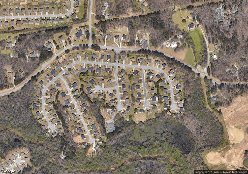
Map
Nearby Homes
- 1483 Autumn Wind Dr
- 1473 Autumn Wind Dr
- 1566 Wilson Manor Cir
- 1591 Oakbrook Pond Place
- 1910 Van Allen Ct
- 1448 Cozy Cove Ln
- 1443 Wilson Manor Cir
- 1950 van Alen Ct
- 1939 van Alen Ct
- Halton Plan at Brooks Station
- Hayden Plan at Brooks Village
- Avion Plan at Brooks Station
- Hanover Plan at Brooks Station
- Mansfield Plan at Brooks Station
- 1909 van Alen Ct
- Galen Plan at Brooks Village
- Galen Plan at Brooks Station
- 1919 van Alen Ct
- Hayden Plan at Brooks Station
- 1949 van Alen Ct
- 1238 Brooks Pointe Dr
- 1218 Brooks Pointe Dr
- 1023 Cassina Ct
- 1013 Cassina Ct
- 1248 Brooks Pointe Dr
- 1033 Cassina Ct
- 1725 Brooks Pointe Ct
- 1217 Brooks Pointe Dr
- 2139 Cathcart Ct
- 1237 Brooks Pointe Dr
- 1735 Brooks Pointe Ct
- 0 Cathcart Ct SE
- 1247 Brooks Pointe Dr
- 1043 Cassina Ct
- 1705 Brooks Pointe Ct
- 1895 BROOK 1895 Brooks Pointe Ct
- 1258 Brooks Pointe Dr
- 2122 Cathcart Ct
- 1020 Cassina Ct
- 1535 Brooks Pointe Dr SE