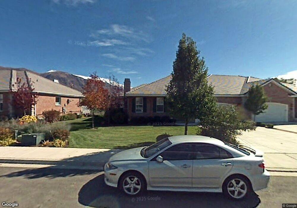
1228 N 160 E American Fork, UT 84003
Estimated Value: $682,313 - $784,000
4
Beds
3
Baths
3,414
Sq Ft
$215/Sq Ft
Est. Value
About This Home
This home is located at 1228 N 160 E, American Fork, UT 84003 and is currently estimated at $734,328, approximately $215 per square foot. 1228 N 160 E is a home located in Utah County with nearby schools including Forbes Elementary School, American Fork Junior High School, and American Fork High School.
Ownership History
Date
Name
Owned For
Owner Type
Purchase Details
Closed on
Aug 11, 2020
Sold by
Thompson Mark and Eilene B Thompson Asset Protec
Bought by
Hubble Jon and Hubble Gloria
Current Estimated Value
Purchase Details
Closed on
Dec 28, 2015
Sold by
Thompson Eilene B
Bought by
Eilene B Thompson Asset Protection Trust and Thompson Mark
Purchase Details
Closed on
Apr 24, 2013
Sold by
Thompson Eilene
Bought by
Thompson Eilene
Purchase Details
Closed on
Apr 4, 2013
Sold by
Maughan Michael
Bought by
Thimpson Eilene
Purchase Details
Closed on
Jun 7, 2007
Sold by
Maughan Ruth C
Bought by
Maughan Ruth C
Purchase Details
Closed on
Feb 20, 2003
Sold by
Robinson Development Inc
Bought by
Maughan Ruth C
Home Financials for this Owner
Home Financials are based on the most recent Mortgage that was taken out on this home.
Original Mortgage
$200,000
Interest Rate
5.89%
Create a Home Valuation Report for This Property
The Home Valuation Report is an in-depth analysis detailing your home's value as well as a comparison with similar homes in the area
Home Values in the Area
Average Home Value in this Area
Purchase History
| Date | Buyer | Sale Price | Title Company |
|---|---|---|---|
| Hubble Jon | -- | Integrated Title Insurance S | |
| Eilene B Thompson Asset Protection Trust | -- | None Available | |
| Thompson Eilene | -- | Inwest Title Services Inc | |
| Thimpson Eilene | -- | Inwest Title Services Inc | |
| Maughan Ruth C | -- | None Available | |
| Maughan Ruth C | -- | -- |
Source: Public Records
Mortgage History
| Date | Status | Borrower | Loan Amount |
|---|---|---|---|
| Previous Owner | Maughan Ruth C | $200,000 |
Source: Public Records
Tax History Compared to Growth
Tax History
| Year | Tax Paid | Tax Assessment Tax Assessment Total Assessment is a certain percentage of the fair market value that is determined by local assessors to be the total taxable value of land and additions on the property. | Land | Improvement |
|---|---|---|---|---|
| 2025 | $3,205 | $376,915 | $164,800 | $520,500 |
| 2024 | $3,205 | $356,070 | $0 | $0 |
| 2023 | $2,859 | $336,820 | $0 | $0 |
| 2022 | $2,893 | $336,270 | $0 | $0 |
| 2021 | $2,590 | $470,300 | $150,000 | $320,300 |
| 2020 | $2,519 | $443,700 | $150,000 | $293,700 |
| 2019 | $2,260 | $411,600 | $150,000 | $261,600 |
| 2018 | $2,363 | $411,600 | $150,000 | $261,600 |
| 2017 | $2,049 | $213,345 | $0 | $0 |
| 2016 | $187 | $176,660 | $0 | $0 |
| 2015 | -- | $169,400 | $0 | $0 |
| 2014 | $260 | $154,000 | $0 | $0 |
Source: Public Records
Map
Nearby Homes
- 1201 N 160 E
- 16 E 1400 N
- 1071 Timpview Dr
- 35 W 1350 N
- 926 N 400 E
- 846 N 60 E
- 10238 N 6530 W Unit 15
- 5284 N 11200 W Unit 3
- 1051 N 390 E Unit 103
- 6079 W Whisper Ln Unit 404
- 1220 E 700 N
- 1039 N 390 E Unit 102
- 11338 N Annes Way Unit 8
- 6111 W Whisper Ln Unit 402
- 5277 N 11200 W Unit 4
- 774 N 150 E Unit 2
- The Madison Plan at Beck Hillside Estates
- The McKenzie Plan at Beck Hillside Estates
- The Avery Plan at Beck Hillside Estates
- The Annie Plan at Beck Hillside Estates