1228 N Redfish St Unit 2a Bolivar Peninsula, TX 77650
Crystal Beach NeighborhoodEstimated Value: $1,001,000
3
Beds
2
Baths
1,173
Sq Ft
$853/Sq Ft
Est. Value
About This Home
This home is located at 1228 N Redfish St Unit 2a, Bolivar Peninsula, TX 77650 and is currently estimated at $1,001,000, approximately $853 per square foot. 1228 N Redfish St Unit 2a is a home located in Galveston County with nearby schools including Morgan Elementary Magnet School, Burnet STREAM Magnet School, and Parker Elementary School.
Ownership History
Date
Name
Owned For
Owner Type
Purchase Details
Closed on
Jan 7, 2008
Sold by
Vratis Jim
Bought by
Parker Charles
Current Estimated Value
Home Financials for this Owner
Home Financials are based on the most recent Mortgage that was taken out on this home.
Original Mortgage
$223,200
Outstanding Balance
$140,226
Interest Rate
6.07%
Mortgage Type
Commercial
Estimated Equity
$860,774
Purchase Details
Closed on
Sep 17, 2004
Sold by
Vratis Jim
Bought by
West Vernon and West Kay
Purchase Details
Closed on
Feb 2, 1999
Sold by
Weir Marjorie Etta
Bought by
Sibley Thomas I
Create a Home Valuation Report for This Property
The Home Valuation Report is an in-depth analysis detailing your home's value as well as a comparison with similar homes in the area
Home Values in the Area
Average Home Value in this Area
Purchase History
| Date | Buyer | Sale Price | Title Company |
|---|---|---|---|
| Parker Charles | -- | South Land Title Company | |
| West Vernon | -- | South Land Title Company Cry | |
| Sibley Thomas I | $33,465 | -- |
Source: Public Records
Mortgage History
| Date | Status | Borrower | Loan Amount |
|---|---|---|---|
| Open | Parker Charles | $223,200 |
Source: Public Records
Tax History Compared to Growth
Tax History
| Year | Tax Paid | Tax Assessment Tax Assessment Total Assessment is a certain percentage of the fair market value that is determined by local assessors to be the total taxable value of land and additions on the property. | Land | Improvement |
|---|---|---|---|---|
| 2025 | $9,112 | $716,340 | $716,340 | -- |
| 2024 | $9,112 | $1,184,700 | $886,090 | $298,610 |
| 2023 | $9,112 | $761,558 | $502,920 | $258,638 |
| 2022 | $22,350 | $1,387,100 | $285,270 | $1,101,830 |
| 2021 | $7,796 | $446,900 | $327,450 | $119,450 |
| 2020 | $6,618 | $356,560 | $327,450 | $29,110 |
| 2019 | $6,938 | $356,560 | $327,450 | $29,110 |
| 2018 | $6,978 | $356,560 | $327,450 | $29,110 |
| 2017 | $6,975 | $356,560 | $327,450 | $29,110 |
| 2016 | $6,975 | $356,550 | $327,450 | $29,100 |
| 2015 | $7,055 | $355,290 | $327,450 | $27,840 |
| 2014 | $7,132 | $357,160 | $323,410 | $33,750 |
Source: Public Records
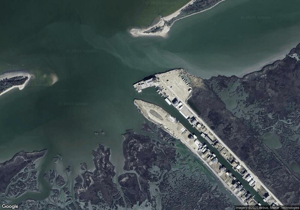
Map
Nearby Homes
- 1228 N Redfish St
- 1202 N Redfish Ln
- 1202 N Redfish St
- 1160 N Redfish St
- 1061 N Stingaree Dr
- 999 S Redfish
- 982 Driftwood Dr
- 979 Palmridge
- 978 Tidelands Dr
- 997 S Redfish
- 989 Biscayne
- 970 Seadrift Dr
- 971 Tidelands Dr
- 000 Sand Dune -- Lot 5 Only Dr
- 963 Palm Ridge Dr
- 962 Driftwood
- 963 Driftwood
- 976 Bahama Dr
- 950 Seadrift Dr
- 982 S Redfish St
- 1228 N Redfish St Unit E3
- 1228 N Redfish St Unit D1
- 1228 N Redfish St Unit H1
- 1228 N Redfish St Unit H3
- 1228 N Redfish St Unit 1C
- 1228 N Redfish St Unit 1D
- 1228 N Redfish St Unit 1b
- 1228 N Redfish St Unit 1A
- 1228 N Redfish St Unit 2C
- 1228 N Redfish St Unit 2d
- 1228 N Redfish St Unit 2b
- 1228 N Redfish 1 St Unit 1
- 1228 N Redfish D4 St Unit D1
- 1228 N Redfish E3 St Unit E3
- 1228 N Redfish D1 St Unit D1
- 1228 N Redfish H4 St Unit H4
- 1228 N Redfish H2 St Unit H2
- 1228 N Redfish H4 St Unit H3
- 1251 N Stingaree Dr
- 1183 N Stingaree Dr