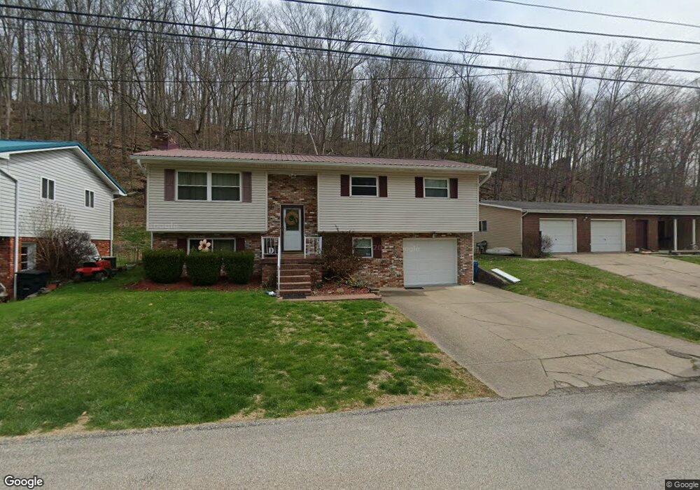
1228 Paula Rd Charleston, WV 25314
Estimated Value: $223,095 - $290,000
3
Beds
3
Baths
2,089
Sq Ft
$125/Sq Ft
Est. Value
About This Home
This home is located at 1228 Paula Rd, Charleston, WV 25314 and is currently estimated at $261,274, approximately $125 per square foot. 1228 Paula Rd is a home located in Kanawha County with nearby schools including Kenna Elementary School, John Adams Middle School, and George Washington High School.
Ownership History
Date
Name
Owned For
Owner Type
Purchase Details
Closed on
Oct 28, 2021
Sold by
Dunlap Denzil W
Bought by
Dunlap Denzil W and Dunlap Lisa A
Current Estimated Value
Purchase Details
Closed on
Nov 16, 2011
Sold by
Matthew D Matthew D and Friend Sarah E
Bought by
Dunlap Denzil W
Home Financials for this Owner
Home Financials are based on the most recent Mortgage that was taken out on this home.
Original Mortgage
$120,000
Outstanding Balance
$81,489
Interest Rate
4.01%
Mortgage Type
Purchase Money Mortgage
Estimated Equity
$179,785
Purchase Details
Closed on
Apr 25, 2008
Sold by
Dunlap Roberta B
Bought by
Friend Matthew D
Home Financials for this Owner
Home Financials are based on the most recent Mortgage that was taken out on this home.
Original Mortgage
$159,497
Interest Rate
5.99%
Mortgage Type
FHA
Create a Home Valuation Report for This Property
The Home Valuation Report is an in-depth analysis detailing your home's value as well as a comparison with similar homes in the area
Home Values in the Area
Average Home Value in this Area
Purchase History
| Date | Buyer | Sale Price | Title Company |
|---|---|---|---|
| Dunlap Denzil W | -- | None Available | |
| Dunlap Denzil W | $170,000 | -- | |
| Friend Matthew D | $162,000 | -- |
Source: Public Records
Mortgage History
| Date | Status | Borrower | Loan Amount |
|---|---|---|---|
| Open | Dunlap Denzil W | $120,000 | |
| Previous Owner | Friend Matthew D | $159,497 |
Source: Public Records
Tax History Compared to Growth
Tax History
| Year | Tax Paid | Tax Assessment Tax Assessment Total Assessment is a certain percentage of the fair market value that is determined by local assessors to be the total taxable value of land and additions on the property. | Land | Improvement |
|---|---|---|---|---|
| 2025 | $1,582 | $98,340 | $14,340 | $84,000 |
| 2024 | $1,582 | $99,480 | $14,340 | $85,140 |
| 2023 | $1,601 | $99,480 | $14,340 | $85,140 |
| 2022 | $1,618 | $100,560 | $14,340 | $86,220 |
| 2021 | $1,377 | $85,920 | $14,340 | $71,580 |
| 2020 | $1,380 | $86,880 | $14,340 | $72,540 |
| 2019 | $1,372 | $86,880 | $14,340 | $72,540 |
| 2018 | $1,219 | $85,380 | $14,340 | $71,040 |
| 2017 | $1,212 | $85,380 | $14,340 | $71,040 |
| 2016 | $1,217 | $86,280 | $14,340 | $71,940 |
| 2015 | $1,207 | $86,280 | $14,340 | $71,940 |
| 2014 | $1,183 | $86,100 | $14,340 | $71,760 |
Source: Public Records
Map
Nearby Homes
- 1239 Paula Rd
- 1233 Lyndale Dr
- 0 Lyndale Dr
- 1130 Lyndale Dr
- 1501 Susan Rd
- 2145 Smith Rd
- 1211 Ellen Dr
- 1 Bridlewood Rd
- 201 Powderhorn Rd
- 2511 Woodland Ave SW
- 924 Harmony Ln
- 1302 Hunters Ridge Rd
- 401 Saddlehorn Rd
- 1941 Olympus Rd
- 103 Saddlehorn Rd
- 303 Saddlehorn Rd
- 2709 Daniels Ave
- 2516 Spring St SW
- 938 Harmony Ln
- 207 Branchfield Dr