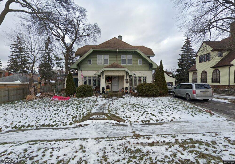
1228 Pershing St Flint, MI 48503
Southwest Flint NeighborhoodEstimated Value: $128,000 - $195,000
Studio
2
Baths
2,151
Sq Ft
$77/Sq Ft
Est. Value
About This Home
This home is located at 1228 Pershing St, Flint, MI 48503 and is currently estimated at $164,685, approximately $76 per square foot. 1228 Pershing St is a home located in Genesee County with nearby schools including Eisenhower School, Flint Southwestern Classical Academy, and St John Vianney Catholic School.
Ownership History
Date
Name
Owned For
Owner Type
Purchase Details
Closed on
Sep 28, 2006
Sold by
Zayas Diane
Bought by
Rochester Wafford and Rochester Linda M
Current Estimated Value
Home Financials for this Owner
Home Financials are based on the most recent Mortgage that was taken out on this home.
Original Mortgage
$91,000
Interest Rate
10.84%
Mortgage Type
Purchase Money Mortgage
Purchase Details
Closed on
Mar 22, 2006
Sold by
Zayas Diane
Bought by
Wm Specialty Mortgage Llc
Purchase Details
Closed on
Mar 15, 2002
Sold by
Tremaine John B and Tremaine Catherine A
Bought by
Zayas Diane M
Purchase Details
Closed on
Jan 28, 2002
Sold by
Equicredit Corp Of America
Bought by
Tremaine John B
Purchase Details
Closed on
Jan 19, 2000
Sold by
Hadad V
Bought by
Equifirst Corp North Carolina
Create a Home Valuation Report for This Property
The Home Valuation Report is an in-depth analysis detailing your home's value as well as a comparison with similar homes in the area
Home Values in the Area
Average Home Value in this Area
Purchase History
| Date | Buyer | Sale Price | Title Company |
|---|---|---|---|
| Rochester Wafford | $91,000 | Accurate | |
| Wm Specialty Mortgage Llc | $105,673 | None Available | |
| Zayas Diane M | $75,000 | Cislo Title Company | |
| Tremaine John B | $53,500 | Cislo Title Company | |
| Equifirst Corp North Carolina | $94,500 | -- |
Source: Public Records
Mortgage History
| Date | Status | Borrower | Loan Amount |
|---|---|---|---|
| Previous Owner | Rochester Wafford | $91,000 |
Source: Public Records
Tax History
| Year | Tax Paid | Tax Assessment Tax Assessment Total Assessment is a certain percentage of the fair market value that is determined by local assessors to be the total taxable value of land and additions on the property. | Land | Improvement |
|---|---|---|---|---|
| 2025 | $1,785 | $78,800 | $0 | $0 |
| 2024 | $1,590 | $74,000 | $0 | $0 |
| 2023 | $1,545 | $57,500 | $0 | $0 |
| 2022 | $0 | $54,000 | $0 | $0 |
| 2021 | $1,625 | $44,500 | $0 | $0 |
| 2020 | $1,437 | $36,000 | $0 | $0 |
| 2019 | $1,383 | $34,700 | $0 | $0 |
| 2018 | $1,443 | $34,500 | $0 | $0 |
| 2017 | $1,397 | $0 | $0 | $0 |
| 2016 | $1,386 | $0 | $0 | $0 |
| 2015 | -- | $0 | $0 | $0 |
| 2014 | -- | $0 | $0 | $0 |
| 2012 | -- | $29,900 | $0 | $0 |
Source: Public Records
Map
Nearby Homes
- 1114 Christopher St
- 1820 Chelsea Cir
- 2112 Miller Rd
- 2124 Swayze St
- 2310 Gibson St
- 2433 Brown St
- 2410 Corunna Rd
- 2509 Corunna Rd
- 2437 Zimmerman St
- 2537 Swayze St
- 2464 Gibson St
- 607 Thayer St
- 2618 Brown St
- 2729 Chicago Blvd
- 2805 Reynolds St
- 2663 W Court St
- 1114 Clancy Ave
- 1727 Briarwood Dr
- 932 Bradley Ave
- 913 Davis St
- 1222 Pershing St
- 1904 Miller Rd
- 1225 Boston Ave
- 1214 Pershing St
- 1914 Miller Rd
- 1229 Boston Ave
- 1221 Boston Ave
- 1217 Boston Ave
- 1213 Boston Ave
- 1210 Pershing St
- 1239 Boston Ave
- 1209 Boston Ave
- 1205 Boston Ave
- 1202 Pershing St
- 1201 Boston Ave
- 1228 Boston Ave
- 1224 Boston Ave
- 1220 Boston Ave
- 1208 Boston Ave
- 1232 Boston Ave
Your Personal Tour Guide
Ask me questions while you tour the home.