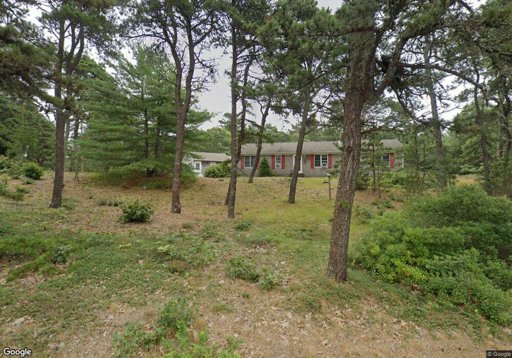
1228-R Bridge Rd Eastham, MA 2642
Estimated Value: $710,000 - $797,000
2
Beds
1
Bath
1,968
Sq Ft
$385/Sq Ft
Est. Value
About This Home
This home is located at 1228-R Bridge Rd, Eastham, MA 2642 and is currently estimated at $757,056, approximately $384 per square foot. 1228-R Bridge Rd is a home located in Barnstable County with nearby schools including Eastham Elementary School, Nauset Regional Middle School, and Nauset Regional High School.
Create a Home Valuation Report for This Property
The Home Valuation Report is an in-depth analysis detailing your home's value as well as a comparison with similar homes in the area
Home Values in the Area
Average Home Value in this Area
Tax History Compared to Growth
Tax History
| Year | Tax Paid | Tax Assessment Tax Assessment Total Assessment is a certain percentage of the fair market value that is determined by local assessors to be the total taxable value of land and additions on the property. | Land | Improvement |
|---|---|---|---|---|
| 2025 | $5,236 | $679,100 | $281,800 | $397,300 |
| 2024 | $4,662 | $665,000 | $273,600 | $391,400 |
| 2023 | $4,153 | $573,600 | $228,000 | $345,600 |
| 2022 | $3,888 | $453,200 | $203,600 | $249,600 |
| 2021 | $3,809 | $414,900 | $185,000 | $229,900 |
| 2020 | $3,548 | $406,900 | $188,900 | $218,000 |
| 2019 | $3,282 | $397,800 | $183,400 | $214,400 |
| 2018 | $3,226 | $386,300 | $178,000 | $208,300 |
| 2017 | $3,012 | $381,300 | $174,500 | $206,800 |
| 2016 | $3,012 | $404,800 | $193,900 | $210,900 |
Source: Public Records
Map
Nearby Homes
- 20 White Pines Dr
- 10 Cartway N
- 330 Hay Rd
- 180 Country Ln
- 785 State Hwy Unit 9
- 1061 State Hwy Unit 4
- 993 Intonti Way
- 995 Intonti Way
- 645 Samoset Rd
- 1875 State Hwy
- 20 Boat Meadow Way
- 1975 State Hwy Unit 3
- 1975 State Hwy Unit 5
- 20 Kittiwake Ln
- 25 Twin Rocks Dr
- 30 Cove Rd
- 385 Bridge Rd
- 60 Smith Heights Way
- 320 State Hwy
- 150 Old State Hwy Unit Compound