1228 S Talbot St Saint Michaels, MD 21663
Estimated Value: $5,793,280
--
Bed
--
Bath
48,886
Sq Ft
$119/Sq Ft
Est. Value
About This Home
This home is located at 1228 S Talbot St, Saint Michaels, MD 21663 and is currently estimated at $5,793,280, approximately $118 per square foot. 1228 S Talbot St is a home located in Talbot County with nearby schools including St. Michaels Elementary School, St. Michaels Middle/High School, and Easton High School.
Ownership History
Date
Name
Owned For
Owner Type
Purchase Details
Closed on
Mar 6, 2012
Sold by
Ruff Motel Inc
Bought by
Destination Lodging Llc
Current Estimated Value
Home Financials for this Owner
Home Financials are based on the most recent Mortgage that was taken out on this home.
Original Mortgage
$2,720,000
Outstanding Balance
$1,867,557
Interest Rate
3.86%
Mortgage Type
Commercial
Estimated Equity
$3,925,723
Purchase Details
Closed on
Dec 19, 1986
Sold by
Ruff Harold J
Bought by
St. Michaels Motor Inn, Inc.
Create a Home Valuation Report for This Property
The Home Valuation Report is an in-depth analysis detailing your home's value as well as a comparison with similar homes in the area
Home Values in the Area
Average Home Value in this Area
Purchase History
| Date | Buyer | Sale Price | Title Company |
|---|---|---|---|
| Destination Lodging Llc | $2,900,000 | Eastern Shore Title Company | |
| St. Michaels Motor Inn, Inc. | $400,000 | -- |
Source: Public Records
Mortgage History
| Date | Status | Borrower | Loan Amount |
|---|---|---|---|
| Open | Destination Lodging Llc | $2,720,000 |
Source: Public Records
Tax History Compared to Growth
Tax History
| Year | Tax Paid | Tax Assessment Tax Assessment Total Assessment is a certain percentage of the fair market value that is determined by local assessors to be the total taxable value of land and additions on the property. | Land | Improvement |
|---|---|---|---|---|
| 2025 | $40,900 | $4,704,600 | $1,060,500 | $3,644,100 |
| 2024 | $40,900 | $4,569,333 | $0 | $0 |
| 2023 | $37,599 | $4,434,067 | $0 | $0 |
| 2022 | $33,839 | $4,298,800 | $1,060,500 | $3,238,300 |
| 2021 | $25,480 | $3,864,467 | $0 | $0 |
| 2020 | $25,480 | $3,430,133 | $0 | $0 |
| 2019 | $22,254 | $2,995,800 | $1,060,500 | $1,935,300 |
| 2018 | $21,513 | $2,995,800 | $1,060,500 | $1,935,300 |
| 2017 | $20,455 | $2,995,800 | $0 | $0 |
| 2016 | $20,608 | $3,206,800 | $0 | $0 |
| 2015 | $18,758 | $3,206,800 | $0 | $0 |
| 2014 | $18,758 | $3,206,800 | $0 | $0 |
Source: Public Records
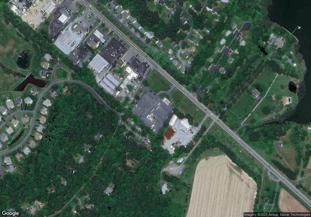
Map
Nearby Homes
- 25070 Hurley Ln
- 108 Miles
- 25028 Maplewood Dr
- 24977 Back Creek Dr
- 0 Pea Neck Rd Map 32 Parcel 76 Lot 2
- 510 Tenant Cir
- 228 Tyler Ave
- 912 Calvert Ave
- 807 Radcliff Ave
- 207 Seymour Ave
- Lot 16A Meadow St
- Lot 2 Meadow St
- 204 E Marengo St
- 216 E Chew Ave
- 205 E Chew Ave
- 222 E Chestnut St
- 7369 Drum Point Rd
- 107 E Chestnut St
- 204 Mulberry St
- 113 Thompson St
- 25060 Hurley Ln
- 25080 Hurley Ln
- 25069 Hurley Ln
- 25063 Hurley Ln
- 25084 Hurley Ln
- 25073 Hurley Ln
- 7941 Pea Neck Rd
- 110 Bush Terrace
- 106 Bush Terrace
- 108 Bush Terrace
- 104 Bush Terrace
- 111 Bush Terrace
- 1216 S Talbot St
- 25149 Saint Michaels Rd
- 7936 Pea Neck Rd
- 102 Bush Terrace
- 7944 Pea Neck Rd
- 105 Bush Terrace
- 1221 Washington Dr
- 100 Bush Terrace