1228 Staghorn Ln China Grove, NC 28023
Estimated Value: $312,000 - $470,000
--
Bed
2
Baths
1,439
Sq Ft
$267/Sq Ft
Est. Value
About This Home
This home is located at 1228 Staghorn Ln, China Grove, NC 28023 and is currently estimated at $383,645, approximately $266 per square foot. 1228 Staghorn Ln is a home located in Rowan County with nearby schools including Bostian Elementary School, China Grove Middle School, and Jesse C Carson High School.
Ownership History
Date
Name
Owned For
Owner Type
Purchase Details
Closed on
Sep 21, 2011
Sold by
Ruggles Robert W
Bought by
Ruggles Robert W
Current Estimated Value
Home Financials for this Owner
Home Financials are based on the most recent Mortgage that was taken out on this home.
Original Mortgage
$210,000
Interest Rate
4.62%
Mortgage Type
New Conventional
Purchase Details
Closed on
May 1, 2006
Sold by
Ruggles Robert W and Ruggles Blye C
Bought by
Ruggles Robert W
Create a Home Valuation Report for This Property
The Home Valuation Report is an in-depth analysis detailing your home's value as well as a comparison with similar homes in the area
Home Values in the Area
Average Home Value in this Area
Purchase History
| Date | Buyer | Sale Price | Title Company |
|---|---|---|---|
| Ruggles Robert W | -- | None Available | |
| Ruggles Robert W | -- | None Available |
Source: Public Records
Mortgage History
| Date | Status | Borrower | Loan Amount |
|---|---|---|---|
| Closed | Ruggles Robert W | $210,000 |
Source: Public Records
Tax History Compared to Growth
Tax History
| Year | Tax Paid | Tax Assessment Tax Assessment Total Assessment is a certain percentage of the fair market value that is determined by local assessors to be the total taxable value of land and additions on the property. | Land | Improvement |
|---|---|---|---|---|
| 2025 | $2,242 | $334,615 | $164,484 | $170,131 |
| 2024 | $2,242 | $334,615 | $164,484 | $170,131 |
| 2023 | $2,242 | $334,615 | $164,484 | $170,131 |
| 2022 | $1,706 | $228,258 | $127,483 | $100,775 |
| 2021 | $1,681 | $226,571 | $125,796 | $100,775 |
| 2020 | $1,681 | $226,571 | $125,796 | $100,775 |
| 2019 | $1,681 | $226,571 | $125,796 | $100,775 |
| 2018 | $1,593 | $216,545 | $125,796 | $90,749 |
| 2017 | $1,593 | $216,545 | $125,796 | $90,749 |
| 2016 | $1,613 | $216,545 | $125,796 | $90,749 |
| 2015 | $1,647 | $216,545 | $125,796 | $90,749 |
| 2014 | $1,589 | $220,560 | $125,796 | $94,764 |
Source: Public Records
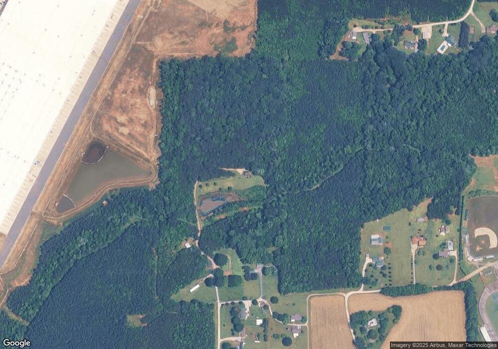
Map
Nearby Homes
- 1660 Lentz Rd
- 0 Highway 152 E Unit 1200411
- 850 and 830 E Nc 152 Hwy E
- 215 Ketchie Estates Rd
- 175 Ketchie Estates Rd
- 145 Ketchie Estates Rd
- 220 Yost Town Rd
- 1280 Elm Forest Ln
- 1307 Elm Forest Ln
- 1306 Elm Forest Ln
- 1274 Elm Forest Ln
- 0 Heglar St
- 1256 Elm Forest Ln
- 1202 Elm Forest Ln
- 1231 Elm Forest Ln
- 1213 Elm Forest Ln
- 1335 Brookwood Dr
- Fairview Plan at Liberty Grove - Single Family Homes
- Woodford Plan at Liberty Grove - Single Family Homes
- Poplar Plan at Liberty Grove - Single Family Homes