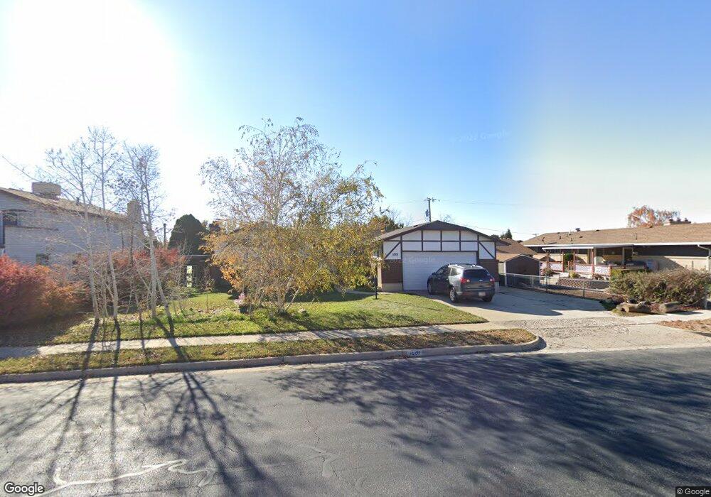
1228 Valhalla Dr Clearfield, UT 84015
Estimated Value: $450,061 - $537,000
3
Beds
2
Baths
1,624
Sq Ft
$297/Sq Ft
Est. Value
About This Home
This home is located at 1228 Valhalla Dr, Clearfield, UT 84015 and is currently estimated at $481,765, approximately $296 per square foot. 1228 Valhalla Dr is a home located in Davis County with nearby schools including South Clearfield Elementary School, North Davis Junior High School, and Clearfield High School.
Ownership History
Date
Name
Owned For
Owner Type
Purchase Details
Closed on
Oct 2, 2018
Sold by
Cunningham Janet
Bought by
Liv Cunningham Janet and Liv Janet Cunningham Revocable
Current Estimated Value
Purchase Details
Closed on
Mar 5, 2008
Sold by
Cunningham Jan C and Cunningham Janet L
Bought by
Cunningham Janet
Purchase Details
Closed on
Nov 4, 1999
Sold by
The First National Bank Of Layton
Bought by
Cunningham Jan C and Cunningham Janet L
Create a Home Valuation Report for This Property
The Home Valuation Report is an in-depth analysis detailing your home's value as well as a comparison with similar homes in the area
Home Values in the Area
Average Home Value in this Area
Purchase History
| Date | Buyer | Sale Price | Title Company |
|---|---|---|---|
| Liv Cunningham Janet | -- | None Available | |
| Cunningham Janet | -- | None Available | |
| Cunningham Jan C | -- | Associated Title Company |
Source: Public Records
Tax History
| Year | Tax Paid | Tax Assessment Tax Assessment Total Assessment is a certain percentage of the fair market value that is determined by local assessors to be the total taxable value of land and additions on the property. | Land | Improvement |
|---|---|---|---|---|
| 2025 | $2,627 | $235,400 | $78,103 | $157,297 |
| 2024 | $2,529 | $228,250 | $74,626 | $153,624 |
| 2023 | $2,300 | $381,000 | $118,826 | $262,174 |
| 2022 | $2,449 | $219,450 | $67,587 | $151,863 |
| 2021 | $2,208 | $299,000 | $74,791 | $224,209 |
| 2020 | $1,934 | $260,000 | $63,477 | $196,523 |
| 2019 | $1,876 | $249,000 | $64,414 | $184,586 |
| 2018 | $1,732 | $224,000 | $54,315 | $169,685 |
| 2016 | $1,640 | $110,880 | $23,041 | $87,839 |
| 2015 | $1,492 | $96,195 | $23,041 | $73,154 |
| 2014 | $1,415 | $92,421 | $23,041 | $69,380 |
| 2013 | -- | $101,750 | $31,203 | $70,547 |
Source: Public Records
Map
Nearby Homes
- 1184 E Valhalla Dr
- 1520 E 1100 S
- 911 S 1500 E
- 1127 E 1050 S
- 1021 E 1225 S Unit A
- 990 E 1150 S
- 1560 E 800 S Unit C
- 870 S 1625 E Unit A
- 1543 E 750 S Unit C5
- 865 S 1650 E Unit A
- 876 S 1000 E
- 1624 E 750 S Unit D-9
- 897 E 1000 S
- 842 E 1000 S
- 1596 N Main St Unit 2
- 1606 W 1960 N
- 1648 W 1920 N
- 1916 N Celia Way
- 2548 N 1150 W
- 1883 W 1575 N
- 1230 Valhalla Dr
- 1226 Valhalla Dr
- 1223 E 1100 S
- 1221 E 1100 S
- 1225 E 1100 S
- 1232 Valhalla Dr
- 1229 Valhalla Dr
- 1155 S 1100 E A-2
- 1227 Valhalla Dr
- 1271 E 1250 S
- 1224 Valhalla Dr
- 1281 E 1250 S
- 1227 S 1250 E
- 1237 Valhalla Dr
- 1240 Valhalla Dr
- 1217 E 1100 S
- 1231 Valhalla Dr
- 1225 Valhalla Dr
- 1224 E 1100 S
- 1220 E 1100 S
Your Personal Tour Guide
Ask me questions while you tour the home.