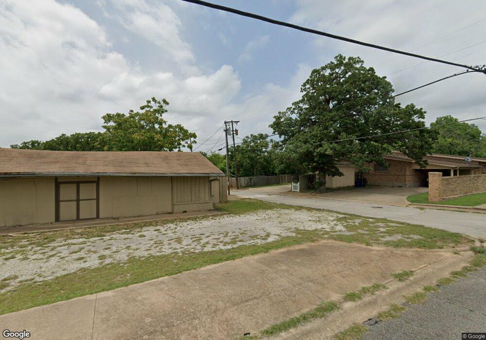
1228 W Munson St Denison, TX 75020
Estimated Value: $185,430 - $241,000
2
Beds
1
Bath
1,209
Sq Ft
$176/Sq Ft
Est. Value
About This Home
This home is located at 1228 W Munson St, Denison, TX 75020 and is currently estimated at $213,215, approximately $176 per square foot. 1228 W Munson St is a home located in Grayson County with nearby schools including Houston Elementary School, Scott Middle School, and Denison High School.
Ownership History
Date
Name
Owned For
Owner Type
Purchase Details
Closed on
Jul 2, 2019
Sold by
Ward Chase D and Ward Laciw Nichole
Bought by
Higgins Jesse W and Higgins Kay J
Current Estimated Value
Purchase Details
Closed on
Mar 1, 2010
Sold by
Smith Christopher Derek and Hammonds Rachel
Bought by
Ward Chase D
Home Financials for this Owner
Home Financials are based on the most recent Mortgage that was taken out on this home.
Original Mortgage
$40,500
Interest Rate
4.98%
Mortgage Type
Purchase Money Mortgage
Purchase Details
Closed on
Jun 1, 2005
Sold by
Williams Daniel C and Williams Eunyoung
Bought by
Smith Christopher Derek and Hammonds Rachel
Home Financials for this Owner
Home Financials are based on the most recent Mortgage that was taken out on this home.
Original Mortgage
$74,825
Interest Rate
5.79%
Mortgage Type
FHA
Create a Home Valuation Report for This Property
The Home Valuation Report is an in-depth analysis detailing your home's value as well as a comparison with similar homes in the area
Home Values in the Area
Average Home Value in this Area
Purchase History
| Date | Buyer | Sale Price | Title Company |
|---|---|---|---|
| Higgins Jesse W | -- | Grayson County Title | |
| Ward Chase D | -- | Chapin Title Co Inc | |
| Smith Christopher Derek | -- | -- |
Source: Public Records
Mortgage History
| Date | Status | Borrower | Loan Amount |
|---|---|---|---|
| Previous Owner | Ward Chase D | $40,500 | |
| Previous Owner | Smith Christopher Derek | $74,825 |
Source: Public Records
Tax History Compared to Growth
Tax History
| Year | Tax Paid | Tax Assessment Tax Assessment Total Assessment is a certain percentage of the fair market value that is determined by local assessors to be the total taxable value of land and additions on the property. | Land | Improvement |
|---|---|---|---|---|
| 2025 | $944 | $184,699 | -- | -- |
| 2024 | $3,901 | $167,908 | $0 | $0 |
| 2023 | $944 | $152,644 | $0 | $0 |
| 2022 | $3,297 | $138,767 | $0 | $0 |
| 2021 | $3,182 | $144,680 | $25,950 | $118,730 |
| 2020 | $3,025 | $139,614 | $25,950 | $113,664 |
| 2019 | $2,386 | $97,096 | $25,950 | $71,146 |
| 2018 | $2,187 | $85,446 | $19,050 | $66,396 |
| 2017 | $2,005 | $79,694 | $14,700 | $64,994 |
| 2016 | $1,822 | $65,143 | $14,346 | $50,797 |
| 2015 | $0 | $62,434 | $14,346 | $48,088 |
| 2014 | -- | $59,656 | $14,346 | $45,310 |
Source: Public Records
Map
Nearby Homes
- 1315 W Hull St
- 1131 W Shepherd St
- 1224 W Nelson St
- 1217 W Nelson St
- 1109 S Chandler Ave
- 501 S Eddy Ave
- 1508 W Shepherd St
- 919 W Day St
- 1319 W Morgan St
- 1127 W Morgan St
- 901 W Munson St
- 904 W Shepherd St
- 1007 S Scullin Ave
- 1120 W Owing St
- 830 W Shepherd St
- 1223 W Owing St
- 920 W Morgan St
- 1326 W Crawford St
- 1104 S French Ave
- 1011 S Armstrong Ave
- 1214 W Munson St
- 1230 W Munson St
- 1210 W Munson St
- 1221 W Hull St
- 1211 W Hull St
- 1231 W Hull St
- 1202 W Munson St
- 1200 W Munson St Unit 1202
- 1217 W Munson St
- 1219 W Munson St
- 1215 W Munson St
- 1227 W Munson St
- 1207 W Hull St
- 1211 W Munson St
- 1231 W Munson St
- 1300 W Munson St
- 911 S Perry Ave
- 1205 W Munson St
- 1201 W Munson St
- 1301 W Hull St