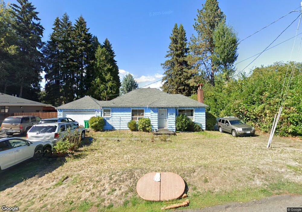
12281 SE Oatfield Rd Milwaukie, OR 97222
Lake Road NeighborhoodEstimated Value: $514,000 - $594,000
2
Beds
1
Bath
2,114
Sq Ft
$259/Sq Ft
Est. Value
About This Home
This home is located at 12281 SE Oatfield Rd, Milwaukie, OR 97222 and is currently estimated at $548,249, approximately $259 per square foot. 12281 SE Oatfield Rd is a home located in Clackamas County with nearby schools including Milwaukie Elementary School, Rowe Middle School, and Milwaukie High School.
Ownership History
Date
Name
Owned For
Owner Type
Purchase Details
Closed on
Nov 20, 2001
Sold by
Hanley Dolores M
Bought by
Meads Steven Dale and Meads Pamela Louise
Current Estimated Value
Home Financials for this Owner
Home Financials are based on the most recent Mortgage that was taken out on this home.
Original Mortgage
$79,300
Outstanding Balance
$30,652
Interest Rate
6.57%
Estimated Equity
$517,597
Purchase Details
Closed on
May 1, 1988
Bought by
Meads Steven Dale and Meads Pamela Louise
Create a Home Valuation Report for This Property
The Home Valuation Report is an in-depth analysis detailing your home's value as well as a comparison with similar homes in the area
Home Values in the Area
Average Home Value in this Area
Purchase History
| Date | Buyer | Sale Price | Title Company |
|---|---|---|---|
| Meads Steven Dale | -- | First American Title Ins Co | |
| Meads Steven Dale | $45,000 | -- |
Source: Public Records
Mortgage History
| Date | Status | Borrower | Loan Amount |
|---|---|---|---|
| Open | Meads Steven Dale | $79,300 |
Source: Public Records
Tax History Compared to Growth
Tax History
| Year | Tax Paid | Tax Assessment Tax Assessment Total Assessment is a certain percentage of the fair market value that is determined by local assessors to be the total taxable value of land and additions on the property. | Land | Improvement |
|---|---|---|---|---|
| 2024 | $4,319 | $197,334 | -- | -- |
| 2023 | $4,319 | $191,587 | $0 | $0 |
| 2022 | $3,989 | $186,007 | $0 | $0 |
| 2021 | $3,849 | $180,590 | $0 | $0 |
| 2020 | $3,730 | $175,331 | $0 | $0 |
| 2019 | $3,674 | $170,225 | $0 | $0 |
| 2018 | $3,267 | $165,267 | $0 | $0 |
| 2017 | $3,173 | $160,453 | $0 | $0 |
| 2016 | $3,067 | $155,780 | $0 | $0 |
| 2015 | $2,920 | $151,243 | $0 | $0 |
| 2014 | $2,770 | $146,838 | $0 | $0 |
Source: Public Records
Map
Nearby Homes
- 11834 SE 33rd Ave
- 12712 SE 31st Ave
- 12632 SE 39th Ct
- 11332 SE 31st Ave
- 11448 SE 27th Ave
- 12735 SE 26th Ave
- 12437 SE 24th Ave
- 11265 SE 30th Ave
- 0 SE Sparrow St
- 12495 SE 23rd Ave
- 4119 SE Northridge Dr
- 12600 SE Freeman Way Unit 60
- 3396 SE Loeffelman Rd
- 12225 SE 19th Ave
- 10845 SE Myrtle St
- 10801 SE Myrtle St
- 4215 SE Franklin St
- 4134 SE Washington St
- 4207 SE Aldercrest Rd
- 4501 SE Chelsea St
- 12249 SE Oatfield Rd
- 12217 SE Oatfield Rd
- 12333 SE Oatfield Rd
- 12175 SE Oatfield Rd
- 3401 SE Guilford Ct
- 12300 SE Oatfield Rd
- 12222 SE 33rd Place
- 12165 SE Oatfield Rd
- 12172 SE Oatfield Rd
- 12352 SE Oatfield Rd
- 12153 SE Oatfield Rd
- 12365 SE Oatfield Rd
- 3417 SE Guilford Ct
- 12150 SE Oatfield Rd
- 12356 SE Oatfield-Prvt Dr
- 12356 SE Oatfield Rd
- 3422 SE Guilford Ct
- 12288 SE 33rd Place
- 12320 SE 33rd Place
- 3346 SE Lake Rd