12285 W 25 S Linton, IN 47441
Estimated Value: $240,000 - $326,453
3
Beds
3
Baths
2,582
Sq Ft
$115/Sq Ft
Est. Value
About This Home
This home is located at 12285 W 25 S, Linton, IN 47441 and is currently estimated at $296,613, approximately $114 per square foot. 12285 W 25 S is a home with nearby schools including Linton-Stockton Elementary School, Linton-Stockton Junior High School, and Linton-Stockton High School.
Create a Home Valuation Report for This Property
The Home Valuation Report is an in-depth analysis detailing your home's value as well as a comparison with similar homes in the area
Home Values in the Area
Average Home Value in this Area
Tax History Compared to Growth
Tax History
| Year | Tax Paid | Tax Assessment Tax Assessment Total Assessment is a certain percentage of the fair market value that is determined by local assessors to be the total taxable value of land and additions on the property. | Land | Improvement |
|---|---|---|---|---|
| 2024 | $1,862 | $176,000 | $24,300 | $151,700 |
| 2023 | $1,887 | $178,500 | $24,300 | $154,200 |
| 2022 | $1,978 | $183,600 | $24,300 | $159,300 |
| 2021 | $1,866 | $169,600 | $24,300 | $145,300 |
| 2020 | $1,853 | $169,600 | $24,300 | $145,300 |
| 2019 | $1,869 | $169,600 | $24,300 | $145,300 |
| 2018 | $1,901 | $173,500 | $24,300 | $149,200 |
| 2017 | $1,876 | $171,900 | $24,300 | $147,600 |
| 2016 | $1,864 | $170,200 | $24,300 | $145,900 |
| 2014 | $1,809 | $168,600 | $24,300 | $144,300 |
| 2013 | -- | $170,800 | $24,300 | $146,500 |
Source: Public Records
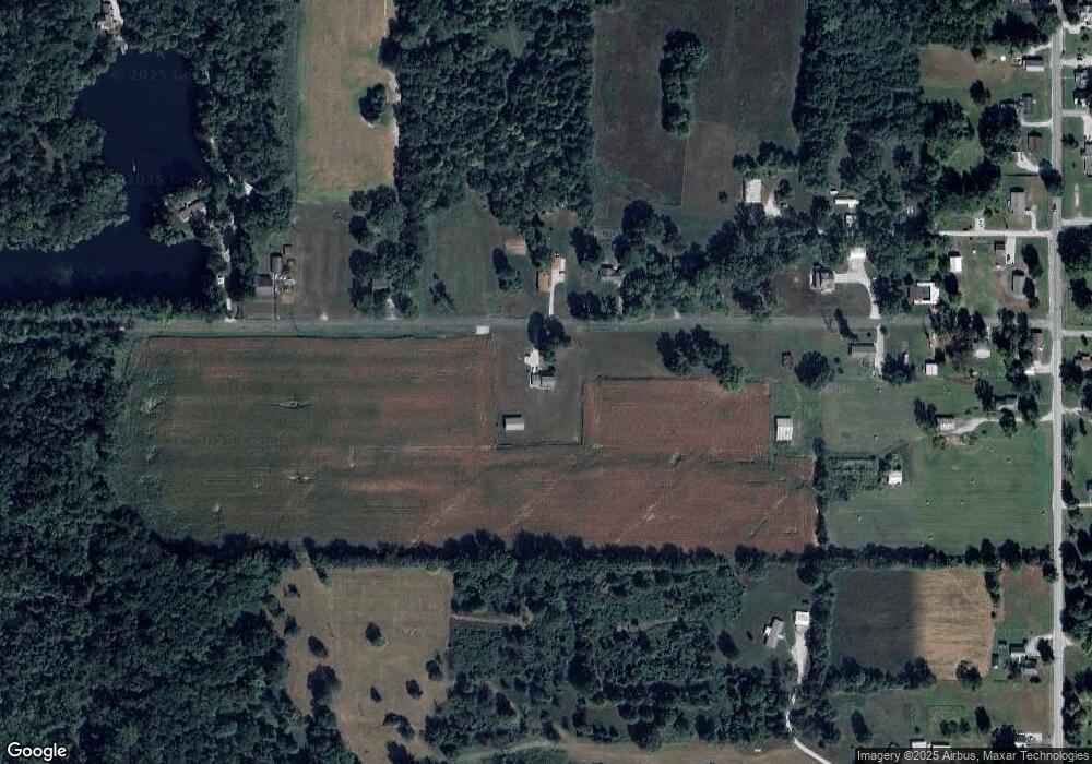
Map
Nearby Homes
- 12138 W 25 S
- 12095 W 25 S
- 12066 W 25 S
- 12204 W 25 S
- 488 S State Road 59
- 12236 W 25 S
- 220 N St SW
- 158 N St SW
- 414 Indiana 59
- 49 N St SW
- 268 S State Road 59
- 291 Indiana 59
- 343 S State Road 59
- 24 N St SW
- 24 J St SW
- 484 S State Road 59
- 411 S State Road 59
- 144 S State Road 59
- 27 M St SE
- 466 S State Road 59