12289 Old Highway 99 S Ashland, OR 97520
Estimated Value: $391,685 - $589,000
3
Beds
2
Baths
2,292
Sq Ft
$209/Sq Ft
Est. Value
About This Home
This home is located at 12289 Old Highway 99 S, Ashland, OR 97520 and is currently estimated at $479,228, approximately $209 per square foot. 12289 Old Highway 99 S is a home located in Jackson County with nearby schools including Bellview Elementary School, Ashland Middle School, and Ashland High School.
Ownership History
Date
Name
Owned For
Owner Type
Purchase Details
Closed on
Sep 3, 2025
Sold by
Cassidy Daniel T
Bought by
Daniel T Cassidy Living Trust and Cassidy
Current Estimated Value
Purchase Details
Closed on
Sep 13, 2017
Sold by
Hallinan Patrick K and Hallinan Jeanne W
Bought by
Cassidy Daniel T
Home Financials for this Owner
Home Financials are based on the most recent Mortgage that was taken out on this home.
Original Mortgage
$355,020
Interest Rate
3.86%
Mortgage Type
New Conventional
Create a Home Valuation Report for This Property
The Home Valuation Report is an in-depth analysis detailing your home's value as well as a comparison with similar homes in the area
Home Values in the Area
Average Home Value in this Area
Purchase History
| Date | Buyer | Sale Price | Title Company |
|---|---|---|---|
| Daniel T Cassidy Living Trust | -- | None Listed On Document | |
| Cassidy Daniel T | $366,000 | First American |
Source: Public Records
Mortgage History
| Date | Status | Borrower | Loan Amount |
|---|---|---|---|
| Previous Owner | Cassidy Daniel T | $355,020 |
Source: Public Records
Tax History Compared to Growth
Tax History
| Year | Tax Paid | Tax Assessment Tax Assessment Total Assessment is a certain percentage of the fair market value that is determined by local assessors to be the total taxable value of land and additions on the property. | Land | Improvement |
|---|---|---|---|---|
| 2025 | $2,179 | $192,420 | $110,540 | $81,880 |
| 2024 | $2,179 | $186,820 | $107,310 | $79,510 |
| 2023 | $2,108 | $181,380 | $104,190 | $77,190 |
| 2022 | $2,039 | $181,380 | $104,190 | $77,190 |
| 2021 | $1,967 | $176,100 | $101,160 | $74,940 |
| 2020 | $1,914 | $170,980 | $98,220 | $72,760 |
| 2019 | $1,878 | $161,170 | $92,590 | $68,580 |
| 2018 | $1,764 | $156,480 | $89,900 | $66,580 |
| 2017 | $1,766 | $156,480 | $89,900 | $66,580 |
| 2016 | $1,730 | $147,510 | $84,750 | $62,760 |
| 2015 | $1,677 | $147,510 | $84,750 | $62,760 |
| 2014 | $1,621 | $139,050 | $79,890 | $59,160 |
Source: Public Records
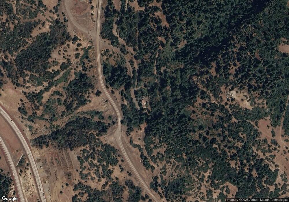
Map
Nearby Homes
- 0 Highway 99 Unit 220209869
- 4712 Old Highway 99 S
- 0 Colestin Rd Unit 104385842
- 5631 Old Highway 99 S
- 5010 Old Highway 99 S
- 0 Old Hwy 99 Unit 220199869
- 4492 Old Highway 99 S
- 545 Conifer Way
- 500 Conifer Way
- 9840 Mount Ashland Ski Rd
- 492 Conifer Way
- 3721 Old Highway 99 S
- 500 Mt Ashland Ski Rd
- 1988 Old Siskiyou Hwy
- 1694 Old Siskiyou Hwy
- 108 Baldy Creek Rd
- 2345 Old Greensprings Hwy
- 700 Neil Creek Rd
- 4260 Clayton Rd
- 855 Reiten Dr
- 12289 S Old 99 Hwy
- 12289 Highway 99 S
- 12001 Highway 99 S
- 16951 Pacific Crest Trail Unit LT268
- 16939 Pacific Crest Trail Unit LT267
- 16899 Pacific Crest Trail Unit LT266
- 16963 Pacific Crest Trail Unit LT269
- 11800 Highway 99 S
- 11900 Highway 99 S
- 11000 Mt Ashland Ski Rd
- 11000 Mount Ashland Ski Rd
- 11040 Mt Ashland Ski Rd
- 9867 Mt Ashland Ski Rd
- 9870 Mt Ashland Ski Rd
- 10255 Mount Ashland Ski Rd
- 10255 Mt Ashland Ski Rd
- 11266 Mt Ashland Ski Rd
- 11250 Mount Ashland Rd
- 11250 Mt Ashland Ski Rd
- 11200 Mt Ashland Ski Rd