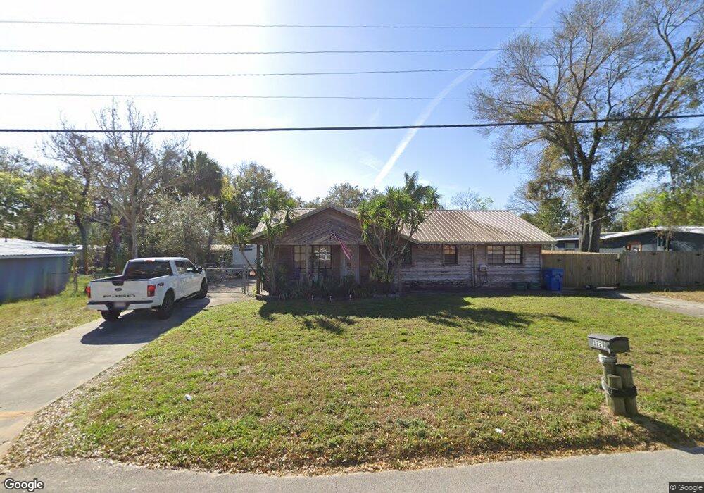
1229 10th St Daytona Beach, FL 32117
Neighborhood K NeighborhoodEstimated Value: $197,048 - $246,000
3
Beds
2
Baths
1,208
Sq Ft
$176/Sq Ft
Est. Value
About This Home
This home is located at 1229 10th St, Daytona Beach, FL 32117 and is currently estimated at $212,012, approximately $175 per square foot. 1229 10th St is a home located in Volusia County with nearby schools including Westside Elementary School, Campbell Middle School, and Mainland High School.
Ownership History
Date
Name
Owned For
Owner Type
Purchase Details
Closed on
Apr 21, 2017
Sold by
Hanrahan Jason W and Hanrahan Kelly L
Bought by
Hintz Donald and Hintz Darlene
Current Estimated Value
Home Financials for this Owner
Home Financials are based on the most recent Mortgage that was taken out on this home.
Original Mortgage
$128,000
Outstanding Balance
$105,754
Interest Rate
4.21%
Mortgage Type
VA
Estimated Equity
$106,258
Purchase Details
Closed on
Feb 17, 2006
Sold by
Hanrahan Jeffrey L and Hanrahan Nancy S
Bought by
Hanrahan Jason W and Hanrahan Kelly L
Home Financials for this Owner
Home Financials are based on the most recent Mortgage that was taken out on this home.
Original Mortgage
$80,000
Interest Rate
6.04%
Mortgage Type
Fannie Mae Freddie Mac
Purchase Details
Closed on
Sep 15, 1988
Bought by
Hanrahan Jason W and Hanrahan Kelly L
Purchase Details
Closed on
Oct 15, 1975
Bought by
Hanrahan Jason W and Hanrahan Kelly L
Create a Home Valuation Report for This Property
The Home Valuation Report is an in-depth analysis detailing your home's value as well as a comparison with similar homes in the area
Home Values in the Area
Average Home Value in this Area
Purchase History
| Date | Buyer | Sale Price | Title Company |
|---|---|---|---|
| Hintz Donald | $128,000 | Southern Title | |
| Hanrahan Jason W | $100,000 | Premier Title & Abstract Inc | |
| Hanrahan Jason W | $2,200 | -- | |
| Hanrahan Jason W | $15,000 | -- |
Source: Public Records
Mortgage History
| Date | Status | Borrower | Loan Amount |
|---|---|---|---|
| Open | Hintz Donald | $128,000 | |
| Previous Owner | Hanrahan Jason W | $80,000 |
Source: Public Records
Tax History
| Year | Tax Paid | Tax Assessment Tax Assessment Total Assessment is a certain percentage of the fair market value that is determined by local assessors to be the total taxable value of land and additions on the property. | Land | Improvement |
|---|---|---|---|---|
| 2026 | $413 | $95,868 | -- | -- |
| 2025 | $413 | $93,348 | -- | -- |
| 2024 | $377 | $90,718 | -- | -- |
| 2023 | $377 | $88,076 | $0 | $0 |
| 2022 | $350 | $85,511 | $0 | $0 |
| 2021 | $349 | $83,020 | $0 | $0 |
| 2020 | $341 | $81,874 | $0 | $0 |
| 2019 | $341 | $80,033 | $0 | $0 |
| 2018 | $327 | $78,541 | $8,550 | $69,991 |
| 2017 | $833 | $52,079 | $0 | $0 |
| 2016 | $825 | $51,008 | $0 | $0 |
| 2015 | $842 | $50,653 | $0 | $0 |
| 2014 | $862 | $54,777 | $0 | $0 |
Source: Public Records
Map
Nearby Homes
- 1224 10th St
- 1290 9th St Unit 403
- 1290 9th St Unit 505
- 1290 9th St Unit 205
- 1290 9th St Unit 604
- 1219 David Dr
- 1229 Deneece Terrace
- 911 Shady Park Terrace
- 1216 Deneece Terrace
- 1215 Leon Ln
- 1204 David Dr
- 0 Derbyshire Rd
- 10th Derbyshire Rd
- 1212 Leon Ln
- 1195 10th St
- 0000 8th St
- 1348 Hurst St
- 1158 Coquina Bluff
- 1142 Coquina Bluff
- 929 Derbyshire Rd
Your Personal Tour Guide
Ask me questions while you tour the home.