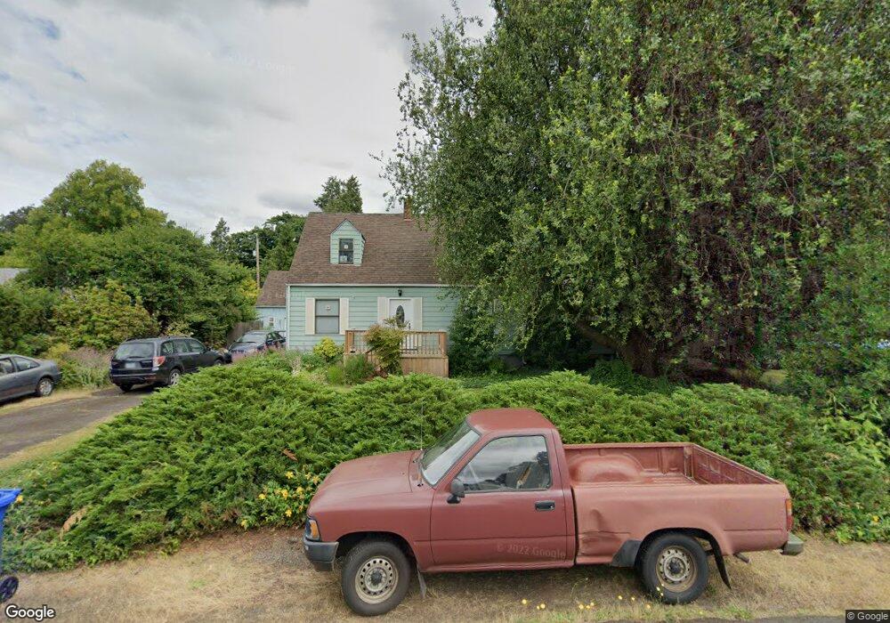
1229 Dalton Dr Eugene, OR 97404
River Road NeighborhoodEstimated Value: $465,000 - $624,000
4
Beds
2
Baths
1,345
Sq Ft
$383/Sq Ft
Est. Value
About This Home
This home is located at 1229 Dalton Dr, Eugene, OR 97404 and is currently estimated at $515,506, approximately $383 per square foot. 1229 Dalton Dr is a home located in Lane County with nearby schools including Howard Elementary School, Kelly Middle School, and North Eugene High School.
Ownership History
Date
Name
Owned For
Owner Type
Purchase Details
Closed on
Sep 29, 2010
Sold by
Richmond Nicholas M and Richmond Janet E
Bought by
Logan Christopher and Hsu Teresa Logan
Current Estimated Value
Purchase Details
Closed on
Dec 3, 1998
Sold by
Richmond N M & J E Life Est and Merribeth Richmond Merribeth
Bought by
Richmond Nicholas M and Richmond Janet E
Home Financials for this Owner
Home Financials are based on the most recent Mortgage that was taken out on this home.
Original Mortgage
$68,000
Interest Rate
6.69%
Create a Home Valuation Report for This Property
The Home Valuation Report is an in-depth analysis detailing your home's value as well as a comparison with similar homes in the area
Home Values in the Area
Average Home Value in this Area
Purchase History
| Date | Buyer | Sale Price | Title Company |
|---|---|---|---|
| Logan Christopher | $274,500 | Cascade Title Company | |
| Richmond Nicholas M | -- | Key Title Company |
Source: Public Records
Mortgage History
| Date | Status | Borrower | Loan Amount |
|---|---|---|---|
| Previous Owner | Richmond Nicholas M | $68,000 |
Source: Public Records
Tax History
| Year | Tax Paid | Tax Assessment Tax Assessment Total Assessment is a certain percentage of the fair market value that is determined by local assessors to be the total taxable value of land and additions on the property. | Land | Improvement |
|---|---|---|---|---|
| 2025 | $4,242 | $252,484 | -- | -- |
| 2024 | $4,196 | $245,131 | -- | -- |
| 2023 | $4,196 | $237,992 | $0 | $0 |
| 2022 | $3,946 | $231,061 | $0 | $0 |
| 2021 | $3,670 | $224,332 | $0 | $0 |
| 2020 | $3,696 | $217,799 | $0 | $0 |
| 2019 | $3,566 | $211,456 | $0 | $0 |
| 2018 | $3,326 | $199,318 | $0 | $0 |
| 2017 | $3,203 | $199,318 | $0 | $0 |
| 2016 | $3,115 | $193,513 | $0 | $0 |
| 2015 | $3,013 | $187,877 | $0 | $0 |
| 2014 | $3,021 | $182,405 | $0 | $0 |
Source: Public Records
Map
Nearby Homes
- 1314 Dalton Dr
- 1010 Horn Ln
- 1010 N Park Ave
- 1360 Andersen Ln
- 788 Cornwall Ave
- 1633 Zoe Ave
- 895 Glory Dr
- 1164 Veronica Ln
- 1555 Escalante St
- 1483 Barton St
- 1487 Barton St
- 1420 Evergreen Dr
- 1566 Maywood Ave
- 389 Maxwell Rd
- 820 Park Terrace
- 1682 Hemlock St
- 1685 Evergreen Dr
- 780 Cherry Ave
- 734 Filbert Ave
- 1035 Madera St
Your Personal Tour Guide
Ask me questions while you tour the home.