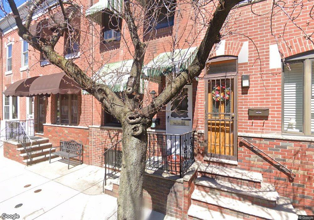
1229 Durfor St Philadelphia, PA 19148
South Philadelphia East NeighborhoodEstimated Value: $218,000 - $233,000
3
Beds
1
Bath
784
Sq Ft
$291/Sq Ft
Est. Value
About This Home
This home is located at 1229 Durfor St, Philadelphia, PA 19148 and is currently estimated at $227,924, approximately $290 per square foot. 1229 Durfor St is a home located in Philadelphia County with nearby schools including South Philadelphia High School, Abram Jenks School, and Philadelphia Performing Arts Charter School.
Ownership History
Date
Name
Owned For
Owner Type
Purchase Details
Closed on
Apr 12, 2021
Sold by
Estate Of John Carey
Bought by
Fnu Suryanti
Current Estimated Value
Home Financials for this Owner
Home Financials are based on the most recent Mortgage that was taken out on this home.
Original Mortgage
$168,875
Outstanding Balance
$152,717
Interest Rate
3.1%
Mortgage Type
New Conventional
Estimated Equity
$75,207
Purchase Details
Closed on
Sep 18, 1980
Bought by
Carey John and Carey Mary
Create a Home Valuation Report for This Property
The Home Valuation Report is an in-depth analysis detailing your home's value as well as a comparison with similar homes in the area
Home Values in the Area
Average Home Value in this Area
Purchase History
| Date | Buyer | Sale Price | Title Company |
|---|---|---|---|
| Fnu Suryanti | $175,000 | Capital Assurance Group | |
| Carey John | $34,500 | -- |
Source: Public Records
Mortgage History
| Date | Status | Borrower | Loan Amount |
|---|---|---|---|
| Open | Fnu Suryanti | $168,875 |
Source: Public Records
Tax History Compared to Growth
Tax History
| Year | Tax Paid | Tax Assessment Tax Assessment Total Assessment is a certain percentage of the fair market value that is determined by local assessors to be the total taxable value of land and additions on the property. | Land | Improvement |
|---|---|---|---|---|
| 2025 | $2,685 | $215,200 | $43,040 | $172,160 |
| 2024 | $2,685 | $215,200 | $43,040 | $172,160 |
| 2023 | $2,685 | $191,800 | $38,360 | $153,440 |
| 2022 | $2,569 | $191,800 | $38,360 | $153,440 |
| 2021 | $2,569 | $0 | $0 | $0 |
| 2020 | $2,569 | $183,500 | $39,636 | $143,864 |
| 2019 | $2,371 | $0 | $0 | $0 |
| 2018 | $1,848 | $0 | $0 | $0 |
| 2017 | $1,848 | $0 | $0 | $0 |
| 2016 | $1,428 | $0 | $0 | $0 |
| 2015 | $1,151 | $0 | $0 | $0 |
| 2014 | -- | $115,900 | $10,430 | $105,470 |
| 2012 | -- | $12,288 | $1,185 | $11,103 |
Source: Public Records
Map
Nearby Homes
- 1218 Durfor St
- 2315 S 12th St
- 1143 Durfor St
- 2337 S 13th St
- 1128 Wolf St
- 2327 S 13th St
- 2240 S 12th St
- 1115 Durfor St
- 2428 S Sartain St
- 1231 Wolf St
- 2422 S Iseminger St
- 2436 S Sartain St
- 2417 S Clarion St
- 1142 Tree St
- 1106 W Moyamensing Ave
- 2225 S 13th St
- 1117 Daly St
- 1029 W Ritner St
- 2440 S 13th St
- 2441 S Clarion St