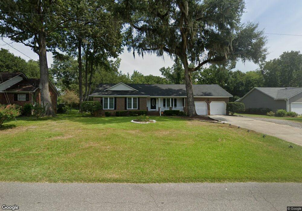
1229 Edward Dr Moncks Corner, SC 29461
Estimated Value: $316,361 - $344,000
3
Beds
2
Baths
1,636
Sq Ft
$199/Sq Ft
Est. Value
About This Home
This home is located at 1229 Edward Dr, Moncks Corner, SC 29461 and is currently estimated at $325,090, approximately $198 per square foot. 1229 Edward Dr is a home located in Berkeley County with nearby schools including Moncks Corner Elementary School, Berkeley Middle School, and Berkeley High School.
Ownership History
Date
Name
Owned For
Owner Type
Purchase Details
Closed on
Dec 30, 2014
Sold by
Wolfe Timothy W and Braham Stacy L
Bought by
Scott John
Current Estimated Value
Home Financials for this Owner
Home Financials are based on the most recent Mortgage that was taken out on this home.
Original Mortgage
$152,550
Interest Rate
3.77%
Mortgage Type
New Conventional
Purchase Details
Closed on
Aug 26, 2005
Sold by
Rusler Tony F
Bought by
Wolfe Timothy W and Braham Stacy L
Home Financials for this Owner
Home Financials are based on the most recent Mortgage that was taken out on this home.
Original Mortgage
$169,000
Interest Rate
5.61%
Mortgage Type
New Conventional
Purchase Details
Closed on
Jun 8, 2001
Sold by
Carter Lonnie N and Carter Laurie M
Bought by
Rusler Tony F
Create a Home Valuation Report for This Property
The Home Valuation Report is an in-depth analysis detailing your home's value as well as a comparison with similar homes in the area
Home Values in the Area
Average Home Value in this Area
Purchase History
| Date | Buyer | Sale Price | Title Company |
|---|---|---|---|
| Scott John | $169,500 | -- | |
| Wolfe Timothy W | $169,000 | -- | |
| Rusler Tony F | $123,000 | -- |
Source: Public Records
Mortgage History
| Date | Status | Borrower | Loan Amount |
|---|---|---|---|
| Previous Owner | Scott John | $152,550 | |
| Previous Owner | Wolfe Timothy W | $169,000 |
Source: Public Records
Tax History Compared to Growth
Tax History
| Year | Tax Paid | Tax Assessment Tax Assessment Total Assessment is a certain percentage of the fair market value that is determined by local assessors to be the total taxable value of land and additions on the property. | Land | Improvement |
|---|---|---|---|---|
| 2025 | $682 | $196,127 | $37,397 | $158,730 |
| 2024 | $682 | $7,845 | $1,496 | $6,349 |
| 2023 | $682 | $7,845 | $1,496 | $6,349 |
| 2022 | $657 | $6,822 | $1,601 | $5,221 |
| 2021 | $672 | $6,820 | $1,601 | $5,221 |
| 2020 | $680 | $6,822 | $1,601 | $5,221 |
| 2019 | $676 | $6,822 | $1,601 | $5,221 |
| 2018 | $598 | $5,932 | $1,600 | $4,332 |
| 2017 | $808 | $5,932 | $1,600 | $4,332 |
| 2016 | $826 | $5,930 | $1,600 | $4,330 |
| 2015 | $765 | $5,930 | $1,600 | $4,330 |
| 2014 | $753 | $5,930 | $1,600 | $4,330 |
| 2013 | -- | $5,930 | $1,600 | $4,330 |
Source: Public Records
Map
Nearby Homes
- 1117 Quenby Ln
- 1309 Dennis Blvd
- 1406 Cooper River Blvd
- 1401 Cooper River Blvd
- 509 Shady Maple St
- 510 Shady Maple St
- 522 Shady Maple St
- 500 Shady Maple St
- 414 Blue Elderberry Run
- 126 U S 52
- 1407 Dennis Blvd
- 111 N Highway 52
- 110 Cardinal Flower Ct
- 113 Cardinal Flower Ct
- 407 Spruce Ivy St
- 220 N Highway 52
- 1101 Stuart Dr
- 476 Rockville Rd
- 619 Red Mulberry Rd
- 604 Red Mulberry Rd
- 1231 Edward Dr
- 1227 Edward Dr
- 1225 Edward Dr
- 1233 Edward Dr
- 1115 Quenby Ln
- 1226 Edward Dr
- 1228 Edward Dr
- 1230 Edward Dr
- 1224 Edward Dr
- 1119 Quenby Ln
- 1223 Edward Dr
- 1113 Quenby Ln
- 1539 Sterling Oaks Dr
- 1541 Sterling Oaks Dr
- 1232 Edward Dr
- 1121 Quenby Ln
- 1235 Edward Dr
- 1543 Sterling Oaks Dr
- 1222 Edward Dr
- 1537 Sterling Oaks Dr