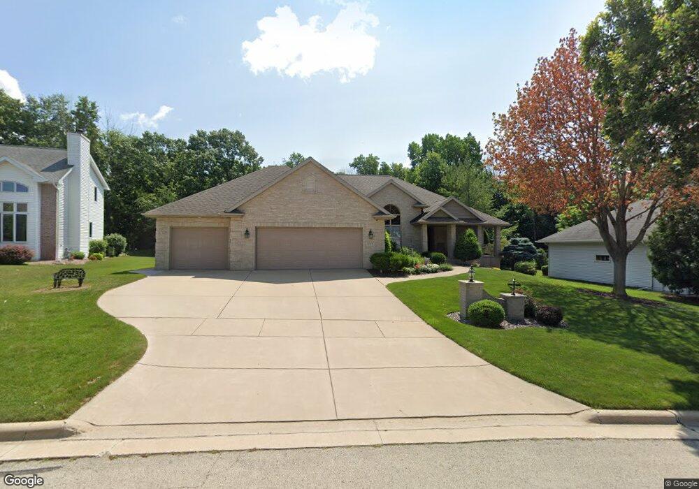
1229 Gail Dr Green Bay, WI 54311
Wilder Park NeighborhoodEstimated Value: $443,000 - $526,000
3
Beds
3
Baths
2,338
Sq Ft
$209/Sq Ft
Est. Value
About This Home
This home is located at 1229 Gail Dr, Green Bay, WI 54311 and is currently estimated at $488,153, approximately $208 per square foot. 1229 Gail Dr is a home located in Brown County with nearby schools including Wilder Elementary School, Edison Middle School, and Preble High School.
Ownership History
Date
Name
Owned For
Owner Type
Purchase Details
Closed on
Oct 4, 2005
Sold by
Boucher Linus J and Boucher Rosemary L
Bought by
Running David J and Running Rita K
Current Estimated Value
Home Financials for this Owner
Home Financials are based on the most recent Mortgage that was taken out on this home.
Original Mortgage
$249,600
Outstanding Balance
$129,276
Interest Rate
5.25%
Mortgage Type
Fannie Mae Freddie Mac
Estimated Equity
$358,877
Create a Home Valuation Report for This Property
The Home Valuation Report is an in-depth analysis detailing your home's value as well as a comparison with similar homes in the area
Home Values in the Area
Average Home Value in this Area
Purchase History
| Date | Buyer | Sale Price | Title Company |
|---|---|---|---|
| Running David J | $312,000 | Evans Title |
Source: Public Records
Mortgage History
| Date | Status | Borrower | Loan Amount |
|---|---|---|---|
| Open | Running David J | $249,600 |
Source: Public Records
Tax History Compared to Growth
Tax History
| Year | Tax Paid | Tax Assessment Tax Assessment Total Assessment is a certain percentage of the fair market value that is determined by local assessors to be the total taxable value of land and additions on the property. | Land | Improvement |
|---|---|---|---|---|
| 2024 | $7,036 | $367,900 | $45,700 | $322,200 |
| 2023 | $6,764 | $367,900 | $45,700 | $322,200 |
| 2022 | $6,582 | $367,900 | $45,700 | $322,200 |
| 2021 | $6,473 | $273,400 | $48,700 | $224,700 |
| 2020 | $6,492 | $273,400 | $48,700 | $224,700 |
| 2019 | $6,315 | $273,400 | $48,700 | $224,700 |
| 2018 | $6,153 | $273,400 | $48,700 | $224,700 |
| 2017 | $6,041 | $273,400 | $48,700 | $224,700 |
| 2016 | $5,953 | $273,400 | $48,700 | $224,700 |
| 2015 | $6,027 | $273,400 | $48,700 | $224,700 |
| 2014 | $6,277 | $273,400 | $48,700 | $224,700 |
| 2013 | $6,277 | $273,400 | $48,700 | $224,700 |
Source: Public Records
Map
Nearby Homes
- 953 Hilly Haven Ct
- 1015 Aphrodite Rd
- 856 Alpine Dr
- 2856 Sleepy Hollow Dr
- 2722 Finger Rd
- 2615 Finger Rd Unit 2617
- 0 Lowell Dr
- 2400 Ruffed Ct
- 537 Alpine Dr
- 1563 Diamond Ct
- 3110 Lazy Oak Ct
- 3114 Lazy Oak Ct
- 2756 Continental Dr
- 3154 Lazy Oak Ct
- 3161 Lazy Oak Ct
- 2570 Edgewood Ln
- 3109 Lazy Oak Ct
- 3157 Lazy Oak Ct
- 3113 Lazy Oak Ct
- 448 Harvest Rd