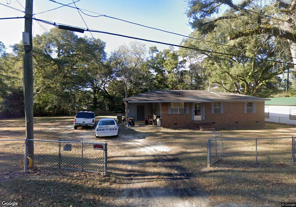
1229 Garland St Bainbridge, GA 39817
Estimated Value: $67,000 - $111,000
Studio
1
Bath
1,050
Sq Ft
$77/Sq Ft
Est. Value
About This Home
This home is located at 1229 Garland St, Bainbridge, GA 39817 and is currently estimated at $80,686, approximately $76 per square foot. 1229 Garland St is a home located in Decatur County with nearby schools including Bainbridge High School and Grace Christian Academy.
Ownership History
Date
Name
Owned For
Owner Type
Purchase Details
Closed on
Jan 14, 2005
Sold by
Harris Brenda J
Bought by
Harris Timothy
Current Estimated Value
Create a Home Valuation Report for This Property
The Home Valuation Report is an in-depth analysis detailing your home's value as well as a comparison with similar homes in the area
Purchase History
We collect this data history from publicly available records. To have your information removed, we recommend requesting removal directly through your county’s website.
| Date | Buyer | Sale Price | Title Company |
|---|---|---|---|
| Harris Timothy | -- | -- |
Source: Public Records
Tax History
| Year | Tax Paid | Tax Assessment Tax Assessment Total Assessment is a certain percentage of the fair market value that is determined by local assessors to be the total taxable value of land and additions on the property. | Land | Improvement |
|---|---|---|---|---|
| 2025 | $635 | $29,926 | $1,500 | $28,426 |
| 2024 | $613 | $25,700 | $1,500 | $24,200 |
| 2023 | $810 | $25,700 | $1,500 | $24,200 |
| 2022 | $793 | $25,700 | $1,500 | $24,200 |
| 2021 | $757 | $23,918 | $1,500 | $22,418 |
| 2020 | $741 | $22,140 | $1,500 | $20,640 |
| 2019 | $728 | $20,940 | $1,500 | $19,440 |
| 2018 | $719 | $20,940 | $1,500 | $19,440 |
| 2017 | $647 | $18,510 | $1,500 | $17,010 |
| 2016 | $647 | $18,510 | $1,500 | $17,010 |
| 2015 | $666 | $18,510 | $1,500 | $17,010 |
| 2014 | $617 | $18,510 | $1,500 | $17,010 |
| 2013 | -- | $18,510 | $1,500 | $17,010 |
Source: Public Records
Map
Nearby Homes
- 1231 Garland St
- 0 Redwine Dr
- 936 Cooper St
- 000 E River Rd
- 1503 Smart St
- 1302 Majestic Ave
- Lot 7 Easy Dr
- 1606 Hemlock St
- 627 Planter St
- 1406 Loblollty Ln
- 1102 E Water St
- 1304 Jeffery Ln
- 1204 E Water St
- 1702 Vada Rd
- 110 S Hall St
- Dell Rd
- 640 E Shotwell St
- 306 S Boulevard Dr
- 401 S Collier St
- 925 E Evans St
- 1225 Garland St
- 1237 Garland St
- 1230 Oak Circle Dr
- 1228 Oak Circle Dr
- 1228 Garland St
- 1230 Garland St
- 1232 Oak Circle Dr
- 1234 Oak Circle Dr
- 1226 Garland St
- 1236 Oak Circle Dr
- 1226 Oak Circle Dr
- 1231 Oak Circle Dr
- 1225 E River Rd
- 1227 E River Rd
- 1223 E River Rd
- 807 Poplar Ave
- 1239 Oak Circle Dr
- 809 Poplar Ave
- 1209 E River Rd
- 1227 Oak Circle Dr
Your Personal Tour Guide
Ask me questions while you tour the home.