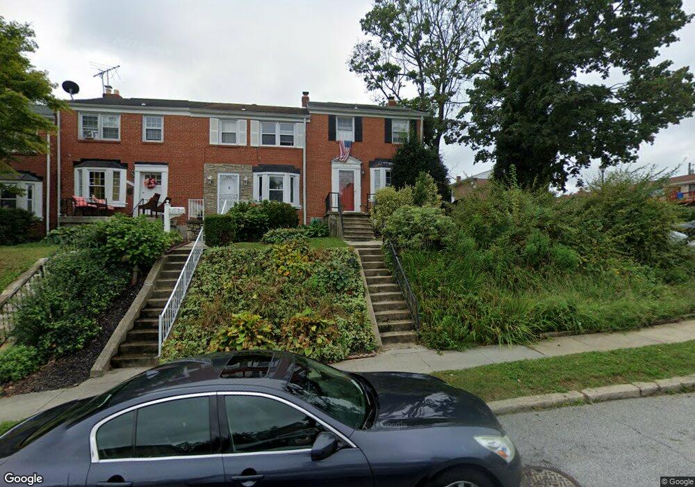
1229 Limit Ave Baltimore, MD 21239
Idlewood NeighborhoodEstimated Value: $171,654 - $250,000
Studio
2
Baths
1,008
Sq Ft
$209/Sq Ft
Est. Value
About This Home
This home is located at 1229 Limit Ave, Baltimore, MD 21239 and is currently estimated at $210,827, approximately $209 per square foot. 1229 Limit Ave is a home located in Baltimore City with nearby schools including Leith Walk Elementary School, Booker T. Washington Middle School, and Paul Laurence Dunbar High School.
Ownership History
Date
Name
Owned For
Owner Type
Purchase Details
Closed on
Apr 25, 1994
Sold by
Clute P G
Bought by
Hanna Patrick C
Current Estimated Value
Home Financials for this Owner
Home Financials are based on the most recent Mortgage that was taken out on this home.
Original Mortgage
$72,950
Interest Rate
7.6%
Create a Home Valuation Report for This Property
The Home Valuation Report is an in-depth analysis detailing your home's value as well as a comparison with similar homes in the area
Home Values in the Area
Average Home Value in this Area
Purchase History
| Date | Buyer | Sale Price | Title Company |
|---|---|---|---|
| Hanna Patrick C | $72,500 | -- |
Source: Public Records
Mortgage History
| Date | Status | Borrower | Loan Amount |
|---|---|---|---|
| Closed | Hanna Patrick C | $72,950 | |
| Closed | Hanna Patrick C | $5,000 |
Source: Public Records
Tax History
| Year | Tax Paid | Tax Assessment Tax Assessment Total Assessment is a certain percentage of the fair market value that is determined by local assessors to be the total taxable value of land and additions on the property. | Land | Improvement |
|---|---|---|---|---|
| 2025 | $2,619 | $132,633 | -- | -- |
| 2024 | $2,619 | $121,600 | $30,000 | $91,600 |
| 2023 | $2,582 | $120,333 | $0 | $0 |
| 2022 | $2,556 | $119,067 | $0 | $0 |
| 2021 | $2,780 | $117,800 | $30,000 | $87,800 |
| 2020 | $2,436 | $113,767 | $0 | $0 |
| 2019 | $2,329 | $109,733 | $0 | $0 |
| 2018 | $2,305 | $105,700 | $30,000 | $75,700 |
| 2017 | $2,330 | $105,700 | $0 | $0 |
| 2016 | $2,179 | $105,700 | $0 | $0 |
| 2015 | $2,179 | $114,000 | $0 | $0 |
| 2014 | $2,179 | $114,000 | $0 | $0 |
Source: Public Records
Map
Nearby Homes
- 1117 Walker Ave
- 1322 Limit Ave
- 1206 Cedarcroft Rd
- 6225 Chinquapin Pkwy
- 1101 Gittings Ave
- 1283 Cedarcroft Rd
- 6138 Dunroming Rd
- 1400 Walker Ave
- 806 Forest Rd
- 722 Anneslie Rd
- 1432 Walker Ave
- 706 Anneslie Rd
- 6750 Glenkirk Rd
- 1371 E Northern Pkwy
- 6702 Queens Ferry Rd
- 1123 Elbank Ave
- 5933 Leith Walk
- 633 Anneslie Rd
- 1126 Gleneagle Rd
- 625 Dunkirk Rd
- 1231 Limit Ave
- 1233 Limit Ave
- 1235 Limit Ave
- 1237 Limit Ave
- 1239 Limit Ave
- 1232 Limit Ave
- 1232 Limit Ave
- 1214 Walker Ave
- 1234 Limit Ave
- 1222 Walker Ave
- 1224 Walker Ave
- 1241 Limit Ave
- 1226 Walker Ave
- 1228 Walker Ave
- 1230 Walker Ave
- 1243 Limit Ave
- 1236 Limit Ave
- 1245 Limit Ave
- 1214 Limit Ave
- 1232 Walker Ave
Your Personal Tour Guide
Ask me questions while you tour the home.