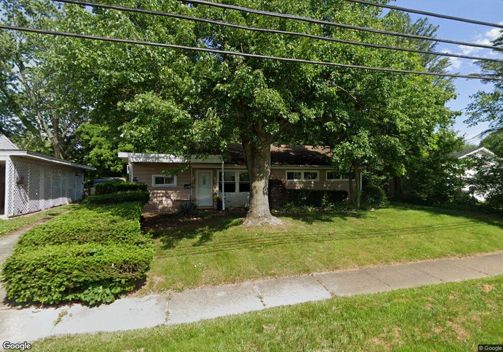
1229 Nome Ave Akron, OH 44320
West Akron NeighborhoodEstimated Value: $96,684 - $118,000
3
Beds
1
Bath
1,248
Sq Ft
$86/Sq Ft
Est. Value
About This Home
This home is located at 1229 Nome Ave, Akron, OH 44320 and is currently estimated at $107,671, approximately $86 per square foot. 1229 Nome Ave is a home located in Summit County with nearby schools including Summit Academy School, Emmanuel Christian Academy, and Julie Billiart School Akron.
Ownership History
Date
Name
Owned For
Owner Type
Purchase Details
Closed on
Feb 8, 2007
Sold by
Estate Of Alva Jean Parms
Bought by
Parms Kenneth R and Parms Sharon L
Current Estimated Value
Purchase Details
Closed on
Oct 27, 2006
Sold by
Estate Of Clarence Parms
Bought by
Parms Kenneth R and Parms Sharon L
Purchase Details
Closed on
Sep 15, 2006
Sold by
Estate Of Clarence Parms
Bought by
Parms Alva Jean
Create a Home Valuation Report for This Property
The Home Valuation Report is an in-depth analysis detailing your home's value as well as a comparison with similar homes in the area
Home Values in the Area
Average Home Value in this Area
Purchase History
| Date | Buyer | Sale Price | Title Company |
|---|---|---|---|
| Parms Kenneth R | -- | None Available | |
| Parms Kenneth R | -- | Attorney | |
| Parms Alva Jean | -- | None Available |
Source: Public Records
Tax History Compared to Growth
Tax History
| Year | Tax Paid | Tax Assessment Tax Assessment Total Assessment is a certain percentage of the fair market value that is determined by local assessors to be the total taxable value of land and additions on the property. | Land | Improvement |
|---|---|---|---|---|
| 2025 | $2,343 | $25,120 | $4,883 | $20,237 |
| 2024 | $1,417 | $25,120 | $4,883 | $20,237 |
| 2023 | $2,343 | $25,120 | $4,883 | $20,237 |
| 2022 | $1,029 | $14,778 | $2,874 | $11,904 |
| 2021 | $1,030 | $14,778 | $2,874 | $11,904 |
| 2020 | $1,015 | $14,770 | $2,870 | $11,900 |
| 2019 | $1,345 | $18,100 | $4,240 | $13,860 |
| 2018 | $1,327 | $18,100 | $4,240 | $13,860 |
| 2017 | $1,348 | $18,100 | $4,240 | $13,860 |
| 2016 | $1,349 | $18,100 | $4,240 | $13,860 |
| 2015 | $1,348 | $18,100 | $4,240 | $13,860 |
| 2014 | $1,338 | $18,100 | $4,240 | $13,860 |
| 2013 | $1,431 | $19,860 | $4,240 | $15,620 |
Source: Public Records
Map
Nearby Homes
- 1179 Seward Ave
- 1155 Frederick Blvd
- 1276 Frederick Blvd
- 1074 Hartford Ave
- 1024 Roslyn Ave
- 1265 Greenwood Ave
- 1372 Frederick Blvd
- 1229 Pickford Ave
- 1158 Hardesty Blvd
- 1042 Frederick Blvd
- 0 Seward Ave
- 1013 Hardesty Blvd
- VL Pickford Ave
- 0 Pickford Ave
- 1327 Crestview Ave
- 1349 Crestview Ave
- 888 Greenwood Ave
- 1043 Slosson St
- 1088 Packard Dr
- 922 Winton Ave
- 1219 Nome Ave
- 1233 1235 Nome Ave
- 1233 Nome Ave Unit 1235
- 1288 Stoner St
- 1224 1226 Nome Ave
- 1224 Nome Ave Unit 1226
- 1230 Nome Ave
- 1226 Nome Ave
- 1222 Nome Ave
- 1274 Stoner St
- 1216 Nome Ave Unit 1218
- 1238 Nome Ave
- 1238 Nome Ave
- 1238 Nome Ave
- 1238 Nome Ave
- 1223 Seward Ave
- 1227 Seward Ave Unit 1229
- 1233 Seward Ave
- 1325 1341 Thurston St
- 1325 Thurston St Unit 30