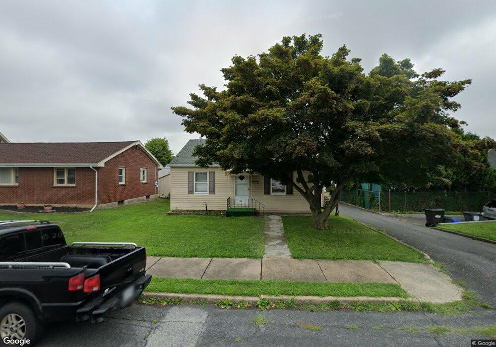
1229 Parson St Bethlehem, PA 18017
Northeast Bethlehem NeighborhoodEstimated Value: $237,000 - $255,000
2
Beds
1
Bath
728
Sq Ft
$332/Sq Ft
Est. Value
About This Home
This home is located at 1229 Parson St, Bethlehem, PA 18017 and is currently estimated at $242,008, approximately $332 per square foot. 1229 Parson St is a home located in Northampton County with nearby schools including Spring Garden Elementary School, Northeast Middle School, and Liberty High School.
Ownership History
Date
Name
Owned For
Owner Type
Purchase Details
Closed on
Feb 16, 2007
Sold by
Klinger Nevin J
Bought by
Vukas Rodjka
Current Estimated Value
Home Financials for this Owner
Home Financials are based on the most recent Mortgage that was taken out on this home.
Original Mortgage
$144,900
Outstanding Balance
$87,941
Interest Rate
6.4%
Mortgage Type
New Conventional
Estimated Equity
$154,067
Purchase Details
Closed on
Feb 1, 1995
Bought by
Klinger Nevin J
Create a Home Valuation Report for This Property
The Home Valuation Report is an in-depth analysis detailing your home's value as well as a comparison with similar homes in the area
Home Values in the Area
Average Home Value in this Area
Purchase History
| Date | Buyer | Sale Price | Title Company |
|---|---|---|---|
| Vukas Rodjka | $144,900 | -- | |
| Klinger Nevin J | $81,200 | -- |
Source: Public Records
Mortgage History
| Date | Status | Borrower | Loan Amount |
|---|---|---|---|
| Open | Vukas Rodjka | $144,900 |
Source: Public Records
Tax History Compared to Growth
Tax History
| Year | Tax Paid | Tax Assessment Tax Assessment Total Assessment is a certain percentage of the fair market value that is determined by local assessors to be the total taxable value of land and additions on the property. | Land | Improvement |
|---|---|---|---|---|
| 2025 | $438 | $40,600 | $17,400 | $23,200 |
| 2024 | $3,589 | $40,600 | $17,400 | $23,200 |
| 2023 | $3,589 | $40,600 | $17,400 | $23,200 |
| 2022 | $3,561 | $40,600 | $17,400 | $23,200 |
| 2021 | $3,537 | $40,600 | $17,400 | $23,200 |
| 2020 | $3,503 | $40,600 | $17,400 | $23,200 |
| 2019 | $3,491 | $40,600 | $17,400 | $23,200 |
| 2018 | $3,406 | $40,600 | $17,400 | $23,200 |
| 2017 | $3,366 | $40,600 | $17,400 | $23,200 |
| 2016 | -- | $40,600 | $17,400 | $23,200 |
| 2015 | -- | $40,600 | $17,400 | $23,200 |
| 2014 | -- | $40,600 | $17,400 | $23,200 |
Source: Public Records
Map
Nearby Homes
- 2155 Lafayette Ave
- 1221 Parson St
- 2029 Michael St
- 1055 Decatur St
- 2011 Mary St
- 2134 Livingston St
- 1852 Lincoln St
- 2213 Montgomery St
- 1867 Major St
- 1710 North Blvd
- 2443 High Point Dr
- 2820 Keystone St
- 2534 Linden St
- 1525 Lincoln St
- 1746 Callone Ave
- 2328 Linden St
- 2911 Jefferson St
- 1881 Levering Place
- 1521 Fleming St
- 1740 Butztown Rd
- 1225 Parson St
- 2161 Lafayette Ave
- 1230 South Blvd
- 2150 Lexington Ave
- 1222 South Blvd
- 1236 South Blvd
- 1215 Parson St
- 2149 Lafayette Ave
- 1218 South Blvd
- 1240 South Blvd
- 2146 Lexington Ave
- 2139 Lafayette Ave
- 1212 South Blvd
- 2138 Lexington Ave
- 2149 Lexington Ave
- 2160 Lafayette Ave
- 2176 West Blvd
- 1300 South Blvd
- 2152 Lafayette Ave
- 2135 Lafayette Ave