1229 Summit Rd Towanda, PA 18848
Estimated Value: $260,000 - $473,000
3
Beds
4
Baths
--
Sq Ft
2
Acres Lot
About This Home
This home is located at 1229 Summit Rd, Towanda, PA 18848 and is currently estimated at $409,967. 1229 Summit Rd is a home located in Bradford County with nearby schools including Morrow Elementary School, Towanda Area Elementary School, and Towanda Area Junior/Senior High School.
Ownership History
Date
Name
Owned For
Owner Type
Purchase Details
Closed on
May 5, 2022
Sold by
Rider Clyde J and Rider Jody J
Bought by
Ramos Saturnino
Current Estimated Value
Home Financials for this Owner
Home Financials are based on the most recent Mortgage that was taken out on this home.
Original Mortgage
$346,500
Interest Rate
5.23%
Mortgage Type
New Conventional
Create a Home Valuation Report for This Property
The Home Valuation Report is an in-depth analysis detailing your home's value as well as a comparison with similar homes in the area
Purchase History
We collect this data history from publicly available records. To have your information removed, we recommend requesting removal directly through your county’s website.
| Date | Buyer | Sale Price | Title Company |
|---|---|---|---|
| Ramos Saturnino | $395,000 | Griffin Dawsey Depaola & Jones |
Source: Public Records
Mortgage History
We collect this data history from publicly available records. To have your information removed, we recommend requesting removal directly through your county’s website.
| Date | Status | Borrower | Loan Amount |
|---|---|---|---|
| Previous Owner | Ramos Saturnino | $346,500 |
Source: Public Records
Tax History
| Year | Tax Paid | Tax Assessment Tax Assessment Total Assessment is a certain percentage of the fair market value that is determined by local assessors to be the total taxable value of land and additions on the property. | Land | Improvement |
|---|---|---|---|---|
| 2026 | $4,717 | $69,150 | $0 | $0 |
| 2025 | $4,570 | $69,150 | $0 | $0 |
| 2024 | $4,536 | $69,150 | $0 | $0 |
| 2023 | $4,536 | $69,150 | $0 | $0 |
| 2022 | $4,466 | $69,150 | $0 | $0 |
| 2021 | $4,466 | $69,150 | $0 | $0 |
| 2020 | $4,466 | $69,150 | $0 | $0 |
| 2019 | $4,362 | $69,150 | $0 | $0 |
| 2018 | $4,056 | $69,150 | $0 | $0 |
| 2017 | $4,154 | $69,150 | $0 | $0 |
| 2016 | -- | $69,150 | $0 | $0 |
| 2015 | -- | $69,150 | $0 | $0 |
| 2014 | $2,575 | $69,150 | $0 | $0 |
Source: Public Records
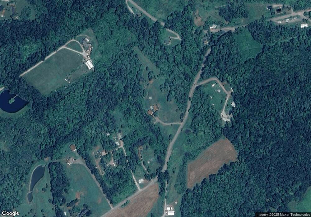
Map
Nearby Homes
- 1229 Summit Rd
- 1107 Summit Rd
- 98 Benjamin Ln
- 1044 Pine Grove Rd
- 1025 Summit Rd
- 1134 Summit Rd
- 971 Summit Rd
- 1246 Pine Grove Rd
- 1195 Pine Grove Rd
- 907 Summit Rd
- 22 Stonewall Ln
- 635 Summit Rd
- 147 Turkey Ln
- 258 Stagecoach Ln
- 856 Summit Rd
- 830 Summit Rd
- 540 Tomahawk Rd
- 522 Tomahawk Rd
- 92 Stagecoach Ln
- 478 Tomahawk Rd
Your Personal Tour Guide
Ask me questions while you tour the home.