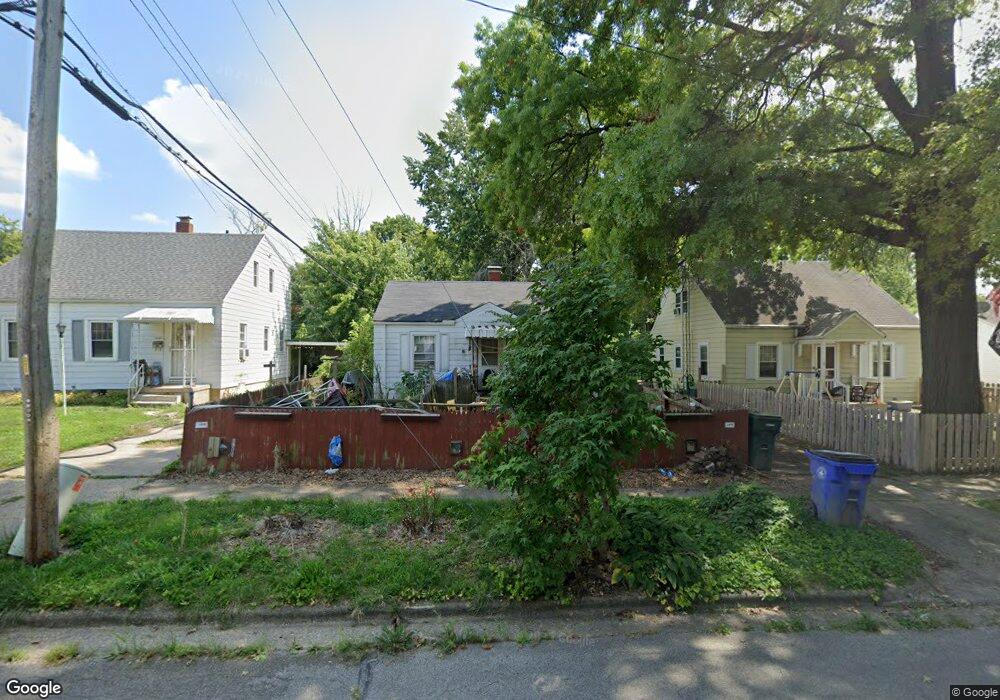
1229 W Marietta St Decatur, IL 62522
Garfield Park NeighborhoodEstimated Value: $38,519 - $55,000
2
Beds
1
Bath
1,456
Sq Ft
$31/Sq Ft
Est. Value
About This Home
This home is located at 1229 W Marietta St, Decatur, IL 62522 and is currently estimated at $45,380, approximately $31 per square foot. 1229 W Marietta St is a home located in Macon County with nearby schools including Stephen Decatur Middle School, St. Patrick School, and Teen Challenge-Home For Girls.
Ownership History
Date
Name
Owned For
Owner Type
Purchase Details
Closed on
Mar 24, 2005
Sold by
Oneill Mary C and Bernard Gerard A
Bought by
Bernard Beradine M
Current Estimated Value
Home Financials for this Owner
Home Financials are based on the most recent Mortgage that was taken out on this home.
Original Mortgage
$27,570
Outstanding Balance
$14,227
Interest Rate
5.88%
Mortgage Type
New Conventional
Estimated Equity
$31,153
Create a Home Valuation Report for This Property
The Home Valuation Report is an in-depth analysis detailing your home's value as well as a comparison with similar homes in the area
Home Values in the Area
Average Home Value in this Area
Purchase History
| Date | Buyer | Sale Price | Title Company |
|---|---|---|---|
| Bernard Beradine M | $29,000 | None Available |
Source: Public Records
Mortgage History
| Date | Status | Borrower | Loan Amount |
|---|---|---|---|
| Open | Bernard Beradine M | $27,570 |
Source: Public Records
Tax History Compared to Growth
Tax History
| Year | Tax Paid | Tax Assessment Tax Assessment Total Assessment is a certain percentage of the fair market value that is determined by local assessors to be the total taxable value of land and additions on the property. | Land | Improvement |
|---|---|---|---|---|
| 2024 | $564 | $10,064 | $437 | $9,627 |
| 2023 | $580 | $9,708 | $422 | $9,286 |
| 2022 | $596 | $8,897 | $390 | $8,507 |
| 2021 | $599 | $8,310 | $365 | $7,945 |
| 2020 | $620 | $7,925 | $349 | $7,576 |
| 2019 | $620 | $7,925 | $349 | $7,576 |
| 2018 | $612 | $8,631 | $186 | $8,445 |
| 2017 | $610 | $8,861 | $191 | $8,670 |
| 2016 | $616 | $8,951 | $193 | $8,758 |
| 2015 | $596 | $8,793 | $190 | $8,603 |
| 2014 | $559 | $10,093 | $1,187 | $8,906 |
| 2013 | $556 | $10,472 | $1,232 | $9,240 |
Source: Public Records
Map
Nearby Homes
- 917 N Wilder Ave
- 1451 W Marietta St
- 1319 W Waggoner St
- 1065 W Green St
- 1535 N Mcclellan Ave
- 1645 W Center St
- 1530 W Cushing St
- 837 W Grand Ave
- 1675 W Center St
- 1415 N Dennis Ave
- 933 W Division St
- 266 Cobb Ave
- 958 W William St
- 925 W Olive St
- 1706 W Division St
- 875 N Monroe St
- 1653 N Maple Ave
- 1524 N Summit Ave
- 1545 N Monroe St
- 1625 W Garfield Ave
- 1221 W Marietta St
- 1237 W Marietta St
- 1213 W Marietta St
- 1245 W Marietta St
- 1220 W Marietta St
- 1205 W Marietta St
- 1244 W Marietta St
- 1240 W Marietta St
- 1242 W Marietta St
- 978 N Wilder Ave
- 1204 W Marietta St
- 976 N Wilder Ave
- 981 N University Ave
- 977 N University Ave
- 1005 N University Ave
- 997 N Wilder Ave
- 989 N Wilder Ave
- 1028 N Wilder Ave
- 981 N Wilder Ave
- 962 N Wilder Ave