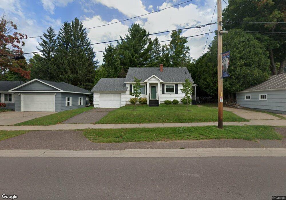
1229 W Quincy St Hancock, MI 49930
Estimated Value: $177,009 - $213,000
3
Beds
1
Bath
994
Sq Ft
$191/Sq Ft
Est. Value
About This Home
This home is located at 1229 W Quincy St, Hancock, MI 49930 and is currently estimated at $190,336, approximately $191 per square foot. 1229 W Quincy St is a home located in Houghton County with nearby schools including Barkell Elementary School and Hancock Middle/High School.
Ownership History
Date
Name
Owned For
Owner Type
Purchase Details
Closed on
Apr 29, 2021
Sold by
Pietila Michael J and Pietila Kathleen S
Bought by
Storm Jay
Current Estimated Value
Home Financials for this Owner
Home Financials are based on the most recent Mortgage that was taken out on this home.
Original Mortgage
$117,450
Outstanding Balance
$106,373
Interest Rate
3.06%
Mortgage Type
Construction
Estimated Equity
$83,963
Purchase Details
Closed on
Aug 10, 2001
Sold by
Kotajarvi James and Kotajarvi Gerald
Bought by
Pietila Michael and Pietila Kathleen
Create a Home Valuation Report for This Property
The Home Valuation Report is an in-depth analysis detailing your home's value as well as a comparison with similar homes in the area
Home Values in the Area
Average Home Value in this Area
Purchase History
| Date | Buyer | Sale Price | Title Company |
|---|---|---|---|
| Storm Jay | $130,500 | Keweenaw Title Agcy | |
| Pietila Michael | $65,000 | -- |
Source: Public Records
Mortgage History
| Date | Status | Borrower | Loan Amount |
|---|---|---|---|
| Open | Storm Jay | $117,450 |
Source: Public Records
Tax History Compared to Growth
Tax History
| Year | Tax Paid | Tax Assessment Tax Assessment Total Assessment is a certain percentage of the fair market value that is determined by local assessors to be the total taxable value of land and additions on the property. | Land | Improvement |
|---|---|---|---|---|
| 2025 | $3,737 | $75,716 | $0 | $0 |
| 2024 | $3,502 | $69,930 | $0 | $0 |
| 2023 | $3,362 | $62,636 | $0 | $0 |
| 2022 | $3,582 | $56,373 | $0 | $0 |
| 2021 | $2,761 | $50,115 | $0 | $0 |
| 2020 | $2,726 | $47,043 | $0 | $0 |
| 2019 | $2,691 | $43,222 | $0 | $0 |
| 2018 | $2,572 | $43,319 | $0 | $0 |
| 2017 | $2,485 | $45,050 | $0 | $0 |
| 2016 | -- | $51,923 | $0 | $0 |
| 2015 | -- | $51,923 | $0 | $0 |
| 2014 | -- | $49,926 | $0 | $0 |
Source: Public Records
Map
Nearby Homes
- 1401 Anthony St
- 943 Lynn St
- 1115 Summit St
- Unit 4 Greenway Dr Unit 4
- TBD Green Acres Rd
- TBD Off Cedar St
- Unit 6 Greenway Dr
- TBD A W Sharon Ave
- TBD Main St
- TBD W Sharon Ave
- 1015 Ethel Ave
- 1607 W Quincy St
- TBD A B C Navy Stream
- 1035 Ethel Ave
- 861 Summit St
- 803 Elm St
- Lot 49 Crestwood Dr
- 836 Summit St
- Lot 54 Maplewood Glade
- Lot 53 Maplewood Glade
- 1225 W Quincy St
- 1231 W Quincy St
- 1230 Minnesota St
- 1230 W Quincy St
- 1234 Minnesota St
- 1232 W Quincy St Unit 6 & 7
- 1232 W Quincy St
- 1236 Minnesota St
- 1228 Minnesota St
- 1217 W Quincy St
- 1220 W Quincy St
- 203 Birch St
- 1239 Jasberg St
- 1231 Minnesota St
- 1225 Minnesota St
- 1226 Minnesota St
- 1301 W Quincy St
- 1223 Minnesota St
- 1300 W Atlantic St
- 1236 Jasberg St