1229 Warren Wagon Rd McCall, ID 83638
Estimated Value: $2,239,000 - $4,496,821
5
Beds
5
Baths
3,998
Sq Ft
$842/Sq Ft
Est. Value
About This Home
This home is located at 1229 Warren Wagon Rd, McCall, ID 83638 and is currently estimated at $3,367,911, approximately $842 per square foot. 1229 Warren Wagon Rd is a home located in Valley County with nearby schools including McCall-Donnelly High School, Mountain Life Education, and McCall Adventist Christian School.
Ownership History
Date
Name
Owned For
Owner Type
Purchase Details
Closed on
Oct 21, 2015
Sold by
Peda Investments Lp
Bought by
Avest Commercial Properties Llc
Current Estimated Value
Purchase Details
Closed on
Apr 10, 2006
Sold by
Markwardt Mary F
Bought by
Roberts Connie P
Home Financials for this Owner
Home Financials are based on the most recent Mortgage that was taken out on this home.
Original Mortgage
$950,000
Interest Rate
6.25%
Mortgage Type
Adjustable Rate Mortgage/ARM
Create a Home Valuation Report for This Property
The Home Valuation Report is an in-depth analysis detailing your home's value as well as a comparison with similar homes in the area
Home Values in the Area
Average Home Value in this Area
Purchase History
| Date | Buyer | Sale Price | Title Company |
|---|---|---|---|
| Avest Commercial Properties Llc | -- | Amerititle | |
| Roberts Connie P | -- | -- |
Source: Public Records
Mortgage History
| Date | Status | Borrower | Loan Amount |
|---|---|---|---|
| Previous Owner | Roberts Connie P | $950,000 |
Source: Public Records
Tax History Compared to Growth
Tax History
| Year | Tax Paid | Tax Assessment Tax Assessment Total Assessment is a certain percentage of the fair market value that is determined by local assessors to be the total taxable value of land and additions on the property. | Land | Improvement |
|---|---|---|---|---|
| 2025 | $26,909 | $6,841,505 | $3,597,925 | $3,243,580 |
| 2023 | $26,909 | $5,571,218 | $2,199,330 | $3,371,888 |
| 2022 | $23,885 | $4,887,472 | $2,029,501 | $2,857,971 |
| 2021 | $22,357 | $3,074,165 | $1,489,929 | $1,584,236 |
| 2020 | $21,616 | $2,620,443 | $1,350,069 | $1,270,374 |
| 2019 | $21,718 | $2,410,494 | $1,270,149 | $1,140,345 |
| 2018 | $22,991 | $2,326,372 | $1,257,172 | $1,069,200 |
| 2017 | $22,886 | $2,133,589 | $1,155,940 | $977,649 |
| 2016 | $23,524 | $2,147,695 | $1,155,940 | $991,755 |
| 2015 | $18,263 | $2,177,980 | $0 | $0 |
| 2013 | -- | $2,002,286 | $0 | $0 |
Source: Public Records
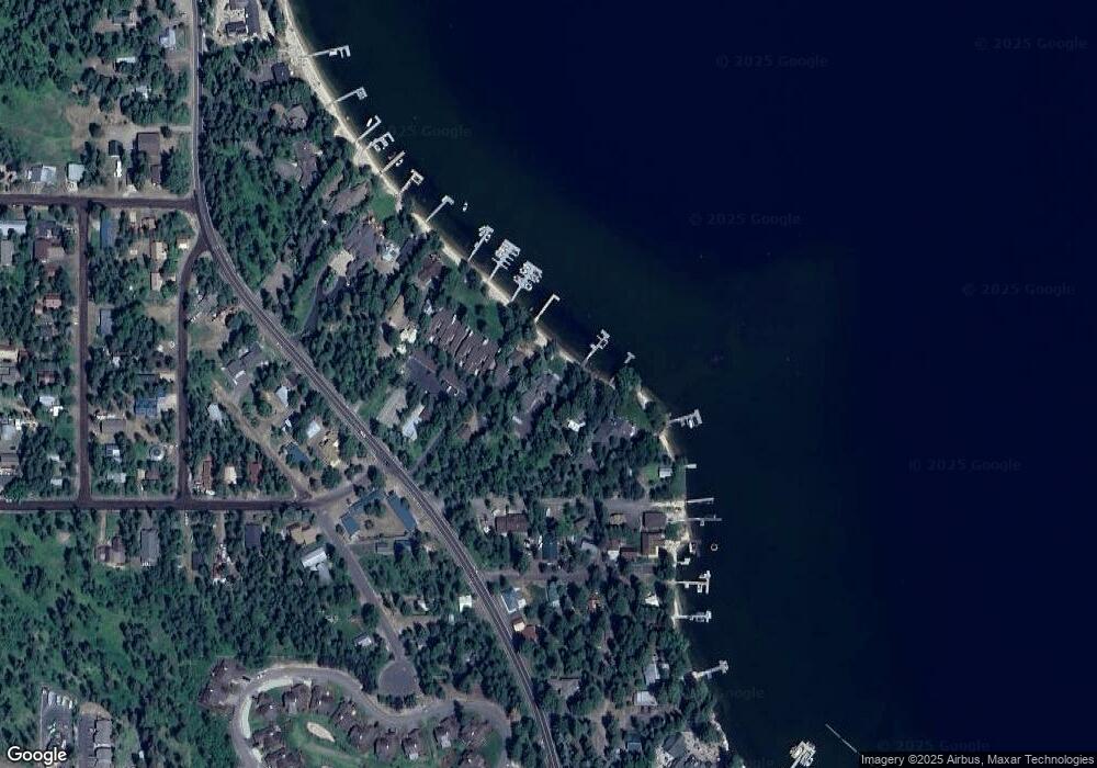
Map
Nearby Homes
- 1132 Shellworth Cir
- 1124 Shellworth Cir
- 1100 Shellworth Cir
- 808 Hayes St
- 13321 Idaho 55
- 1002 Rowland St
- 1002 Rowland St Unit 1-12
- 508 River St
- 508 Rowland St
- 306 Whitetail Dr
- 357 Whitetail Dr
- 1207 Zachary Rd
- 1105 Knowles Rd
- 136 Whitetail Dr
- 790 Idaho 55
- TBD Boydstun St
- 24640 Warren Wagon Rd
- 301 Forest St
- 326 Sunshine Dr
- 1075 Club Rd
- 1299 Warren Wagon Rd
- 615 Hayes St
- 609 Hayes St
- 1301 Warren Wagon Rd Unit 1
- 1301 Warren Wagon Rd Unit 9
- 1301 Warren Wagon Rd
- 606 Hayes St
- 1252 Warren Wagon Rd
- 611 Whipkey St
- 602 Hayes St
- 609 Whipkey St
- 1303 Warren Wagon Rd
- 605-07 Whipkey St
- 601 Hayes St
- 607 Whipkey St
- 1250 Warren Wagon Rd
- 1219 Warren Wagon Rd
- 608 Whipkey St
- 600 Hayes St
- 605 Whipkey St