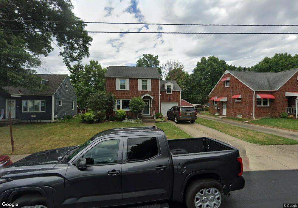
1229 Washington Blvd Louisville, OH 44641
Estimated Value: $138,927 - $163,000
3
Beds
1
Bath
1,308
Sq Ft
$117/Sq Ft
Est. Value
About This Home
This home is located at 1229 Washington Blvd, Louisville, OH 44641 and is currently estimated at $153,232, approximately $117 per square foot. 1229 Washington Blvd is a home located in Stark County with nearby schools including Louisville High School.
Ownership History
Date
Name
Owned For
Owner Type
Purchase Details
Closed on
May 23, 2023
Sold by
Weber Jerry D and Weber Deborah K
Bought by
Weber Jerry D and Weber Deborah K
Current Estimated Value
Purchase Details
Closed on
May 22, 1996
Sold by
Bozman Mark J
Bought by
Weber Jerry D and Harter Deborah
Home Financials for this Owner
Home Financials are based on the most recent Mortgage that was taken out on this home.
Original Mortgage
$75,500
Interest Rate
8.1%
Mortgage Type
New Conventional
Create a Home Valuation Report for This Property
The Home Valuation Report is an in-depth analysis detailing your home's value as well as a comparison with similar homes in the area
Home Values in the Area
Average Home Value in this Area
Purchase History
| Date | Buyer | Sale Price | Title Company |
|---|---|---|---|
| Weber Jerry D | -- | None Listed On Document | |
| Weber Jerry D | $84,000 | -- |
Source: Public Records
Mortgage History
| Date | Status | Borrower | Loan Amount |
|---|---|---|---|
| Previous Owner | Weber Jerry D | $75,500 |
Source: Public Records
Tax History Compared to Growth
Tax History
| Year | Tax Paid | Tax Assessment Tax Assessment Total Assessment is a certain percentage of the fair market value that is determined by local assessors to be the total taxable value of land and additions on the property. | Land | Improvement |
|---|---|---|---|---|
| 2025 | -- | $31,090 | $10,890 | $20,200 |
| 2024 | -- | $31,090 | $10,890 | $20,200 |
| 2023 | $1,190 | $27,660 | $8,230 | $19,430 |
| 2022 | $597 | $27,660 | $8,230 | $19,430 |
| 2021 | $1,198 | $27,660 | $8,230 | $19,430 |
| 2020 | $980 | $24,570 | $7,420 | $17,150 |
| 2019 | $984 | $26,920 | $7,420 | $19,500 |
| 2018 | $1,074 | $26,920 | $7,420 | $19,500 |
| 2017 | $939 | $22,690 | $5,920 | $16,770 |
| 2016 | $958 | $22,690 | $5,920 | $16,770 |
| 2015 | $961 | $22,690 | $5,920 | $16,770 |
| 2014 | $961 | $21,110 | $5,530 | $15,580 |
| 2013 | $484 | $21,110 | $5,530 | $15,580 |
Source: Public Records
Map
Nearby Homes
- 0 Michigan Blvd
- 308 Superior St
- 1170 Winding Ridge Ave
- 325 Lincoln Ave
- 520 S Silver St
- 641 S Nickelplate St
- 728 E Broad St
- 910 Crosswyck Cir
- 1715 High St
- 1812 E Broad St
- 2015 E Main St
- 203 Brookfield St
- 204 E Broad St
- 107 E Broad St
- 510 S Bauman Ct
- 428 Honeycrisp Dr NE
- 3047 Mcintosh Dr NE
- 432 Honeycrisp Dr NE
- 2962 Mcintosh Dr NE
- 2963 Mcintosh Dr NE
- 1303 Washington Blvd
- 1225 Washington Blvd
- 1309 Washington Blvd
- 1219 Washington Blvd
- 1313 Washington Blvd
- 1310 Michigan Blvd
- 1213 Washington Blvd
- 1214 Washington Blvd
- 1222 Washington Blvd
- 1209 Washington Blvd
- 418 N Nickelplate St
- 1208 Washington Blvd
- 401 Ohio Blvd
- 1304 Washington Blvd
- 1203 Washington Blvd
- 1206 Michigan Blvd
- 1320 Washington Blvd
- 1202 Washington Blvd
- 214 N Nickelplate St
- 1231 Michigan Blvd