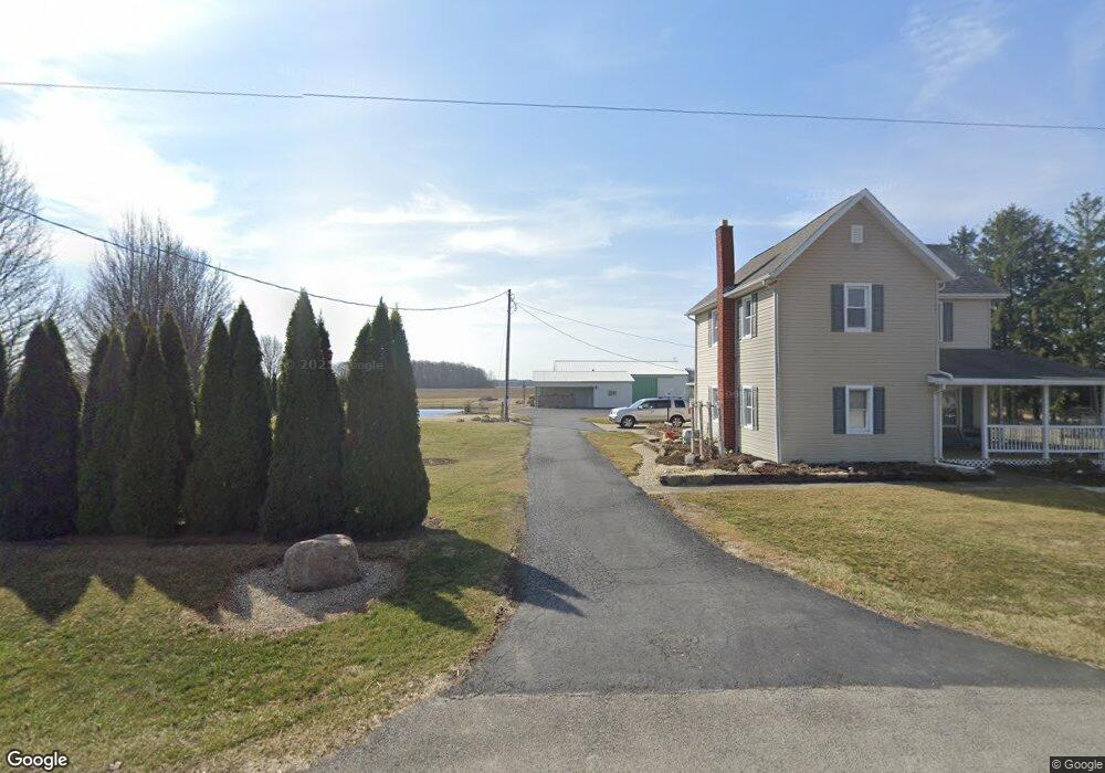
12295 Township Road 37 Findlay, OH 45840
Estimated Value: $244,000 - $384,000
3
Beds
1
Bath
1,720
Sq Ft
$174/Sq Ft
Est. Value
About This Home
This home is located at 12295 Township Road 37, Findlay, OH 45840 and is currently estimated at $298,722, approximately $173 per square foot. 12295 Township Road 37 is a home located in Hancock County with nearby schools including Arlington Local Elementary School and Arlington Local High School.
Ownership History
Date
Name
Owned For
Owner Type
Purchase Details
Closed on
Jun 8, 2021
Sold by
Wells David P
Bought by
Wells David P and Wells Patricia A
Current Estimated Value
Home Financials for this Owner
Home Financials are based on the most recent Mortgage that was taken out on this home.
Original Mortgage
$160,000
Interest Rate
2.9%
Mortgage Type
New Conventional
Purchase Details
Closed on
May 26, 2010
Sold by
Cramer Kenneth L
Bought by
Wells David P
Home Financials for this Owner
Home Financials are based on the most recent Mortgage that was taken out on this home.
Original Mortgage
$134,720
Interest Rate
5.14%
Mortgage Type
New Conventional
Create a Home Valuation Report for This Property
The Home Valuation Report is an in-depth analysis detailing your home's value as well as a comparison with similar homes in the area
Home Values in the Area
Average Home Value in this Area
Purchase History
| Date | Buyer | Sale Price | Title Company |
|---|---|---|---|
| Wells David P | -- | Golden Key Title Agency | |
| Wells David P | $168,400 | Mid Am Title Agency |
Source: Public Records
Mortgage History
| Date | Status | Borrower | Loan Amount |
|---|---|---|---|
| Previous Owner | Wells David P | $160,000 | |
| Previous Owner | Wells David P | $134,720 |
Source: Public Records
Tax History Compared to Growth
Tax History
| Year | Tax Paid | Tax Assessment Tax Assessment Total Assessment is a certain percentage of the fair market value that is determined by local assessors to be the total taxable value of land and additions on the property. | Land | Improvement |
|---|---|---|---|---|
| 2024 | $2,436 | $65,030 | $9,790 | $55,240 |
| 2023 | $2,422 | $65,030 | $9,790 | $55,240 |
| 2022 | $2,422 | $65,030 | $9,790 | $55,240 |
| 2021 | $1,213 | $42,530 | $9,720 | $32,810 |
| 2020 | $1,213 | $42,530 | $9,720 | $32,810 |
| 2019 | $1,179 | $42,530 | $9,720 | $32,810 |
| 2018 | $1,047 | $37,790 | $8,450 | $29,340 |
| 2017 | $1,045 | $37,790 | $8,450 | $29,340 |
| 2016 | $1,027 | $37,790 | $8,450 | $29,340 |
| 2015 | $1,155 | $42,890 | $8,450 | $34,440 |
| 2014 | $1,155 | $42,890 | $8,450 | $34,440 |
| 2012 | $1,366 | $47,560 | $8,450 | $39,110 |
Source: Public Records
Map
Nearby Homes
- 15055 County Road 26
- 12500 County Road 24
- 648 N Main St
- 0 Penrose Dr
- 3323 Western Ave
- 0 Township Road 77
- 3065 S Main St
- 11787 County Road 180
- 0 Township Rd Unit 77 207219
- 0 Powell Dr Lot 3 Unit 6091840
- 0 Viburnum Ct Unit 20243687
- 0 Viburnum Ct Unit 6121366
- 0 Virbunum Ct Unit 87 305267
- 309 Alisa Ln
- 219 E Main Cross St
- 0 W Main Cross St Unit 6119599
- 0 W Main Cross St Unit 6119602
- 0 W Main Cross St Unit 6119597
- 500 Blue Bonnet Dr
- 230 Union St
- 12185 Township Road 37
- 12392 Township Road 37
- 15029 U S 68
- 15081 State Route 68
- 15029 State Route 68
- 0 Township Rd 37
- 0 T R 37
- 14827 State Route 68
- 14827 S R 68
- 12589 Township Road 37
- 15134 State Route 68
- 12331 Township Road 40
- 13200 Township Road 37
- 14579 State Route 68
- 14557 State Route 68
- 12137 Township Road 40
- 12276 Township Road 40
- 12192 Township Road 40
- 12176 Township Road 40
- 12158 Township Road 40