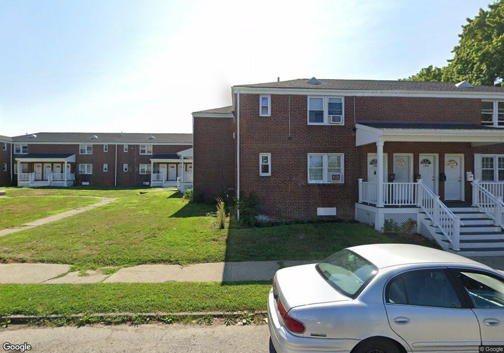
122A Chestnut St Unit 122A Bridgeport, CT 06604
The Hollow NeighborhoodEstimated Value: $84,000 - $132,000
1
Bed
1
Bath
600
Sq Ft
$178/Sq Ft
Est. Value
About This Home
This home is located at 122A Chestnut St Unit 122A, Bridgeport, CT 06604 and is currently estimated at $106,854, approximately $178 per square foot. 122A Chestnut St Unit 122A is a home located in Fairfield County with nearby schools including Geraldine Johnson School, Bassick High School, and Catholic Academy of Bridgeport-St. Raphael Academy.
Ownership History
Date
Name
Owned For
Owner Type
Purchase Details
Closed on
Jul 6, 2021
Sold by
Kimca Klevis
Bought by
Cgc Properties Llc
Current Estimated Value
Purchase Details
Closed on
Apr 14, 2016
Sold by
K Brothers Props & Inv D
Bought by
Kimca Klevis
Purchase Details
Closed on
May 30, 2012
Sold by
Monterey Properties Ll
Bought by
K Brothers Properties
Purchase Details
Closed on
Feb 8, 2000
Sold by
Goncalves Jose C
Bought by
Monterey Prop Llc
Create a Home Valuation Report for This Property
The Home Valuation Report is an in-depth analysis detailing your home's value as well as a comparison with similar homes in the area
Home Values in the Area
Average Home Value in this Area
Purchase History
| Date | Buyer | Sale Price | Title Company |
|---|---|---|---|
| Cgc Properties Llc | $69,000 | None Available | |
| Cgc Properties Llc | $69,000 | None Available | |
| Kimca Klevis | -- | -- | |
| Kimca Klevis | -- | -- | |
| K Brothers Properties | $11,250 | -- | |
| K Brothers Properties | $11,250 | -- | |
| Monterey Prop Llc | $5,366 | -- | |
| Monterey Prop Llc | $5,366 | -- |
Source: Public Records
Tax History Compared to Growth
Tax History
| Year | Tax Paid | Tax Assessment Tax Assessment Total Assessment is a certain percentage of the fair market value that is determined by local assessors to be the total taxable value of land and additions on the property. | Land | Improvement |
|---|---|---|---|---|
| 2025 | $1,254 | $28,850 | $0 | $28,850 |
| 2024 | $1,254 | $28,850 | $0 | $28,850 |
| 2023 | $1,254 | $28,850 | $0 | $28,850 |
| 2022 | $1,254 | $28,850 | $0 | $28,850 |
| 2021 | $1,254 | $28,850 | $0 | $28,850 |
| 2020 | $932 | $17,260 | $0 | $17,260 |
| 2019 | $932 | $17,260 | $0 | $17,260 |
| 2018 | $938 | $17,260 | $0 | $17,260 |
| 2017 | $938 | $17,260 | $0 | $17,260 |
| 2016 | $938 | $17,260 | $0 | $17,260 |
| 2015 | $1,145 | $27,130 | $0 | $27,130 |
| 2014 | $1,145 | $27,130 | $0 | $27,130 |
Source: Public Records
Map
Nearby Homes
- 191 Oak St
- 183 Calhoun Ave
- 100 Lorraine St
- 309 Pequonnock St
- 318 Center St
- 139 Highland Ave Unit 143
- 1872 North Ave Unit 1874
- 213 Harral Ave Unit 215
- 120 Milne St Unit 122
- 200 Harral Ave
- 826 Norman St
- 75 Sanford Ave
- 113 Milne St Unit 115
- 1373 Iranistan Ave
- 566 Wood Ave
- 414 Wood Ave
- 31 Taft Ave
- 356 Taft Ave
- 687 Wood Ave
- 78 Fairmount Ave
- 467 Lexington Ave
- 465 Lexington Ave
- 463 Lexington Ave
- 232 Chestnut St
- 228 Chestnut St
- 226 Chestnut St
- 224 Chestnut St
- 222 Chestnut St
- 220 Chestnut St
- 218 Chestnut St
- 214 Chestnut St
- 138 Chestnut St
- 136 Chestnut St
- 134 Chestnut St
- 132A Chestnut St Unit 132A
- 132 Chestnut St
- 130A Chestnut St Unit 130A
- 130 Chestnut St
- 128A Chestnut St Unit 128A
- 128 Chestnut St