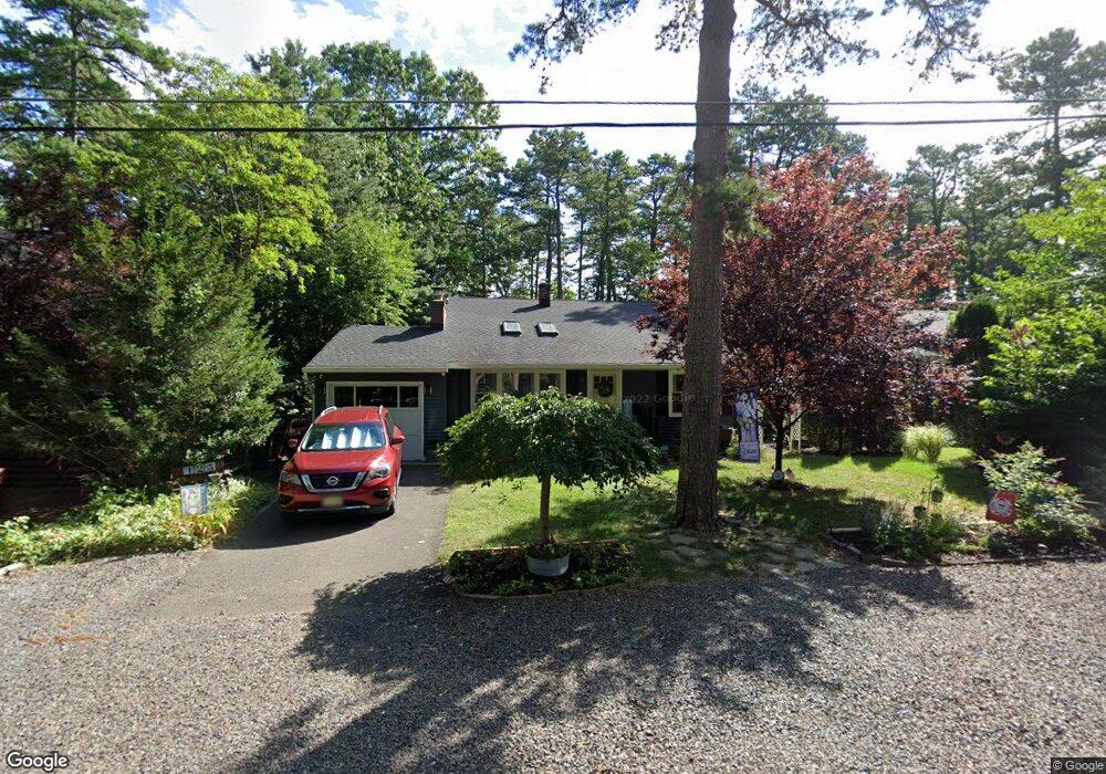
123 Apache Trail Medford, NJ 08055
Estimated Value: $378,000 - $562,000
--
Bed
--
Bath
1,596
Sq Ft
$292/Sq Ft
Est. Value
About This Home
This home is located at 123 Apache Trail, Medford, NJ 08055 and is currently estimated at $466,249, approximately $292 per square foot. 123 Apache Trail is a home located in Burlington County with nearby schools including Nokomis School, Neeta School, and Shawnee High School.
Ownership History
Date
Name
Owned For
Owner Type
Purchase Details
Closed on
Apr 18, 2005
Sold by
Goldstein Richard D and Goldstein Linda
Bought by
Everett Scott N and Everett Jeanne
Current Estimated Value
Home Financials for this Owner
Home Financials are based on the most recent Mortgage that was taken out on this home.
Original Mortgage
$220,000
Interest Rate
8.57%
Mortgage Type
Fannie Mae Freddie Mac
Purchase Details
Closed on
Jun 29, 2000
Sold by
Jones Clifford W and Jones Catherine D
Bought by
Goldstein Richard D
Home Financials for this Owner
Home Financials are based on the most recent Mortgage that was taken out on this home.
Original Mortgage
$137,700
Interest Rate
10.99%
Create a Home Valuation Report for This Property
The Home Valuation Report is an in-depth analysis detailing your home's value as well as a comparison with similar homes in the area
Home Values in the Area
Average Home Value in this Area
Purchase History
| Date | Buyer | Sale Price | Title Company |
|---|---|---|---|
| Everett Scott N | $220,000 | Federation Title Agency Inc | |
| Goldstein Richard D | $145,000 | -- |
Source: Public Records
Mortgage History
| Date | Status | Borrower | Loan Amount |
|---|---|---|---|
| Previous Owner | Everett Scott N | $220,000 | |
| Previous Owner | Goldstein Richard D | $137,700 |
Source: Public Records
Tax History Compared to Growth
Tax History
| Year | Tax Paid | Tax Assessment Tax Assessment Total Assessment is a certain percentage of the fair market value that is determined by local assessors to be the total taxable value of land and additions on the property. | Land | Improvement |
|---|---|---|---|---|
| 2025 | $8,190 | $215,400 | $77,200 | $138,200 |
| 2024 | $7,744 | $215,400 | $77,200 | $138,200 |
| 2023 | $7,744 | $215,400 | $77,200 | $138,200 |
| 2022 | $7,576 | $215,400 | $77,200 | $138,200 |
| 2021 | $7,375 | $215,400 | $77,200 | $138,200 |
| 2020 | $7,173 | $215,400 | $77,200 | $138,200 |
| 2019 | $7,160 | $215,400 | $77,200 | $138,200 |
| 2018 | $6,979 | $215,400 | $77,200 | $138,200 |
| 2017 | $6,664 | $215,400 | $77,200 | $138,200 |
| 2016 | $6,499 | $215,400 | $77,200 | $138,200 |
| 2015 | $6,458 | $215,400 | $77,200 | $138,200 |
| 2014 | $6,307 | $215,400 | $77,200 | $138,200 |
Source: Public Records
Map
Nearby Homes
- 133 Stokes Rd
- 81 Sagamore Trail
- 38 Lenape Trail
- 56 Decotah Trail
- 131 Iroquois Trail
- 114 Hiawatha Trail
- 109 Mohawk Trail
- 65 Cutchogue Trail
- 37 Osage Trail
- 14 Hiawatha Trail
- 19 Cayuga Trail
- 28 Shawnee Trail
- 286 Chippewa Trail
- 179 Chickahominy Trail
- 183 Nahma Trail
- 5 Birchwood Dr
- 14 Wrentham Dr Unit 34
- 0 Tuckerton and Atsion Rd
- 28 Brattleboro Ct Unit 7
- 9 Hawthorne Dr
- 117 Apache Trail
- 125 Apache Trail
- 124 Stokes Rd
- 120 Stokes Rd
- 129 Apache Trail
- 128 Stokes Rd
- 124 Apache Trail
- 128 Apache Trail
- 120 Apache Trail
- 134 Apache Trail
- 116 Stokes Rd
- 13 Mohawk Trail
- 125 Stokes Rd
- 121 Navajo Trail
- 125 Navajo Trail
- 17 Mohawk Trail
- 133 Apache Trail
- 121 Stokes Rd
- 127 Stokes Rd
- 127 Navajo Trail