123 Bear Point Rd Bowerbank, ME 04426
Estimated Value: $349,000 - $712,896
3
Beds
1
Bath
576
Sq Ft
$922/Sq Ft
Est. Value
About This Home
This home is located at 123 Bear Point Rd, Bowerbank, ME 04426 and is currently estimated at $530,948, approximately $921 per square foot. 123 Bear Point Rd is a home located in Piscataquis County.
Ownership History
Date
Name
Owned For
Owner Type
Purchase Details
Closed on
Mar 29, 2019
Sold by
Hollis Curtis
Bought by
Hammond Nathaniel and Powers Maryellen
Current Estimated Value
Home Financials for this Owner
Home Financials are based on the most recent Mortgage that was taken out on this home.
Original Mortgage
$112,500
Outstanding Balance
$98,908
Interest Rate
4.3%
Mortgage Type
New Conventional
Estimated Equity
$432,041
Purchase Details
Closed on
Nov 12, 2015
Sold by
Curtis Rhonda and Curtis Hollis
Bought by
Curtis Hollis
Home Financials for this Owner
Home Financials are based on the most recent Mortgage that was taken out on this home.
Original Mortgage
$109,100
Interest Rate
3.87%
Mortgage Type
Commercial
Create a Home Valuation Report for This Property
The Home Valuation Report is an in-depth analysis detailing your home's value as well as a comparison with similar homes in the area
Home Values in the Area
Average Home Value in this Area
Purchase History
| Date | Buyer | Sale Price | Title Company |
|---|---|---|---|
| Hammond Nathaniel | -- | -- | |
| Curtis Hollis | -- | -- |
Source: Public Records
Mortgage History
| Date | Status | Borrower | Loan Amount |
|---|---|---|---|
| Open | Hammond Nathaniel | $112,500 | |
| Previous Owner | Curtis Hollis | $109,100 |
Source: Public Records
Tax History Compared to Growth
Tax History
| Year | Tax Paid | Tax Assessment Tax Assessment Total Assessment is a certain percentage of the fair market value that is determined by local assessors to be the total taxable value of land and additions on the property. | Land | Improvement |
|---|---|---|---|---|
| 2024 | $3,965 | $660,810 | $369,000 | $291,810 |
| 2023 | $3,601 | $660,810 | $369,000 | $291,810 |
| 2022 | $3,493 | $629,440 | $351,430 | $278,010 |
| 2021 | $3,525 | $629,440 | $351,430 | $278,010 |
| 2020 | $689 | $594,880 | $351,430 | $243,450 |
| 2019 | $660 | $594,320 | $351,430 | $242,890 |
| 2018 | $1,649 | $594,320 | $351,430 | $242,890 |
| 2017 | $2,320 | $594,320 | $351,430 | $242,890 |
| 2016 | $1,948 | $367,530 | $143,520 | $224,010 |
| 2015 | $1,838 | $367,530 | $143,520 | $224,010 |
| 2014 | $1,915 | $361,290 | $143,520 | $217,770 |
Source: Public Records
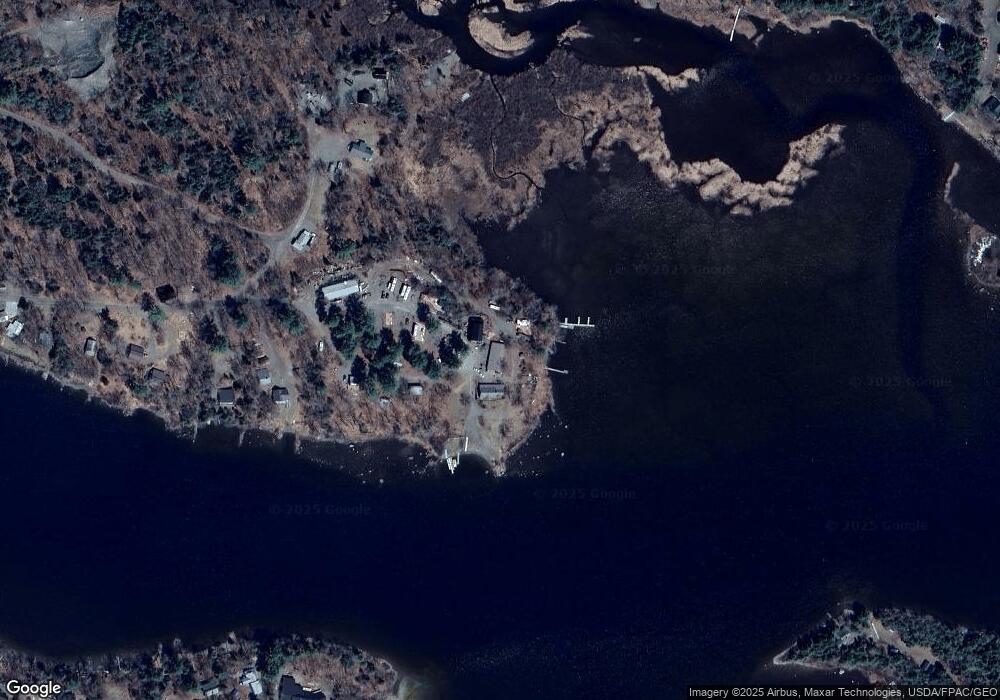
Map
Nearby Homes
- Lot9 Bear Brook Subdivision
- M1/L1-3 Bowerbank Rd
- Lot 5 Peterson Rd
- 753 Sebec Village Rd
- 626 Sebec Village Rd Unit D
- 728 Sebec Village Rd
- Lot 5 Sebec Village Rd
- Lot 3 Sebec Village Rd
- 758 Sebec Village Rd
- 154 Old Brownville Rd
- 45 Beaver Brook Rd
- M6L16-12-3 Beaver Brook Rd
- Lot 13 Parker Pond Rd
- Lot8 Bear Brook Subdivision
- Lot2 Bear Brook Subdivision
- Lot1 Bear Brook Subdivision
- Lot7 Bear Brook Subdivision
- Lot 12 Parker Pond Rd
- M18 L13b Fox St
- 560 Steadmans Landing Rd