123 Booth Rd Mount Clare, WV 26408
Estimated Value: $354,000 - $468,294
5
Beds
3
Baths
2,700
Sq Ft
$155/Sq Ft
Est. Value
About This Home
This home is located at 123 Booth Rd, Mount Clare, WV 26408 and is currently estimated at $418,574, approximately $155 per square foot. 123 Booth Rd is a home located in Harrison County with nearby schools including Mother Goose Land Kindergarten.
Ownership History
Date
Name
Owned For
Owner Type
Purchase Details
Closed on
Aug 3, 2022
Sold by
Booth Donna J
Bought by
Sevier Derek Anthony and Sevier Adelyne Michele
Current Estimated Value
Home Financials for this Owner
Home Financials are based on the most recent Mortgage that was taken out on this home.
Original Mortgage
$368,207
Outstanding Balance
$352,846
Interest Rate
5.81%
Mortgage Type
FHA
Estimated Equity
$65,728
Purchase Details
Closed on
Jun 17, 2013
Sold by
Pinti Jon K and Pinti Donna J
Bought by
Pinti Donna J and Pinti Jon K
Create a Home Valuation Report for This Property
The Home Valuation Report is an in-depth analysis detailing your home's value as well as a comparison with similar homes in the area
Home Values in the Area
Average Home Value in this Area
Purchase History
| Date | Buyer | Sale Price | Title Company |
|---|---|---|---|
| Sevier Derek Anthony | $389,000 | Edwards Klein Anderson & Shope | |
| Sevier Derek Anthony | $389,000 | None Listed On Document | |
| Pinti Donna J | -- | None Available |
Source: Public Records
Mortgage History
| Date | Status | Borrower | Loan Amount |
|---|---|---|---|
| Open | Sevier Derek Anthony | $368,207 | |
| Closed | Sevier Derek Anthony | $368,207 |
Source: Public Records
Tax History Compared to Growth
Tax History
| Year | Tax Paid | Tax Assessment Tax Assessment Total Assessment is a certain percentage of the fair market value that is determined by local assessors to be the total taxable value of land and additions on the property. | Land | Improvement |
|---|---|---|---|---|
| 2024 | $2,452 | $195,960 | $19,740 | $176,220 |
| 2023 | $1,324 | $113,760 | $19,740 | $94,020 |
| 2022 | $1,331 | $112,920 | $19,740 | $93,180 |
| 2021 | $1,300 | $111,660 | $19,740 | $91,920 |
| 2020 | $1,273 | $110,400 | $19,740 | $90,660 |
| 2019 | $1,269 | $109,980 | $19,740 | $90,240 |
| 2018 | $1,237 | $107,700 | $19,740 | $87,960 |
| 2017 | $1,213 | $106,080 | $19,740 | $86,340 |
| 2016 | $1,171 | $103,680 | $19,020 | $84,660 |
| 2015 | $1,105 | $97,320 | $18,660 | $78,660 |
| 2014 | $34 | $1,500 | $1,500 | $0 |
Source: Public Records
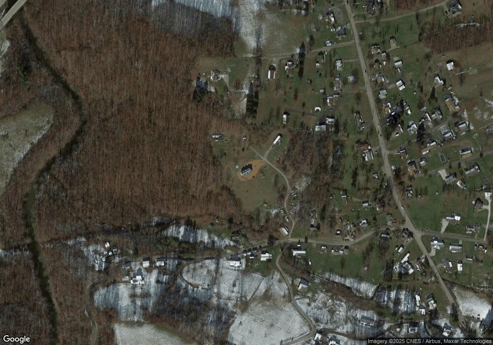
Map
Nearby Homes
- 7 Mayflower Ln
- 2189 Chub Run Rd
- 186 Robin Ln
- 82 Robinwood Dr
- 7644 Buckhannon Pike
- 0 Solomon Dr
- 8037 Maple Ave
- 2410 Buckhannon Pike
- 8688 Cost Ave
- TBD Elk Creek Pike
- 256 Florence Hollow Rd
- 542 Brushy Fork Rd
- 516 Brushy Fork Rd
- 8030 Labrador Ln
- 15 Overlook Dr
- 9 Overlook Dr
- 3 Overlook Dr
- 54 Church St
- 163 Hutchinson Hollow Rd
- 4184 Mount Clare Rd
- 156 Circle Dr
- 111 Reeder Dr
- 121 Circle Dr
- 219 Circle Dr
- 106 Circle Dr
- 193 Hummingbird Hill Dr
- 75 Circle Dr
- 42 Reeder Dr
- 92 Circle Dr
- 85 Hummingbird Hill Dr
- 251 Circle Dr
- 4792 Buckhannon Pike
- 4804 Buckhannon Pike
- 4760 Buckhannon Pike
- 59 Hummingbird Hill Dr
- 4690 Buckhannon Pike
- 27 Circle Dr
- 32 Circle Dr
- 339 Circle Dr
- 20 Queens Ln