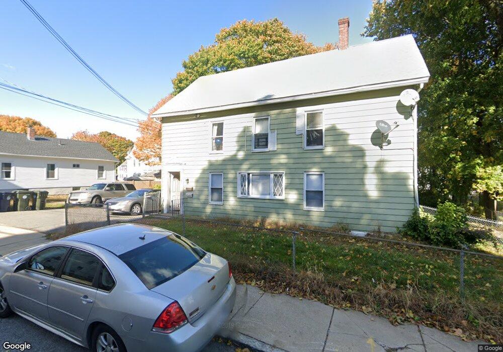
123 Broad St Marlborough, MA 01752
French Hill NeighborhoodEstimated Value: $632,821 - $917,000
4
Beds
2
Baths
3,054
Sq Ft
$244/Sq Ft
Est. Value
About This Home
This home is located at 123 Broad St, Marlborough, MA 01752 and is currently estimated at $746,455, approximately $244 per square foot. 123 Broad St is a home located in Middlesex County with nearby schools including Marlborough High School, Advanced Math & Science Academy, and New Covenant Christian School.
Ownership History
Date
Name
Owned For
Owner Type
Purchase Details
Closed on
Oct 16, 1997
Sold by
Woodard Mark R
Bought by
Kantor Nadine M and Kantor Stephen A
Current Estimated Value
Home Financials for this Owner
Home Financials are based on the most recent Mortgage that was taken out on this home.
Original Mortgage
$124,900
Outstanding Balance
$20,084
Interest Rate
7.46%
Mortgage Type
Purchase Money Mortgage
Estimated Equity
$726,371
Create a Home Valuation Report for This Property
The Home Valuation Report is an in-depth analysis detailing your home's value as well as a comparison with similar homes in the area
Home Values in the Area
Average Home Value in this Area
Purchase History
| Date | Buyer | Sale Price | Title Company |
|---|---|---|---|
| Kantor Nadine M | $131,500 | -- |
Source: Public Records
Mortgage History
| Date | Status | Borrower | Loan Amount |
|---|---|---|---|
| Open | Kantor Nadine M | $124,900 |
Source: Public Records
Tax History Compared to Growth
Tax History
| Year | Tax Paid | Tax Assessment Tax Assessment Total Assessment is a certain percentage of the fair market value that is determined by local assessors to be the total taxable value of land and additions on the property. | Land | Improvement |
|---|---|---|---|---|
| 2025 | $5,630 | $571,000 | $213,600 | $357,400 |
| 2024 | $5,484 | $535,500 | $194,100 | $341,400 |
| 2023 | $5,711 | $494,900 | $156,800 | $338,100 |
| 2022 | $5,558 | $423,600 | $149,300 | $274,300 |
| 2021 | $4,855 | $351,800 | $121,600 | $230,200 |
| 2020 | $4,701 | $331,500 | $118,500 | $213,000 |
| 2019 | $4,539 | $322,600 | $116,100 | $206,500 |
| 2018 | $4,091 | $279,600 | $96,700 | $182,900 |
| 2017 | $3,807 | $248,500 | $94,800 | $153,700 |
| 2016 | $3,849 | $250,900 | $94,800 | $156,100 |
| 2015 | $3,812 | $241,900 | $97,300 | $144,600 |
Source: Public Records
Map
Nearby Homes
- 156 Chestnut St
- 76 Broad St
- 30A Winter Ave
- 118 Elm St
- 30 Broad St Unit 104
- 11 Paris St
- 8 Saint Mary's Way Unit 8
- 280 Elm St Unit A6
- 73 Howland St
- 52 Norwood St
- 29 Elm St
- 63 W Main St
- 91 Maplewood Ave
- 287 Elm St
- 32 Water St
- 53 Russell St
- 27 Jefferson St
- 27 Jefferson St Unit 204
- 71 Hudson St
- 38 Gleason Street Extension
- 131 Broad St
- 117 Broad St
- 10 Lacouture Ct
- 194 Chestnut St
- 194 Chestnut St
- 194 Chestnut St Unit 3
- 198 Chestnut St
- 198 Chestnut St Unit 2
- 135 Broad St
- 190 Chestnut St Unit 2
- 190 Chestnut St Unit 3
- 190 Chestnut St
- 120 Broad St
- 9 Lacouture Ct
- 122 Broad St
- 130 Broad St
- 118 Broad St
- 114 Broad St
- 132 Broad St
- 32 Cross St