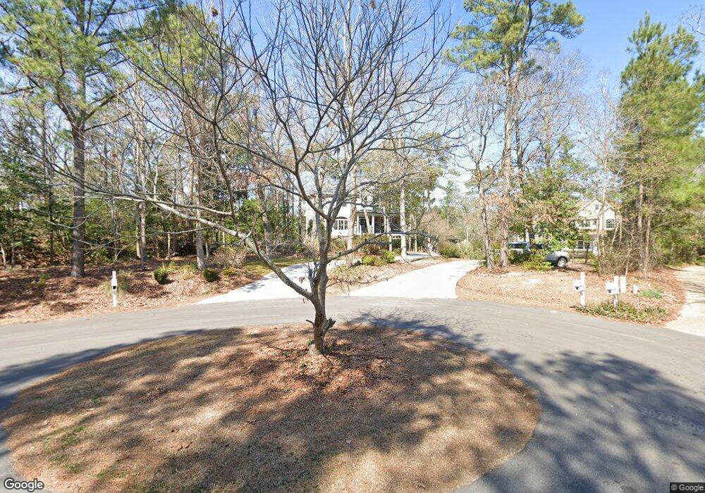
123 Canvasback Point Hampstead, NC 28443
Estimated Value: $702,709 - $756,000
4
Beds
4
Baths
3,178
Sq Ft
$228/Sq Ft
Est. Value
About This Home
This home is located at 123 Canvasback Point, Hampstead, NC 28443 and is currently estimated at $725,677, approximately $228 per square foot. 123 Canvasback Point is a home located in Pender County with nearby schools including Topsail Elementary School, Topsail Middle School, and Topsail High School.
Ownership History
Date
Name
Owned For
Owner Type
Purchase Details
Closed on
Oct 5, 2017
Sold by
Scay Patick Gene and Scay Caroline
Bought by
David W Batts Builders Inc
Current Estimated Value
Home Financials for this Owner
Home Financials are based on the most recent Mortgage that was taken out on this home.
Original Mortgage
$260,000
Outstanding Balance
$215,071
Interest Rate
3.82%
Mortgage Type
Future Advance Clause Open End Mortgage
Estimated Equity
$510,606
Purchase Details
Closed on
Feb 8, 2002
Bought by
Batts David Wayne
Create a Home Valuation Report for This Property
The Home Valuation Report is an in-depth analysis detailing your home's value as well as a comparison with similar homes in the area
Home Values in the Area
Average Home Value in this Area
Purchase History
| Date | Buyer | Sale Price | Title Company |
|---|---|---|---|
| David W Batts Builders Inc | $36,000 | None Available | |
| Batts David Wayne | $40,000 | -- |
Source: Public Records
Mortgage History
| Date | Status | Borrower | Loan Amount |
|---|---|---|---|
| Open | David W Batts Builders Inc | $260,000 |
Source: Public Records
Tax History
| Year | Tax Paid | Tax Assessment Tax Assessment Total Assessment is a certain percentage of the fair market value that is determined by local assessors to be the total taxable value of land and additions on the property. | Land | Improvement |
|---|---|---|---|---|
| 2025 | $4,042 | $710,707 | $132,800 | $577,907 |
| 2024 | $4,042 | $415,298 | $101,054 | $314,244 |
| 2023 | $4,042 | $415,298 | $101,054 | $314,244 |
| 2022 | $3,677 | $415,298 | $101,054 | $314,244 |
| 2021 | $3,677 | $415,298 | $101,054 | $314,244 |
| 2020 | $3,677 | $415,298 | $101,054 | $314,244 |
| 2019 | $1,652 | $172,046 | $101,054 | $70,992 |
| 2018 | $3,762 | $405,966 | $72,500 | $333,466 |
| 2017 | $3,762 | $405,966 | $72,500 | $333,466 |
| 2016 | $3,721 | $405,966 | $72,500 | $333,466 |
| 2015 | $3,728 | $405,966 | $72,500 | $333,466 |
| 2014 | $2,925 | $405,966 | $72,500 | $333,466 |
| 2013 | -- | $405,966 | $72,500 | $333,466 |
| 2012 | -- | $405,966 | $72,500 | $333,466 |
Source: Public Records
Map
Nearby Homes
- 102 Osprey Nest
- 20 W High Bluff Dr
- 104 W High Bluff Dr
- 508 Sanderling Ct Unit Lot 337
- Lot 35 E High Bluff Dr
- Lot 46 Crown Pointe Dr
- Lot 50 Crown Pointe Dr
- Lot 48 Crown Pointe Dr
- Lot 42 Crown Pointe Dr
- Lot 45 Crown Pointe Dr
- 753 Crown Pointe Dr
- 116 Mansfield Ct
- Lot 9 Bay Harbor Dr
- 205 E Loon Ct
- 1061 Crown Pointe Dr
- 135 E High Bluff Dr
- 23 Stonegate Cir
- 102 Whimbrel Way
- 876 McClammy Rd
- 314 Pond View Ct
- 125 Canvasback Point
- 124 Canvasback Point
- 119 Canvasback Point
- 122 Canvasback Point
- 115 Canvasback Point
- 115 Canvasback Point
- 101 E Goldeneye Dr
- 104 N Gadwall Ct
- 103 E Goldeneye Dr
- 103 E Goldeneye
- 102 N Gadwall Ct
- 0 Gadwall
- 1 E Goldeneye Landing
- Lt 56 E Goldeneye Landing
- 3 E Goldeneye Landing
- 62 Lot E Goldeneye Landing
- 0 E Goldeneye Landing
- 62 E Goldeneye Landing
- 0 W Goldeneye Landing
- 61 W Goldeneye Landing
Your Personal Tour Guide
Ask me questions while you tour the home.