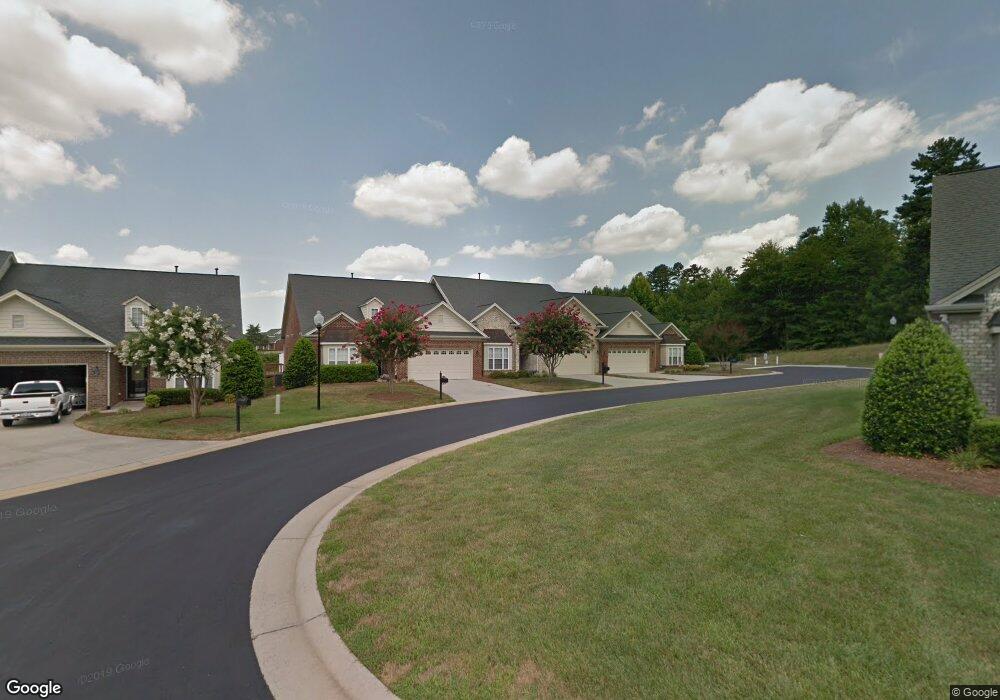
123 Colchester Ct Winston Salem, NC 27127
Estimated Value: $322,000 - $335,000
3
Beds
2
Baths
2,123
Sq Ft
$154/Sq Ft
Est. Value
About This Home
This home is located at 123 Colchester Ct, Winston Salem, NC 27127 and is currently estimated at $326,628, approximately $153 per square foot. 123 Colchester Ct is a home with nearby schools including Friedberg Elementary School, Oak Grove Middle School, and Oak Grove High School.
Ownership History
Date
Name
Owned For
Owner Type
Purchase Details
Closed on
Dec 19, 2024
Sold by
Craver Ned R and Craver Karen T
Bought by
Varner Linda S
Current Estimated Value
Purchase Details
Closed on
Apr 17, 2007
Sold by
Cambridge Isenhour Homes Inc
Bought by
Craver Ned Raymond and Craver Karen Tysinger
Home Financials for this Owner
Home Financials are based on the most recent Mortgage that was taken out on this home.
Original Mortgage
$180,200
Interest Rate
6.1%
Mortgage Type
Purchase Money Mortgage
Create a Home Valuation Report for This Property
The Home Valuation Report is an in-depth analysis detailing your home's value as well as a comparison with similar homes in the area
Home Values in the Area
Average Home Value in this Area
Purchase History
| Date | Buyer | Sale Price | Title Company |
|---|---|---|---|
| Varner Linda S | $325,000 | None Listed On Document | |
| Varner Linda S | $325,000 | None Listed On Document | |
| Craver Ned Raymond | $200,000 | None Available |
Source: Public Records
Mortgage History
| Date | Status | Borrower | Loan Amount |
|---|---|---|---|
| Previous Owner | Craver Ned Raymond | $180,200 |
Source: Public Records
Tax History Compared to Growth
Tax History
| Year | Tax Paid | Tax Assessment Tax Assessment Total Assessment is a certain percentage of the fair market value that is determined by local assessors to be the total taxable value of land and additions on the property. | Land | Improvement |
|---|---|---|---|---|
| 2025 | $1,331 | $204,740 | $0 | $0 |
| 2024 | $1,286 | $203,960 | $0 | $0 |
| 2023 | $1,305 | $203,960 | $0 | $0 |
| 2022 | $1,246 | $203,960 | $0 | $0 |
| 2021 | $1,246 | $203,960 | $0 | $0 |
| 2020 | $1,114 | $182,350 | $0 | $0 |
| 2019 | $1,131 | $182,350 | $0 | $0 |
| 2018 | $1,131 | $182,350 | $0 | $0 |
| 2017 | $1,131 | $182,350 | $0 | $0 |
| 2016 | $1,131 | $182,350 | $0 | $0 |
| 2015 | $1,131 | $182,350 | $0 | $0 |
| 2014 | $1,250 | $201,560 | $0 | $0 |
Source: Public Records
Map
Nearby Homes
- 281 Collingswood Dr
- 429 Mendenhall Dr
- 395 Widaustin Dr
- 157 Owl Ln
- 618 Widaustin Dr
- 748 Widaustin Dr
- 231 Vine Ridge Dr
- 150 Owl Ln
- 256 Vine Ridge Dr
- 293 Vine Ridge Dr
- 304 Vine Ridge Dr
- 296 Vine Ridge Dr
- 278 Vine Ridge Dr
- 156 Sentry Ct
- 400 Southlake Ct
- 249 Pipers Ridge E
- 167 Candytuft Ct
- 159 Candytuft Ct
- 151 Candytuft Ct
- 145 Candytuft Ct
- 131 Colchester Ct
- 115 Colchester Ct
- 107 Colchester Ct
- 440 Collingswood Dr
- 416 Collingswood Dr
- 448 Collingswood Dr
- 408 Collingswood Dr
- 400 Collingswood Dr
- 435 Collingswood Dr
- 456 Collingswood Dr
- 464 Collingswood Dr
- 443 Collingswood Dr
- 392 Collingswood Dr
- 472 Collingswood Dr
- 387 Collingswood Dr
- 465 Collingswood Dr
- 384 Collingswood Dr
- 376 Collingswood Dr
- 484 Collingswood Dr
- 503 Burwood Dr