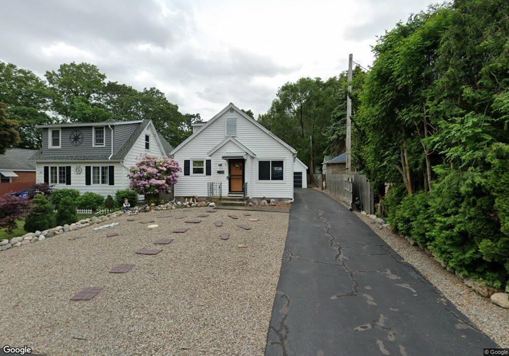
123 Durand Blvd Rochester, NY 14622
Estimated Value: $200,000 - $263,000
3
Beds
2
Baths
1,340
Sq Ft
$168/Sq Ft
Est. Value
About This Home
This home is located at 123 Durand Blvd, Rochester, NY 14622 and is currently estimated at $225,692, approximately $168 per square foot. 123 Durand Blvd is a home located in Monroe County with nearby schools including East Irondequoit Middle School, Eastridge Senior High School, and Bay Knoll Seventh-day Adventist School.
Ownership History
Date
Name
Owned For
Owner Type
Purchase Details
Closed on
Oct 24, 2008
Sold by
Fundin Eric
Bought by
Bruinsma Michele
Current Estimated Value
Home Financials for this Owner
Home Financials are based on the most recent Mortgage that was taken out on this home.
Original Mortgage
$47,300
Outstanding Balance
$31,581
Interest Rate
6.43%
Mortgage Type
Credit Line Revolving
Estimated Equity
$194,111
Purchase Details
Closed on
Aug 22, 2001
Purchase Details
Closed on
Jun 28, 2001
Sold by
Gatto Nettie
Bought by
Fundin Eric S
Create a Home Valuation Report for This Property
The Home Valuation Report is an in-depth analysis detailing your home's value as well as a comparison with similar homes in the area
Home Values in the Area
Average Home Value in this Area
Purchase History
| Date | Buyer | Sale Price | Title Company |
|---|---|---|---|
| Bruinsma Michele | $97,000 | Thomas Darganis | |
| -- | -- | -- | |
| Fundin Eric S | $64,000 | Glenn D Mattison |
Source: Public Records
Mortgage History
| Date | Status | Borrower | Loan Amount |
|---|---|---|---|
| Open | Bruinsma Michele | $47,300 | |
| Closed | Bruinsma Michele | $40,000 |
Source: Public Records
Tax History Compared to Growth
Tax History
| Year | Tax Paid | Tax Assessment Tax Assessment Total Assessment is a certain percentage of the fair market value that is determined by local assessors to be the total taxable value of land and additions on the property. | Land | Improvement |
|---|---|---|---|---|
| 2024 | $2,419 | $177,000 | $30,000 | $147,000 |
| 2023 | $5,727 | $177,000 | $30,000 | $147,000 |
| 2022 | $5,407 | $105,900 | $24,500 | $81,400 |
| 2021 | $5,356 | $105,900 | $24,500 | $81,400 |
| 2020 | $4,395 | $105,900 | $24,500 | $81,400 |
| 2019 | $3,893 | $105,900 | $24,500 | $81,400 |
| 2018 | $4,195 | $105,900 | $24,500 | $81,400 |
| 2017 | $2,003 | $94,300 | $9,900 | $84,400 |
| 2016 | $3,893 | $94,300 | $9,900 | $84,400 |
| 2015 | -- | $94,300 | $9,900 | $84,400 |
| 2014 | -- | $94,300 | $9,900 | $84,400 |
Source: Public Records
Map
Nearby Homes
- 321 Wacona Ave
- 37 Outlook Dr
- 98 Keating Dr
- 83 Keating Dr
- 30 Bayton Dr
- 213 Filon Ave
- 91 Birch Hills Dr
- 395 Liberty Ave
- 268 Lake Breeze Park
- 165 Birch Hills Dr
- 696 Summit Dr
- 3902 Culver Rd
- 174 Coolidge Rd
- 96 Fairlea Dr
- 629 Midship Cir
- 737 Admiralty Way
- 717 Mariner Cir
- 288 Hartsdale Rd
- 9 Rudman Rd
- 247 Garford Rd
- 129 Durand Blvd
- 514 Peart Ave
- 135 Durand Blvd
- 502 Peart Ave
- 522 Peart Ave
- 508 Peart Ave
- 504 Peart Ave
- 141 Durand Blvd
- 498 Peart Ave
- 120 Durand Blvd
- 492 Peart Ave
- 114 Durand Blvd
- 140 Durand Blvd
- 126 Durand Blvd
- 488 Peart Ave
- 110 Durand Blvd
- 145 Durand Blvd
- 478 Peart Ave
- 155 Durand Blvd
- 134 Durand Blvd