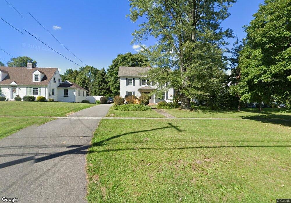
123 Elm St Rocky Hill, CT 06067
Estimated Value: $376,000 - $438,000
4
Beds
2
Baths
1,749
Sq Ft
$230/Sq Ft
Est. Value
About This Home
This home is located at 123 Elm St, Rocky Hill, CT 06067 and is currently estimated at $402,392, approximately $230 per square foot. 123 Elm St is a home located in Hartford County with nearby schools including Albert D. Griswold Middle School and Rocky Hill High School.
Ownership History
Date
Name
Owned For
Owner Type
Purchase Details
Closed on
Sep 10, 1996
Sold by
Mutch James A and Mutch James S
Bought by
Karpuk Paul A and Karpuk Susan P
Current Estimated Value
Home Financials for this Owner
Home Financials are based on the most recent Mortgage that was taken out on this home.
Original Mortgage
$109,000
Interest Rate
8.11%
Mortgage Type
Unknown
Create a Home Valuation Report for This Property
The Home Valuation Report is an in-depth analysis detailing your home's value as well as a comparison with similar homes in the area
Home Values in the Area
Average Home Value in this Area
Purchase History
| Date | Buyer | Sale Price | Title Company |
|---|---|---|---|
| Karpuk Paul A | $159,000 | -- | |
| Karpuk Paul A | $11,000 | -- | |
| Karpuk Paul A | $11,000 | -- |
Source: Public Records
Mortgage History
| Date | Status | Borrower | Loan Amount |
|---|---|---|---|
| Closed | Karpuk Paul A | $82,314 | |
| Closed | Karpuk Paul A | $110,600 | |
| Closed | Karpuk Paul A | $109,000 | |
| Closed | Karpuk Paul A | $0 |
Source: Public Records
Tax History Compared to Growth
Tax History
| Year | Tax Paid | Tax Assessment Tax Assessment Total Assessment is a certain percentage of the fair market value that is determined by local assessors to be the total taxable value of land and additions on the property. | Land | Improvement |
|---|---|---|---|---|
| 2025 | $5,999 | $198,380 | $56,210 | $142,170 |
| 2024 | $5,787 | $198,380 | $56,210 | $142,170 |
| 2023 | $5,657 | $157,500 | $47,110 | $110,390 |
| 2022 | $5,437 | $157,500 | $47,110 | $110,390 |
| 2021 | $5,220 | $153,090 | $47,110 | $105,980 |
| 2020 | $5,144 | $153,090 | $47,110 | $105,980 |
| 2019 | $4,975 | $153,090 | $47,110 | $105,980 |
| 2018 | $4,722 | $145,740 | $42,490 | $103,250 |
| 2017 | $4,605 | $145,740 | $42,490 | $103,250 |
| 2016 | $4,518 | $145,740 | $42,490 | $103,250 |
| 2015 | $4,328 | $145,740 | $42,490 | $103,250 |
| 2014 | $4,289 | $144,410 | $42,490 | $101,920 |
Source: Public Records
Map
Nearby Homes
- 74 Grimes Rd
- 40 Grimes Rd
- 71 Joiners Rd
- 59 Chapin Ave
- 12 Colonial Dr Unit C
- 18 Colonial Dr Unit A
- 28 Colonial Dr Unit D
- 37 Carillon Dr Unit A
- 21 Carillon Dr Unit B
- 19 Brookwood Dr Unit C
- 1610 Silas Deane Hwy
- 32 Jennifers Way
- 2843 Main St
- 4 Lexington Ct
- 89 Gilbert Ave
- 20 Nessa Way
- 7 Pearl Ln
- 37 Deming Rd
- 2369 Main St
- 101 Briarwood Ct Unit 101