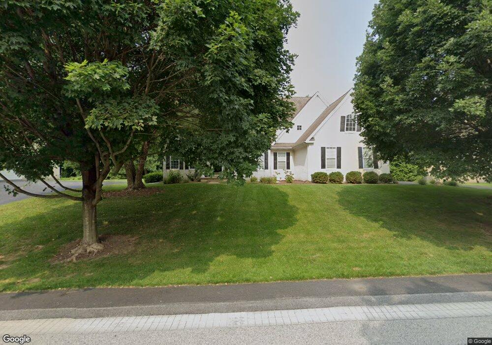
123 Forest Dr Kennett Square, PA 19348
Estimated Value: $858,224 - $1,128,000
4
Beds
4
Baths
4,151
Sq Ft
$238/Sq Ft
Est. Value
About This Home
This home is located at 123 Forest Dr, Kennett Square, PA 19348 and is currently estimated at $986,306, approximately $237 per square foot. 123 Forest Dr is a home located in Chester County with nearby schools including Kennett Middle School, Kennett High School, and St. Patrick School.
Ownership History
Date
Name
Owned For
Owner Type
Purchase Details
Closed on
May 16, 2003
Sold by
Wilkinson Heritage Llc
Bought by
Breuer Ronald M and Breuer Dorothy Katherine
Current Estimated Value
Home Financials for this Owner
Home Financials are based on the most recent Mortgage that was taken out on this home.
Original Mortgage
$427,639
Outstanding Balance
$186,807
Interest Rate
5.86%
Mortgage Type
Purchase Money Mortgage
Estimated Equity
$799,499
Create a Home Valuation Report for This Property
The Home Valuation Report is an in-depth analysis detailing your home's value as well as a comparison with similar homes in the area
Home Values in the Area
Average Home Value in this Area
Purchase History
| Date | Buyer | Sale Price | Title Company |
|---|---|---|---|
| Breuer Ronald M | $534,549 | -- |
Source: Public Records
Mortgage History
| Date | Status | Borrower | Loan Amount |
|---|---|---|---|
| Open | Breuer Ronald M | $427,639 | |
| Closed | Breuer Ronald M | $53,454 |
Source: Public Records
Tax History
| Year | Tax Paid | Tax Assessment Tax Assessment Total Assessment is a certain percentage of the fair market value that is determined by local assessors to be the total taxable value of land and additions on the property. | Land | Improvement |
|---|---|---|---|---|
| 2025 | $11,563 | $283,550 | $86,860 | $196,690 |
| 2024 | $11,563 | $283,550 | $86,860 | $196,690 |
| 2023 | $11,338 | $283,550 | $86,860 | $196,690 |
| 2022 | $11,036 | $283,550 | $86,860 | $196,690 |
| 2021 | $10,870 | $283,550 | $86,860 | $196,690 |
| 2020 | $10,667 | $283,550 | $86,860 | $196,690 |
| 2019 | $10,525 | $283,550 | $86,860 | $196,690 |
| 2018 | $10,306 | $283,550 | $86,860 | $196,690 |
| 2017 | $9,587 | $283,550 | $86,860 | $196,690 |
| 2016 | $1,124 | $283,550 | $86,860 | $196,690 |
| 2015 | $1,124 | $283,550 | $86,860 | $196,690 |
| 2014 | $1,124 | $283,550 | $86,860 | $196,690 |
Source: Public Records
Map
Nearby Homes
- 403 Winterberry Dr Unit 42
- 400 Lantern Ln
- 105 Waywood Dr
- 113 Waywood Dr Unit 32
- 115 Waywood Dr Unit 31
- 111 Waywood Dr Unit 33
- 103 Waywood Dr Unit 36
- 103 Waywood Dr
- 323 Cherry Ln
- 535 Kenview Ave
- 10104 Beacon St
- 10103 Beacon St
- 10101 Beacon St
- 10102 Beacon St
- 123 Federal Walk
- 10101 Austin Dr
- 10102 Bramble St
- 39 E Jonathan Ct
- 10102 Austin Dr
- 530 Richards Rd
- 125 Forest Dr
- 121 Forest Dr
- 122 Forest Dr
- 120 Forest Dr
- 124 Forest Dr
- 127 Forest Dr
- 200 Blue Spruce Dr
- 101 Blue Spruce Dr
- 100 Viburnum Dr
- 129 Forest Dr
- 206 Blue Spruce Dr
- 208 Blue Spruce Dr
- 103 Blue Spruce Dr
- 202 Blue Spruce Dr
- 102 Viburnum Dr
- 204 Blue Spruce Dr
- 201 Blue Spruce Dr
- 105 Blue Spruce Dr
- 131 Forest Dr
- 100 Blue Spruce Dr
Your Personal Tour Guide
Ask me questions while you tour the home.