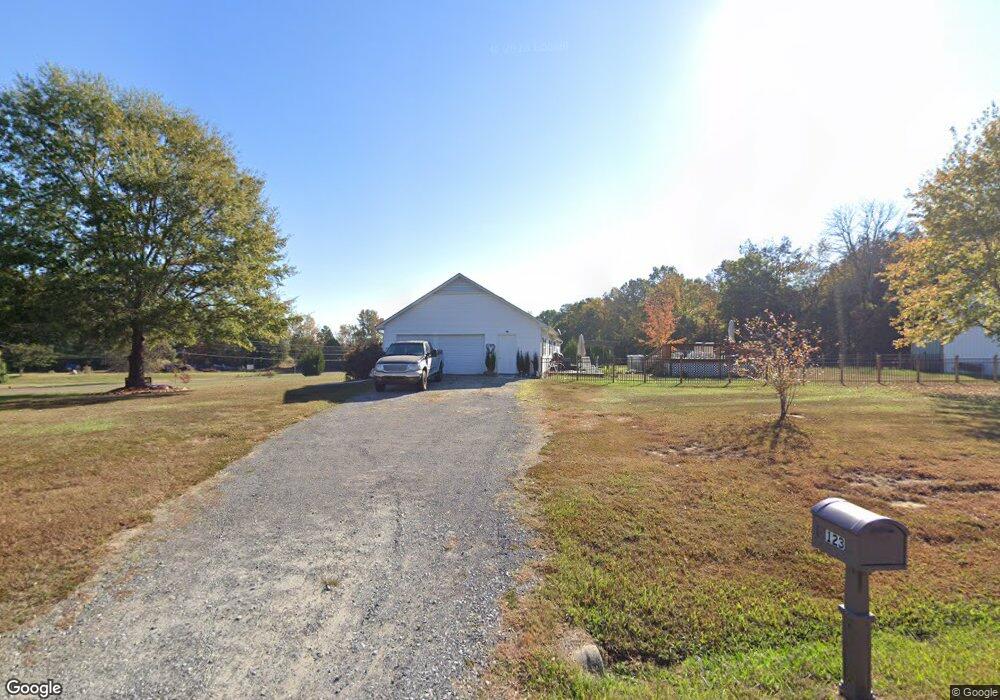
123 Foster Rd Mocksville, NC 27028
Estimated Value: $242,000 - $367,000
3
Beds
2
Baths
2,800
Sq Ft
$112/Sq Ft
Est. Value
About This Home
This home is located at 123 Foster Rd, Mocksville, NC 27028 and is currently estimated at $313,000, approximately $111 per square foot. 123 Foster Rd is a home located in Davie County with nearby schools including Cooleemee Elementary School, South Davie Middle, and Davie County High School.
Ownership History
Date
Name
Owned For
Owner Type
Purchase Details
Closed on
Jun 4, 2013
Sold by
Howard Timothy
Bought by
Howard Cherie
Current Estimated Value
Purchase Details
Closed on
Apr 4, 2012
Sold by
Howard Cherie
Bought by
Howard Timothy
Purchase Details
Closed on
Sep 1, 2001
Purchase Details
Closed on
Nov 1, 1996
Purchase Details
Closed on
Dec 1, 1995
Purchase Details
Closed on
Jan 1, 1995
Create a Home Valuation Report for This Property
The Home Valuation Report is an in-depth analysis detailing your home's value as well as a comparison with similar homes in the area
Home Values in the Area
Average Home Value in this Area
Purchase History
| Date | Buyer | Sale Price | Title Company |
|---|---|---|---|
| Howard Cherie | -- | None Available | |
| Howard Timothy | -- | None Available | |
| -- | $155,000 | -- | |
| -- | $8,500 | -- | |
| -- | $8,500 | -- | |
| -- | $8,000 | -- |
Source: Public Records
Tax History Compared to Growth
Tax History
| Year | Tax Paid | Tax Assessment Tax Assessment Total Assessment is a certain percentage of the fair market value that is determined by local assessors to be the total taxable value of land and additions on the property. | Land | Improvement |
|---|---|---|---|---|
| 2025 | $2,655 | $385,590 | $38,050 | $347,540 |
| 2024 | $1,613 | $208,730 | $26,740 | $181,990 |
| 2023 | $1,613 | $208,730 | $26,740 | $181,990 |
| 2022 | $1,613 | $208,730 | $26,740 | $181,990 |
| 2021 | $1,613 | $208,730 | $26,740 | $181,990 |
| 2020 | $1,574 | $202,360 | $26,740 | $175,620 |
| 2019 | $1,574 | $202,360 | $26,740 | $175,620 |
| 2018 | $1,574 | $202,360 | $26,740 | $175,620 |
| 2017 | $1,554 | $202,360 | $0 | $0 |
| 2016 | $1,605 | $208,960 | $0 | $0 |
| 2015 | $1,605 | $208,960 | $0 | $0 |
| 2014 | $1,379 | $208,960 | $0 | $0 |
| 2013 | -- | $208,960 | $0 | $0 |
Source: Public Records
Map
Nearby Homes
- 0 Ratledge Rd
- 1715 Powell Rd
- 190 Campground Rd
- 204 Chanelle Ct
- 201 Chanelle Ct
- 181 Chanelle Ct
- 176 Chanelle Ct
- 158 Chanelle Ct
- 172 Oak Tree Dr Unit 98
- 128 Oak Tree Dr Unit 145
- 172 Oak Tree Dr
- 128 Oak Tree Dr
- 152 Oak Tree Dr
- 00 Oakland Ave
- 675-I3 Chaffin Rd
- 675-J1 Chaffin Rd
- 00000 Garden Valley Rd
- 1140 Mount Vernon Rd
- 00 Needmore Rd
- 311 Society Rd