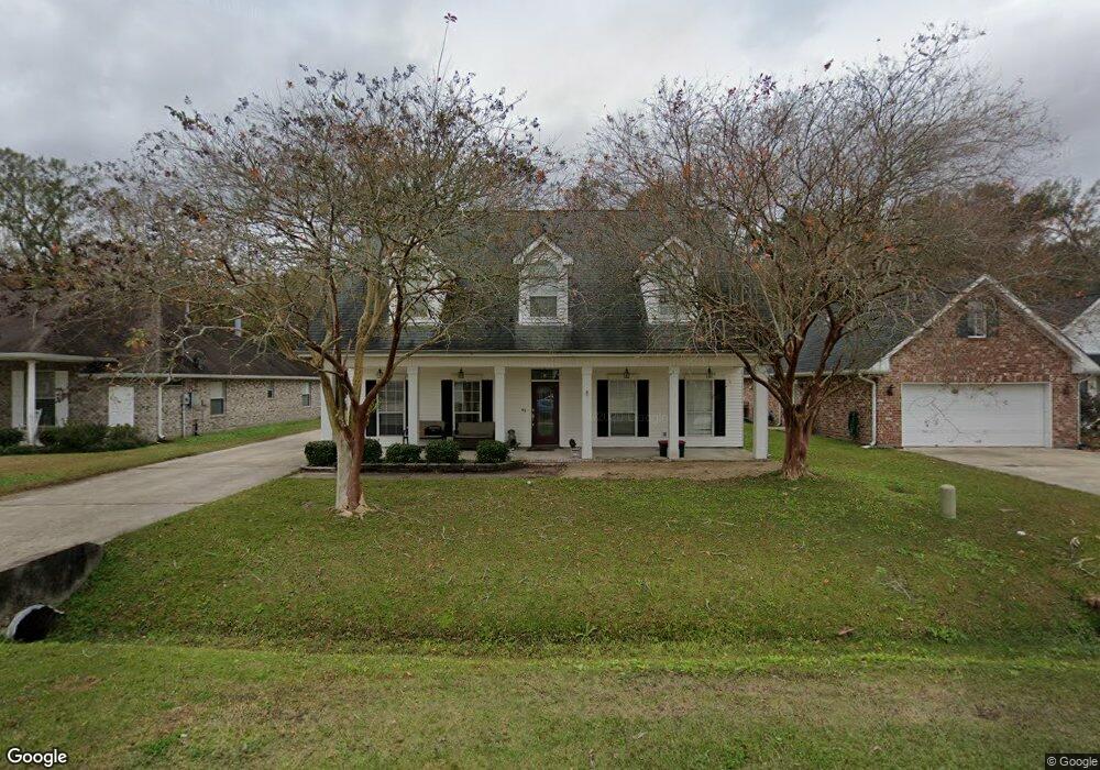
123 Franklin St Luling, LA 70070
Estimated Value: $341,000 - $394,000
--
Bed
--
Bath
8,050
Sq Ft
$46/Sq Ft
Est. Value
About This Home
This home is located at 123 Franklin St, Luling, LA 70070 and is currently estimated at $374,044, approximately $46 per square foot. 123 Franklin St is a home located in St. Charles Parish with nearby schools including Mimosa Park Elementary School, Lakewood Elementary School, and J.B. Martin Middle School.
Ownership History
Date
Name
Owned For
Owner Type
Purchase Details
Closed on
Sep 22, 2023
Sold by
St Pierre Dana Noel & Gabel J
Bought by
Mason Jamie Lynn and Mason Shane Christopher
Current Estimated Value
Home Financials for this Owner
Home Financials are based on the most recent Mortgage that was taken out on this home.
Original Mortgage
$280,000
Outstanding Balance
$274,061
Interest Rate
6.96%
Mortgage Type
New Conventional
Estimated Equity
$99,983
Create a Home Valuation Report for This Property
The Home Valuation Report is an in-depth analysis detailing your home's value as well as a comparison with similar homes in the area
Home Values in the Area
Average Home Value in this Area
Purchase History
| Date | Buyer | Sale Price | Title Company |
|---|---|---|---|
| Mason Jamie Lynn | $352,000 | Southern Title |
Source: Public Records
Mortgage History
| Date | Status | Borrower | Loan Amount |
|---|---|---|---|
| Open | Mason Jamie Lynn | $280,000 |
Source: Public Records
Tax History Compared to Growth
Tax History
| Year | Tax Paid | Tax Assessment Tax Assessment Total Assessment is a certain percentage of the fair market value that is determined by local assessors to be the total taxable value of land and additions on the property. | Land | Improvement |
|---|---|---|---|---|
| 2024 | $3,121 | $37,910 | $6,550 | $31,360 |
| 2023 | $2,195 | $24,392 | $5,370 | $19,022 |
| 2022 | $2,852 | $24,392 | $5,370 | $19,022 |
| 2021 | $2,185 | $18,529 | $4,833 | $13,696 |
| 2020 | $2,882 | $24,392 | $5,370 | $19,022 |
| 2019 | $2,771 | $23,364 | $4,100 | $19,264 |
| 2018 | $2,749 | $23,364 | $4,100 | $19,264 |
| 2017 | $2,746 | $23,364 | $4,100 | $19,264 |
| 2016 | $2,758 | $23,364 | $4,100 | $19,264 |
| 2015 | $2,067 | $25,077 | $3,604 | $21,473 |
| 2014 | $1,991 | $25,077 | $3,604 | $21,473 |
| 2013 | $1,998 | $25,077 | $3,604 | $21,473 |
Source: Public Records
Map
Nearby Homes
- 320 Monsanto Ave
- 502 Kellogg Dr
- 426 River Oaks Dr
- 319 Wanda St
- 321 Saint Anthony St
- 330 Saint Nicholas St
- 100 Melonie St Unit E
- 313 River Ridge Dr
- 38 Woodland Dr
- 61 Saint Anthony St
- 102 Flowerwood Ct
- 125 Lakewood Dr
- 192 Lakewood Dr
- 12429 Highway 90
- 334 River Ridge Dr
- 123 Braden Dr
- 124 Birch St
- 420 Lakewood Dr
- 101 Sharon Ave
- 102 Apple Ct