Estimated Value: $225,903 - $272,000
--
Bed
--
Bath
768
Sq Ft
$336/Sq Ft
Est. Value
About This Home
This home is located at 123 Hadfield Rd, Minot, ME 04258 and is currently estimated at $257,976, approximately $335 per square foot. 123 Hadfield Rd is a home located in Androscoggin County with nearby schools including Minot Consolidated School.
Ownership History
Date
Name
Owned For
Owner Type
Purchase Details
Closed on
Oct 22, 2012
Sold by
Pare Lisa J and Bussiere Lisa J
Bought by
Bussiere John D
Current Estimated Value
Home Financials for this Owner
Home Financials are based on the most recent Mortgage that was taken out on this home.
Original Mortgage
$112,800
Interest Rate
3.57%
Mortgage Type
New Conventional
Create a Home Valuation Report for This Property
The Home Valuation Report is an in-depth analysis detailing your home's value as well as a comparison with similar homes in the area
Home Values in the Area
Average Home Value in this Area
Purchase History
| Date | Buyer | Sale Price | Title Company |
|---|---|---|---|
| Bussiere John D | -- | -- |
Source: Public Records
Mortgage History
| Date | Status | Borrower | Loan Amount |
|---|---|---|---|
| Closed | Bussiere John D | $112,800 |
Source: Public Records
Tax History Compared to Growth
Tax History
| Year | Tax Paid | Tax Assessment Tax Assessment Total Assessment is a certain percentage of the fair market value that is determined by local assessors to be the total taxable value of land and additions on the property. | Land | Improvement |
|---|---|---|---|---|
| 2024 | $2,238 | $200,708 | $97,748 | $102,960 |
| 2023 | $2,000 | $200,029 | $97,069 | $102,960 |
| 2022 | $1,992 | $202,250 | $97,838 | $104,412 |
| 2021 | $2,087 | $126,112 | $58,783 | $67,329 |
| 2020 | $2,098 | $126,777 | $59,448 | $67,329 |
| 2019 | $2,016 | $127,179 | $59,850 | $67,329 |
| 2018 | $2,029 | $128,038 | $60,709 | $67,329 |
| 2017 | $1,998 | $127,239 | $59,910 | $67,329 |
| 2016 | $1,751 | $113,688 | $59,048 | $54,640 |
| 2015 | $1,722 | $110,374 | $55,734 | $54,640 |
| 2014 | $1,656 | $110,409 | $55,769 | $54,640 |
Source: Public Records
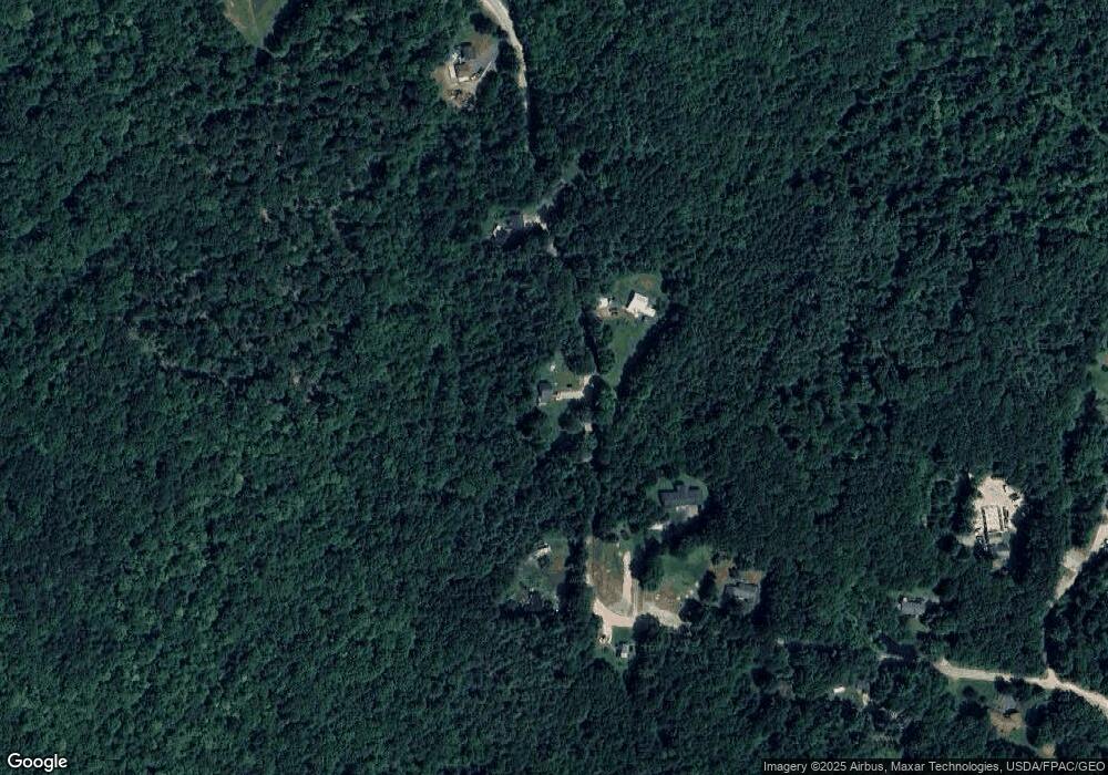
Map
Nearby Homes
- 444 W Auburn Rd
- 351 W Auburn Rd
- 207 N Auburn Rd
- 759 Lake St
- 355 Woodman Hill Rd
- R03-007-A Pottle Hill Rd
- 0 Beaver Rd
- 78 Star Dr
- 88 Tourmaline Ln Unit 34
- 450 Millett Rd
- 18 Concord Place Unit 24
- 123 Oak Hill Rd
- 12 Buttercup Cir
- Lot 14C Mechanic Falls Rd
- 1154 Hotel Rd
- 7 Mallard Dr
- 27 Andrea Ln Unit 9
- TBD Skillings Woods Rd
- 5 Braman St
- 52 Harvard St
- 116 Hadfield Rd
- 158 Hadfield Rd
- 105 Hadfield Rd
- 145 Hadfield Rd
- 102 Hadfield Rd
- 160 Hadfield Rd
- 151 Hadfield Rd
- 87 Hadfield Rd
- 167 Hadfield Rd
- 175 Hadfield Rd
- 175 Hadfield Rd
- 178 Hadfield Rd
- 178 Hadfield Rd
- 184 Hadfield Rd
- 189 Hadfield Rd
- 190 Hadfield Rd
- 31 Hadfield Rd
- 50 Hadfield Rd
- 169 Marston Hill Rd
- 1 Hadfield Rd