123 High Rock Rd Sandy Hook, CT 06482
Estimated Value: $629,791 - $795,000
4
Beds
3
Baths
2,711
Sq Ft
$269/Sq Ft
Est. Value
About This Home
This home is located at 123 High Rock Rd, Sandy Hook, CT 06482 and is currently estimated at $729,448, approximately $269 per square foot. 123 High Rock Rd is a home located in Fairfield County with nearby schools including Sandy Hook Elementary School, Reed Intermediate School, and Newtown Middle School.
Ownership History
Date
Name
Owned For
Owner Type
Purchase Details
Closed on
Apr 9, 2009
Sold by
Wheeler Mattehw L
Bought by
Habbough Kuthair A and Habbough Amy J
Current Estimated Value
Home Financials for this Owner
Home Financials are based on the most recent Mortgage that was taken out on this home.
Original Mortgage
$380,000
Interest Rate
4.94%
Purchase Details
Closed on
Jun 24, 1994
Sold by
Mcgrath Edward and Radicsi Glen
Bought by
Wheeler Matthew and Wheeler Kimberly
Create a Home Valuation Report for This Property
The Home Valuation Report is an in-depth analysis detailing your home's value as well as a comparison with similar homes in the area
Home Values in the Area
Average Home Value in this Area
Purchase History
| Date | Buyer | Sale Price | Title Company |
|---|---|---|---|
| Habbough Kuthair A | $475,000 | -- | |
| Habbough Kuthair A | $475,000 | -- | |
| Wheeler Matthew | $269,000 | -- | |
| Wheeler Matthew | $269,000 | -- |
Source: Public Records
Mortgage History
| Date | Status | Borrower | Loan Amount |
|---|---|---|---|
| Open | Wheeler Matthew | $27,800 | |
| Open | Wheeler Matthew | $362,305 | |
| Closed | Wheeler Matthew | $380,000 |
Source: Public Records
Tax History
| Year | Tax Paid | Tax Assessment Tax Assessment Total Assessment is a certain percentage of the fair market value that is determined by local assessors to be the total taxable value of land and additions on the property. | Land | Improvement |
|---|---|---|---|---|
| 2025 | $9,581 | $333,360 | $63,720 | $269,640 |
| 2024 | $8,991 | $333,360 | $63,720 | $269,640 |
| 2023 | $8,747 | $333,360 | $63,720 | $269,640 |
| 2022 | $8,328 | $240,200 | $67,360 | $172,840 |
| 2021 | $8,323 | $240,200 | $67,360 | $172,840 |
| 2020 | $8,349 | $240,200 | $67,360 | $172,840 |
| 2019 | $8,352 | $240,200 | $67,360 | $172,840 |
| 2018 | $8,224 | $240,200 | $67,360 | $172,840 |
| 2017 | $7,802 | $230,350 | $69,360 | $160,990 |
| 2016 | $7,740 | $230,350 | $69,360 | $160,990 |
| 2015 | $7,618 | $230,350 | $69,360 | $160,990 |
| 2014 | $7,673 | $230,350 | $69,360 | $160,990 |
Source: Public Records
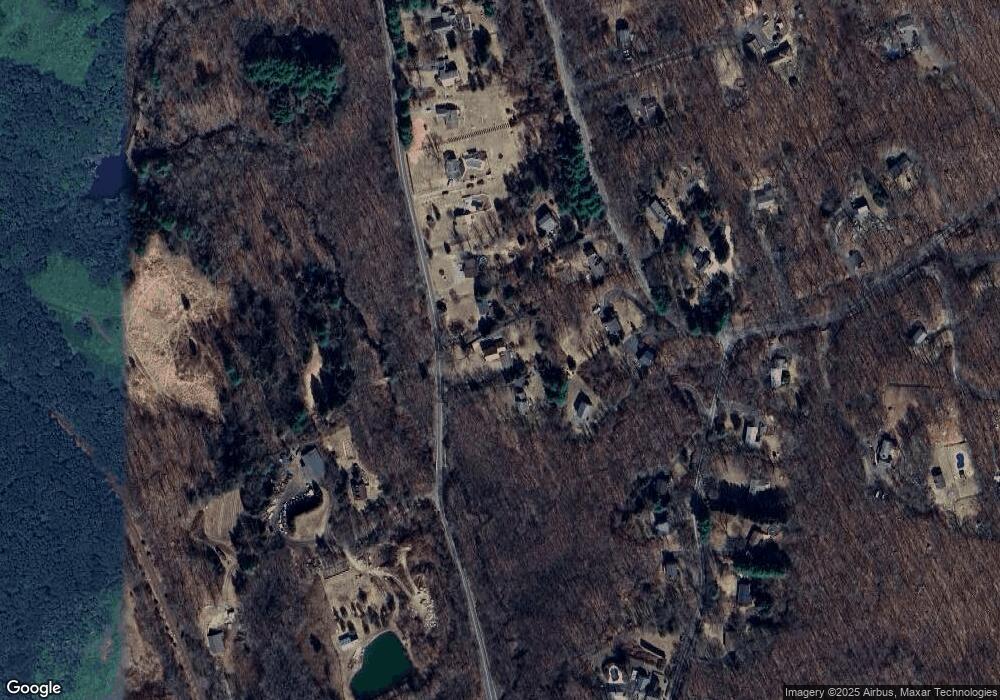
Map
Nearby Homes
- 42 Great Ring Rd
- 3 Rowledge Pond Rd
- 61 High Rock Rd
- 40 Great Ring Rd
- 59 Great Ring Rd
- 360 Garder Rd
- 49 Great Ring Rd
- 491 Hammertown Rd
- 275 Hammertown Rd
- 39 Bradley Ln
- 3 Serenity Ln
- 66 Marlin Rd
- 8 Stone Bridge Trail
- 13 Jordan Hill Rd Unit Lot 4
- 58 Botsford Hill Rd
- 167 Toddy Hill Rd
- 238 Berkshire Rd
- 114 Turkey Roost Rd
- 124 Bagburn Rd
- 34 Bagburn Rd
- 121 High Rock Rd
- 125 High Rock Rd
- 119 High Rock Rd
- 18 Sand Hill Rd
- 16 Sand Hill Rd
- 20 Sand Hill Rd
- 117 High Rock Rd
- 14 Sand Hill Rd
- 86 Great Ring Rd
- 115 High Rock Rd
- 86A Great Ring Rd
- 82 Great Ring Rd
- 19 Sand Hill Rd
- 113 High Rock Rd
- 88 Great Ring Rd
- 87 Great Ring Rd
- 89 Great Ring Rd
- 17 Sand Hill Rd
- 111 High Rock Rd
Your Personal Tour Guide
Ask me questions while you tour the home.