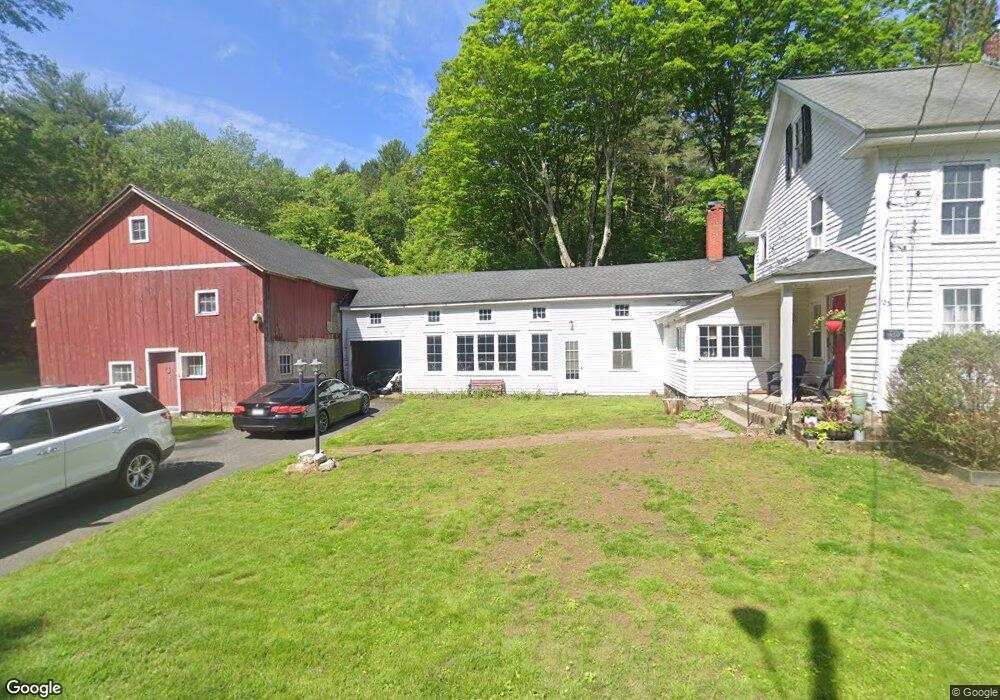
123 Honey Pot Rd Westfield, MA 01085
Estimated Value: $410,000 - $432,522
3
Beds
2
Baths
1,608
Sq Ft
$262/Sq Ft
Est. Value
About This Home
This home is located at 123 Honey Pot Rd, Westfield, MA 01085 and is currently estimated at $421,131, approximately $261 per square foot. 123 Honey Pot Rd is a home located in Hampden County with nearby schools including Westfield High School.
Ownership History
Date
Name
Owned For
Owner Type
Purchase Details
Closed on
Sep 9, 2019
Sold by
Samuelsen Kirk S and Samuelsen Rachel D
Bought by
Samuelsen Kirk S
Current Estimated Value
Purchase Details
Closed on
Dec 28, 2011
Sold by
Bankruptcy T and Weiss Steven
Bought by
Samuelsen Kirk S and Samuelsen Rachel D
Purchase Details
Closed on
Aug 22, 2008
Sold by
Mcmordie John W
Bought by
Mcmordie Cheryl A
Purchase Details
Closed on
Sep 12, 1996
Sold by
Stickel Wesley N
Bought by
Mcmordie John W and Mcmordie Cheryl A
Home Financials for this Owner
Home Financials are based on the most recent Mortgage that was taken out on this home.
Original Mortgage
$143,910
Interest Rate
8.18%
Mortgage Type
Purchase Money Mortgage
Create a Home Valuation Report for This Property
The Home Valuation Report is an in-depth analysis detailing your home's value as well as a comparison with similar homes in the area
Home Values in the Area
Average Home Value in this Area
Purchase History
| Date | Buyer | Sale Price | Title Company |
|---|---|---|---|
| Samuelsen Kirk S | -- | -- | |
| Samuelsen Kirk S | $85,000 | -- | |
| Mcmordie Cheryl A | -- | -- | |
| Mcmordie John W | $159,900 | -- |
Source: Public Records
Mortgage History
| Date | Status | Borrower | Loan Amount |
|---|---|---|---|
| Previous Owner | Mcmordie John W | $207,000 | |
| Previous Owner | Mcmordie John W | $140,000 | |
| Previous Owner | Mcmordie John W | $30,700 | |
| Previous Owner | Mcmordie John W | $143,910 |
Source: Public Records
Tax History Compared to Growth
Tax History
| Year | Tax Paid | Tax Assessment Tax Assessment Total Assessment is a certain percentage of the fair market value that is determined by local assessors to be the total taxable value of land and additions on the property. | Land | Improvement |
|---|---|---|---|---|
| 2025 | $5,164 | $340,200 | $157,700 | $182,500 |
| 2024 | $5,026 | $314,700 | $146,400 | $168,300 |
| 2023 | $4,894 | $288,200 | $139,300 | $148,900 |
| 2022 | $4,776 | $258,300 | $127,100 | $131,200 |
| 2021 | $4,637 | $245,600 | $121,500 | $124,100 |
| 2020 | $4,556 | $236,700 | $121,500 | $115,200 |
| 2019 | $4,465 | $227,000 | $117,100 | $109,900 |
| 2018 | $4,395 | $227,000 | $117,100 | $109,900 |
| 2017 | $4,366 | $224,800 | $118,400 | $106,400 |
| 2016 | $4,370 | $224,800 | $118,400 | $106,400 |
| 2015 | $4,168 | $224,800 | $118,400 | $106,400 |
| 2014 | $3,117 | $224,800 | $118,400 | $106,400 |
Source: Public Records
Map
Nearby Homes
- 156 Honey Pot Rd
- 162 Honey Pot Rd
- 444 Loomis St
- 197 Loomis Rg
- 3 Angelica Dr
- 126 Western Cir
- 53 Yankee Cir
- 508 Granville Rd
- 40 Heritage Ln
- 0 Fox Hill Dr
- 110 Kensington Ave
- 555 Russell Rd Unit U A3
- 555 Russell Rd Unit D18
- 549 Russell Rd Unit 6B
- 66 Stoney Ln
- 386 Hillside Rd
- 324 Russell Rd Unit 204
- 16 Spruce St
- 240 Hillside Rd
- 11 Highland Cir
- 120 Honey Pot Rd
- 145 Honey Pot Rd
- 150 Honey Pot Rd
- 161 Honey Pot Rd
- 95 Honey Pot Rd
- 169 Honey Pot Rd
- 174 Honey Pot Rd
- Lot 24 Honey Pot Rd
- B-2 Honey Pot Rd
- Lot 2B Honey Pot Rd
- 100 Honey Pot Rd
- 177 Honey Pot Rd
- 176 Honey Pot Rd
- 189 Honey Pot Rd
- 64 Honey Pot Rd
- 65 Honey Pot Rd
- 180 Honey Pot Rd
- 55 Honey Pot Rd
- 202 Honey Pot Rd
- 215 Honey Pot Rd