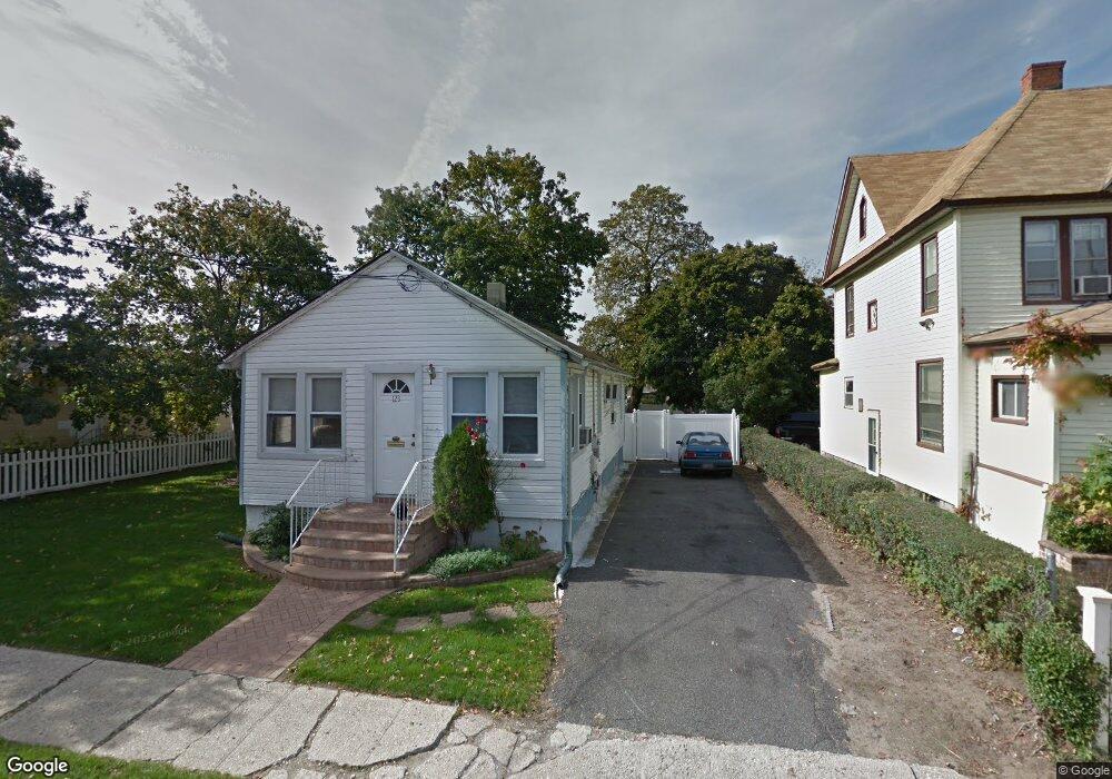
123 Jay St Freeport, NY 11520
Estimated Value: $407,000 - $496,422
Studio
1
Bath
884
Sq Ft
$511/Sq Ft
Est. Value
About This Home
This home is located at 123 Jay St, Freeport, NY 11520 and is currently estimated at $451,711, approximately $510 per square foot. 123 Jay St is a home located in Nassau County with nearby schools including Columbus Avenue School, Caroline G. Atkinson Intermediate School, and John W Dodd Middle School.
Ownership History
Date
Name
Owned For
Owner Type
Purchase Details
Closed on
Dec 2, 2005
Sold by
Gomez Jair
Bought by
Cruz Gregoria
Current Estimated Value
Purchase Details
Closed on
Aug 31, 2004
Sold by
Velasquez Iris
Bought by
Gomez Jair
Purchase Details
Closed on
Apr 30, 2004
Sold by
Matrix Equities Inc
Bought by
Velasquez Iris
Purchase Details
Closed on
May 30, 1998
Sold by
Salvador/Jose Ruiz and Salvador/Jose Mendoza
Bought by
Orellana Racael and Pleitez Aguirre Eri Onan
Purchase Details
Closed on
Nov 18, 1996
Sold by
Pogoda Adriana
Bought by
Mendoza Jose
Purchase Details
Closed on
Jul 17, 1996
Sold by
Flanagan Ruth
Bought by
Pogoda Adriana
Create a Home Valuation Report for This Property
The Home Valuation Report is an in-depth analysis detailing your home's value as well as a comparison with similar homes in the area
Home Values in the Area
Average Home Value in this Area
Purchase History
| Date | Buyer | Sale Price | Title Company |
|---|---|---|---|
| Cruz Gregoria | $325,000 | -- | |
| Gomez Jair | $265,000 | -- | |
| Velasquez Iris | $223,000 | -- | |
| Orellana Racael | $120,000 | -- | |
| Mendoza Jose | $112,027 | -- | |
| Pogoda Adriana | $79,000 | -- | |
| -- | -- | -- | |
| -- | $43,000 | -- |
Source: Public Records
Tax History
| Year | Tax Paid | Tax Assessment Tax Assessment Total Assessment is a certain percentage of the fair market value that is determined by local assessors to be the total taxable value of land and additions on the property. | Land | Improvement |
|---|---|---|---|---|
| 2025 | $5,723 | $307 | $167 | $140 |
| 2024 | $720 | $307 | $167 | $140 |
| 2023 | $6,139 | $307 | $167 | $140 |
| 2022 | $6,139 | $307 | $167 | $140 |
| 2021 | $9,875 | $294 | $160 | $134 |
| 2020 | $7,716 | $641 | $400 | $241 |
| 2019 | $8,095 | $641 | $400 | $241 |
| 2018 | $7,845 | $641 | $0 | $0 |
| 2017 | $6,314 | $641 | $400 | $241 |
| 2016 | $7,276 | $641 | $400 | $241 |
| 2015 | $926 | $641 | $400 | $241 |
| 2014 | $926 | $641 | $400 | $241 |
| 2013 | $875 | $641 | $400 | $241 |
Source: Public Records
Map
Nearby Homes
- 67 E Dean St
- 70 N Grove St Unit 1N
- 70 N Grove St Unit 1R
- 101 Harris Ave
- 35 W Seaman Ave
- 115 N Bergen Place
- 27 W Woodbine Dr
- 26 Rosedale Ave
- 98 N Columbus Ave
- 96 N Columbus Ave
- 99 Randall Ave Unit 1Q
- 101 Wallace St
- 161 Wallace St
- 120 Lena Ave
- 247 N Columbus Ave
- 58 Rutland Rd
- 173 E Seaman Ave
- 58 Shonnard Ave
- 60 Connecticut Ave
- 70 S Main St Unit 307-PH
Your Personal Tour Guide
Ask me questions while you tour the home.