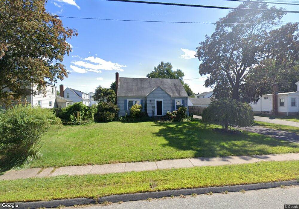
123 Jordan Ln Wethersfield, CT 06109
Estimated Value: $300,000 - $368,000
3
Beds
2
Baths
1,297
Sq Ft
$266/Sq Ft
Est. Value
About This Home
This home is located at 123 Jordan Ln, Wethersfield, CT 06109 and is currently estimated at $345,296, approximately $266 per square foot. 123 Jordan Ln is a home located in Hartford County with nearby schools including Charles Wright School, Silas Deane Middle School, and Wethersfield High School.
Ownership History
Date
Name
Owned For
Owner Type
Purchase Details
Closed on
Mar 13, 2006
Sold by
Barrow Robert A and Barrow Bonnie
Bought by
Richardson Tina R and Holgerson Kathleen S
Current Estimated Value
Home Financials for this Owner
Home Financials are based on the most recent Mortgage that was taken out on this home.
Original Mortgage
$211,850
Interest Rate
6.15%
Purchase Details
Closed on
Mar 18, 1988
Sold by
Doyle Alice Estate
Bought by
Makris Speno J
Create a Home Valuation Report for This Property
The Home Valuation Report is an in-depth analysis detailing your home's value as well as a comparison with similar homes in the area
Home Values in the Area
Average Home Value in this Area
Purchase History
We collect this data history from publicly available records. To have your information removed, we recommend requesting removal directly through your county’s website.
| Date | Buyer | Sale Price | Title Company |
|---|---|---|---|
| Richardson Tina R | $223,000 | -- | |
| Makris Speno J | $130,000 | -- |
Source: Public Records
Mortgage History
We collect this data history from publicly available records. To have your information removed, we recommend requesting removal directly through your county’s website.
| Date | Status | Borrower | Loan Amount |
|---|---|---|---|
| Open | Makris Speno J | $192,100 | |
| Closed | Makris Speno J | $211,850 | |
| Previous Owner | Makris Speno J | $175,000 | |
| Previous Owner | Makris Speno J | $126,875 |
Source: Public Records
Tax History
| Year | Tax Paid | Tax Assessment Tax Assessment Total Assessment is a certain percentage of the fair market value that is determined by local assessors to be the total taxable value of land and additions on the property. | Land | Improvement |
|---|---|---|---|---|
| 2025 | $6,856 | $166,330 | $69,260 | $97,070 |
| 2024 | $4,567 | $105,670 | $33,600 | $72,070 |
| 2023 | $4,415 | $105,670 | $33,600 | $72,070 |
| 2022 | $4,341 | $105,670 | $33,600 | $72,070 |
| 2021 | $4,298 | $105,670 | $33,600 | $72,070 |
| 2020 | $4,300 | $105,670 | $33,600 | $72,070 |
| 2019 | $4,305 | $105,670 | $33,600 | $72,070 |
| 2018 | $4,278 | $104,900 | $30,800 | $74,100 |
| 2017 | $4,172 | $104,900 | $30,800 | $74,100 |
| 2016 | $4,043 | $104,900 | $30,800 | $74,100 |
| 2015 | $4,006 | $104,900 | $30,800 | $74,100 |
| 2014 | $3,854 | $104,900 | $30,800 | $74,100 |
Source: Public Records
Map
Nearby Homes
- 124 Jordan Ln
- 53 Wolcott Hill Rd Unit C12
- 41 Saxon Rd
- 142 Wolcott Hill Rd
- 20 Flower St
- 13 Wilcox St
- 193 Wolcott Hill Rd Unit 195
- 35 Greenfield St
- 56 Tredeau St
- 24 Hillcrest Ave
- 21 Brookside Cir
- 51 Hanmer St
- 317-319 Garden St
- 2 Morrison Ave
- 215 Goodrich St
- 18 Tabshey Ct
- 1 Brussels Ave
- 755 Wethersfield Ave Unit C13
- 755 Wethersfield Ave Unit C15
- 755 Wethersfield Ave Unit C11
- 127 Jordan Ln
- 129 Jordan Ln
- 5 Buckland Rd
- 11 Buckland Rd
- 2 Lexington St
- 15 Buckland Rd
- 134 Jordan Ln
- 4 Lexington St
- 19 Buckland Rd
- 116 Jordan Ln
- 0 Mcmullen Ave Unit G10060411
- 0 Mcmullen Ave Unit G10189891
- 0 Mcmullen Ave Unit 170180763
- 139 Jordan Ln
- 6 Lexington St
- 6 Buckland Rd
- 23 Buckland Rd
- 1 Lexington St
- 10 Buckland Rd
- 128 Jordan Ln
Your Personal Tour Guide
Ask me questions while you tour the home.