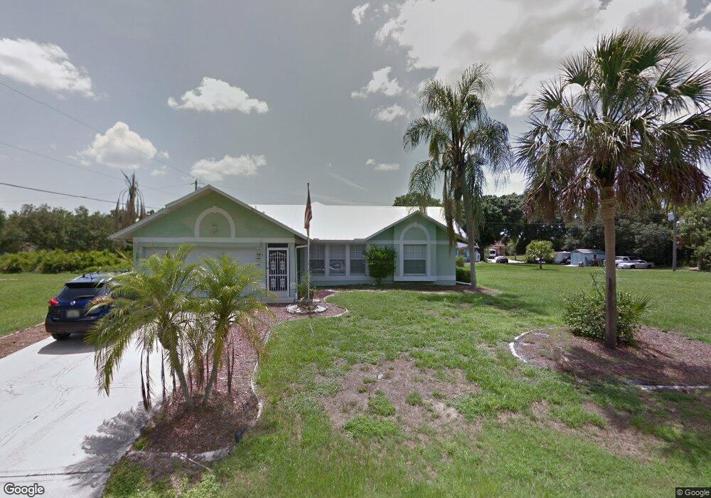
123 Kildare St Port Charlotte, FL 33954
Estimated Value: $221,000 - $343,000
3
Beds
2
Baths
2,146
Sq Ft
$133/Sq Ft
Est. Value
About This Home
This home is located at 123 Kildare St, Port Charlotte, FL 33954 and is currently estimated at $286,048, approximately $133 per square foot. 123 Kildare St is a home located in Charlotte County with nearby schools including Kingsway Elementary School, Port Charlotte Middle School, and Port Charlotte High School.
Ownership History
Date
Name
Owned For
Owner Type
Purchase Details
Closed on
Aug 1, 2016
Bought by
Anderson Raphael and Anderson Ramona G
Current Estimated Value
Purchase Details
Closed on
Oct 31, 2014
Sold by
Shoots Granville and Shoots Betty D
Bought by
Shoots Granville
Purchase Details
Closed on
May 3, 2006
Sold by
Shoots Granville and Shoots Betty D
Bought by
Shoots Granville and Shoots Betty D
Home Financials for this Owner
Home Financials are based on the most recent Mortgage that was taken out on this home.
Original Mortgage
$185,600
Interest Rate
6.25%
Mortgage Type
Fannie Mae Freddie Mac
Create a Home Valuation Report for This Property
The Home Valuation Report is an in-depth analysis detailing your home's value as well as a comparison with similar homes in the area
Home Values in the Area
Average Home Value in this Area
Purchase History
| Date | Buyer | Sale Price | Title Company |
|---|---|---|---|
| Anderson Raphael | $160,000 | -- | |
| Shoots Granville | -- | Attorney | |
| Shoots Granville | -- | Attorney |
Source: Public Records
Mortgage History
| Date | Status | Borrower | Loan Amount |
|---|---|---|---|
| Previous Owner | Shoots Granville | $185,600 |
Source: Public Records
Tax History Compared to Growth
Tax History
| Year | Tax Paid | Tax Assessment Tax Assessment Total Assessment is a certain percentage of the fair market value that is determined by local assessors to be the total taxable value of land and additions on the property. | Land | Improvement |
|---|---|---|---|---|
| 2024 | $3,538 | $186,249 | -- | -- |
| 2023 | $3,538 | $180,824 | $0 | $0 |
| 2022 | $2,360 | $144,944 | $0 | $0 |
| 2021 | $2,349 | $140,722 | $0 | $0 |
| 2020 | $2,298 | $138,779 | $0 | $0 |
| 2019 | $2,205 | $135,659 | $0 | $0 |
| 2018 | $2,028 | $133,130 | $0 | $0 |
| 2017 | $2,005 | $130,392 | $4,651 | $125,741 |
| 2016 | $1,145 | $77,108 | $0 | $0 |
| 2015 | $1,127 | $76,572 | $0 | $0 |
| 2014 | $1,102 | $75,964 | $0 | $0 |
Source: Public Records
Map
Nearby Homes
- 140 Snowden St
- 21464 Bingham Ave
- 21551 Bachmann Blvd
- 84 Birchcrest Blvd
- 117 Independence St
- 76 Birchcrest Blvd
- 166 Birchcrest Blvd
- 76 Independence St
- 234 Harbor Blvd
- 0 Lot 18 S Raintree Blvd
- 215 Fletcher St
- 142 Algonquin St
- 78 Algonquin St
- 175 Fletcher St
- 54 Algonquin St
- 22049 Deborah Ave
- 22057 Deborah Ave
- 109 Snedeker St
- 61 Snedeker St
- 207 Fletcher St
- 133 Kildare St
- 110 Tobias St
- 130 Tobias (Lot 3) St
- 130 Tobias St
- 120 Kildare St
- 110 Kildare St
- 103 Kildare St
- 140 Kildare St
- 140 Tobias St
- 123 Snowden St
- 21509 Seyburn Terrace
- 153 Kildare St
- 93 Kildare St
- 100 Snowden St
- 103 Tobias St
- 123 Tobias St
- 113 Tobias St
- 150 Kildare St
- 88 Kildare St
- 120 Harbor Blvd