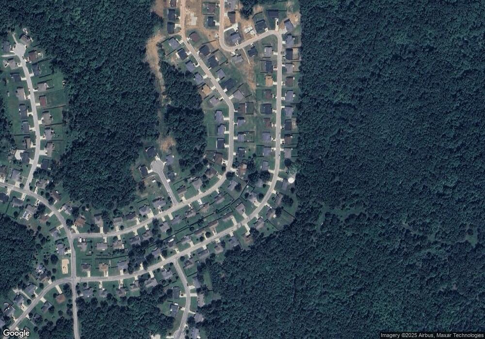
123 La Vista Dr Waynesville, MO 65583
Estimated Value: $224,000 - $325,000
3
Beds
2
Baths
1,368
Sq Ft
$198/Sq Ft
Est. Value
About This Home
This home is located at 123 La Vista Dr, Waynesville, MO 65583 and is currently estimated at $270,844, approximately $197 per square foot. 123 La Vista Dr is a home located in Pulaski County with nearby schools including Waynesville East Elementary School, Freedom Elementary School, and Waynesville Sixth Grade Center.
Ownership History
Date
Name
Owned For
Owner Type
Purchase Details
Closed on
Jul 13, 2009
Sold by
Sukalski Jeffrey L and Sukalski Martha L
Bought by
Sukalski Jeffrey L and Sukalski Martha L
Current Estimated Value
Purchase Details
Closed on
Jul 18, 2008
Sold by
Ltd Contracting Inc
Bought by
Sukalski Jeffrey L
Home Financials for this Owner
Home Financials are based on the most recent Mortgage that was taken out on this home.
Original Mortgage
$116,000
Outstanding Balance
$75,757
Interest Rate
6.4%
Mortgage Type
New Conventional
Estimated Equity
$195,087
Create a Home Valuation Report for This Property
The Home Valuation Report is an in-depth analysis detailing your home's value as well as a comparison with similar homes in the area
Home Values in the Area
Average Home Value in this Area
Purchase History
| Date | Buyer | Sale Price | Title Company |
|---|---|---|---|
| Sukalski Jeffrey L | -- | None Available | |
| Sukalski Jeffrey L | -- | None Available |
Source: Public Records
Mortgage History
| Date | Status | Borrower | Loan Amount |
|---|---|---|---|
| Open | Sukalski Jeffrey L | $116,000 |
Source: Public Records
Tax History Compared to Growth
Tax History
| Year | Tax Paid | Tax Assessment Tax Assessment Total Assessment is a certain percentage of the fair market value that is determined by local assessors to be the total taxable value of land and additions on the property. | Land | Improvement |
|---|---|---|---|---|
| 2024 | $981 | $23,208 | $6,270 | $16,938 |
| 2023 | $958 | $23,208 | $6,270 | $16,938 |
| 2022 | $897 | $21,878 | $4,940 | $16,938 |
| 2021 | $887 | $21,878 | $4,940 | $16,938 |
| 2020 | $873 | $21,024 | $0 | $0 |
| 2019 | $872 | $21,071 | $0 | $0 |
| 2018 | $871 | $21,071 | $0 | $0 |
| 2017 | $861 | $21,024 | $0 | $0 |
| 2016 | $819 | $21,070 | $0 | $0 |
| 2015 | $812 | $21,070 | $0 | $0 |
| 2014 | $812 | $21,070 | $0 | $0 |
Source: Public Records
Map
Nearby Homes