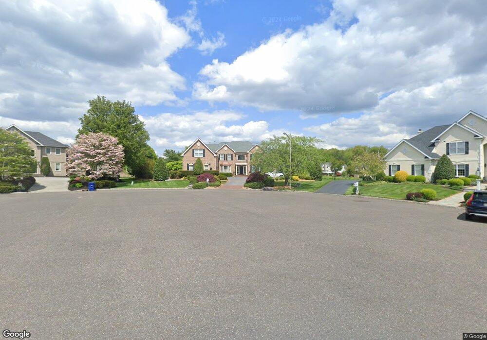
123 Muirfield Ct Moorestown, NJ 08057
Estimated Value: $1,449,000 - $1,971,000
--
Bed
--
Bath
4,790
Sq Ft
$346/Sq Ft
Est. Value
About This Home
This home is located at 123 Muirfield Ct, Moorestown, NJ 08057 and is currently estimated at $1,657,166, approximately $345 per square foot. 123 Muirfield Ct is a home located in Burlington County with nearby schools including South Valley Elementary School, Moorestown Upper Elementary School, and William Allen Middle School.
Ownership History
Date
Name
Owned For
Owner Type
Purchase Details
Closed on
Apr 25, 2002
Sold by
Jaffe Peter and Jaffe Jordan
Bought by
Chung Myung Kyu and Chung Grace U
Current Estimated Value
Home Financials for this Owner
Home Financials are based on the most recent Mortgage that was taken out on this home.
Original Mortgage
$700,000
Interest Rate
6.63%
Purchase Details
Closed on
Jan 31, 1997
Sold by
Laurel Creek Lp
Bought by
Jaffe Peter and Jaffe Jordan
Create a Home Valuation Report for This Property
The Home Valuation Report is an in-depth analysis detailing your home's value as well as a comparison with similar homes in the area
Home Values in the Area
Average Home Value in this Area
Purchase History
| Date | Buyer | Sale Price | Title Company |
|---|---|---|---|
| Chung Myung Kyu | $875,000 | Congress Title Corp | |
| Jaffe Peter | $664,402 | United Title & Abstract |
Source: Public Records
Mortgage History
| Date | Status | Borrower | Loan Amount |
|---|---|---|---|
| Closed | Chung Myung Kyu | $700,000 |
Source: Public Records
Tax History Compared to Growth
Tax History
| Year | Tax Paid | Tax Assessment Tax Assessment Total Assessment is a certain percentage of the fair market value that is determined by local assessors to be the total taxable value of land and additions on the property. | Land | Improvement |
|---|---|---|---|---|
| 2025 | $25,306 | $892,000 | $326,500 | $565,500 |
| 2024 | $24,539 | $892,000 | $326,500 | $565,500 |
| 2023 | $24,539 | $892,000 | $326,500 | $565,500 |
| 2022 | $24,289 | $892,000 | $326,500 | $565,500 |
| 2021 | $23,968 | $892,000 | $326,500 | $565,500 |
| 2020 | $23,816 | $892,000 | $326,500 | $565,500 |
| 2019 | $23,397 | $892,000 | $326,500 | $565,500 |
| 2018 | $22,506 | $881,900 | $326,500 | $555,400 |
| 2017 | $22,700 | $881,900 | $326,500 | $555,400 |
| 2016 | $22,621 | $881,900 | $326,500 | $555,400 |
| 2015 | $22,347 | $881,900 | $326,500 | $555,400 |
| 2014 | $21,219 | $881,900 | $326,500 | $555,400 |
Source: Public Records
Map
Nearby Homes
- 14 Baltusrol Terrace
- 950 Bortons Landing Rd
- 158 Sarazen Dr
- 12 Cove Rd
- 42 Landing Ct
- 40 Palmer Dr Unit 110
- 901 Mcelwee Rd
- 20 Starboard Way
- 6 Buoy Dr
- 218 Starboard Way
- 21 Beechnut Ln
- 79 Tiffany Ln
- 8 Catalpa Ln
- 861 Centerton Rd
- 101 Tiffany Ln
- 10 Crows Nest Ct
- 5 Birch Dr
- 5 Thornleigh Place
- 17 Thornleigh Place
- 163 Tiffany Ln
- 122 Muirfield Ct
- 121 Muirfield Ct
- 119 Muirfield Ct
- 120 Muirfield Ct
- 118 Muirfield Ct
- 116 Muirfield Ct
- 117 Muirfield Ct
- 114 Muirfield Ct
- 12 Baltusrol Terrace
- 115 Muirfield Ct
- 128 Oakmont Dr
- 126 Oakmont Dr
- 10 Baltusrol Terrace
- 124 Oakmont Dr
- 130 Oakmont Dr
- 112 Muirfield Ct
- 8 Baltusrol Terrace
- 132 Oakmont Dr
- 122 Oakmont Dr
- 113 Muirfield Ct