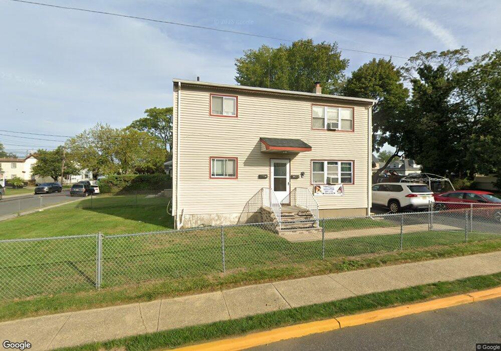
123 N 5th Ave Long Branch, NJ 07740
Estimated Value: $532,000 - $651,000
--
Bed
2
Baths
1,792
Sq Ft
$329/Sq Ft
Est. Value
About This Home
This home is located at 123 N 5th Ave, Long Branch, NJ 07740 and is currently estimated at $588,713, approximately $328 per square foot. 123 N 5th Ave is a home located in Monmouth County with nearby schools including Long Branch High School and Holy Trinity School.
Ownership History
Date
Name
Owned For
Owner Type
Purchase Details
Closed on
Jul 6, 2018
Sold by
Gibson Testamentary Trust
Bought by
123 Legacy Realty Llc
Current Estimated Value
Home Financials for this Owner
Home Financials are based on the most recent Mortgage that was taken out on this home.
Original Mortgage
$170,000
Outstanding Balance
$147,330
Interest Rate
4.5%
Mortgage Type
Seller Take Back
Estimated Equity
$441,383
Create a Home Valuation Report for This Property
The Home Valuation Report is an in-depth analysis detailing your home's value as well as a comparison with similar homes in the area
Home Values in the Area
Average Home Value in this Area
Purchase History
| Date | Buyer | Sale Price | Title Company |
|---|---|---|---|
| 123 Legacy Realty Llc | $290,000 | None Available |
Source: Public Records
Mortgage History
| Date | Status | Borrower | Loan Amount |
|---|---|---|---|
| Open | 123 Legacy Realty Llc | $170,000 |
Source: Public Records
Tax History Compared to Growth
Tax History
| Year | Tax Paid | Tax Assessment Tax Assessment Total Assessment is a certain percentage of the fair market value that is determined by local assessors to be the total taxable value of land and additions on the property. | Land | Improvement |
|---|---|---|---|---|
| 2025 | $6,137 | $483,800 | $196,500 | $287,300 |
| 2024 | $5,853 | $399,300 | $125,900 | $273,400 |
| 2023 | $5,853 | $376,900 | $115,900 | $261,000 |
| 2022 | $5,913 | $308,200 | $78,300 | $229,900 |
| 2021 | $5,913 | $295,500 | $71,300 | $224,200 |
| 2020 | $5,919 | $283,200 | $60,300 | $222,900 |
| 2019 | $5,694 | $270,900 | $58,300 | $212,600 |
| 2018 | $4,807 | $227,400 | $56,300 | $171,100 |
| 2017 | $5,614 | $272,400 | $56,300 | $216,100 |
| 2016 | $5,432 | $268,800 | $58,300 | $210,500 |
| 2015 | $4,111 | $184,600 | $49,300 | $135,300 |
| 2014 | $3,700 | $175,100 | $55,100 | $120,000 |
Source: Public Records
Map
Nearby Homes
- 151 N 5th Ave
- 148 Sixth Ave
- 184 N 5th Ave
- 40 N 5th Ave
- 40 University Dr
- 211 Rockwell Ave
- 190 Spruce St Unit 4
- 401 Joline Ave
- 14 Slocum Place
- 39 Slocum Place
- 222 Coleman Ave
- 145 Stokes Place
- 143 Stokes Place
- 119 Washington St
- 167 Chelsea Ave
- 231 Long Branch Ave
- 40 Seaview Ave Unit A
- 188 Chelton Ave
- 176 Chelsea Ave
- 323 Florence Ave
- 127 N 5th Ave
- 115 N 5th Ave
- 131 N 5th Ave
- 140 Rockwell Ave
- 135 N 5th Ave
- 109 N 5th Ave
- 144 Rockwell Ave
- 132 Rockwell Ave
- 148 Rockwell Ave
- 124 N 5th Ave
- 128 N 5th Ave
- 107 N 5th Ave
- 139 N 5th Ave
- 128 Rockwell Ave
- 132 N 5th Ave
- 152 Rockwell Ave
- 112 N 5th Ave
- 136 N 5th Ave
- 124 Rockwell Ave
- 156 Rockwell Ave