123 No Where Rd Blairsville, GA 30512
Estimated Value: $167,384 - $202,000
2
Beds
1
Bath
768
Sq Ft
$241/Sq Ft
Est. Value
About This Home
This home is located at 123 No Where Rd, Blairsville, GA 30512 and is currently estimated at $185,096, approximately $241 per square foot. 123 No Where Rd is a home located in Union County with nearby schools including Union County Primary School, Union County Elementary School, and Union County Middle School.
Ownership History
Date
Name
Owned For
Owner Type
Purchase Details
Closed on
Jan 18, 2017
Sold by
Fortenberry Joan
Bought by
Fortenberry Jonathan
Current Estimated Value
Purchase Details
Closed on
May 1, 2001
Sold by
Long Raymond P
Bought by
Long Raymond P
Purchase Details
Closed on
Aug 7, 2000
Sold by
Kent Brian
Bought by
Long Raymond P
Purchase Details
Closed on
Oct 5, 1992
Bought by
Kent Brian
Create a Home Valuation Report for This Property
The Home Valuation Report is an in-depth analysis detailing your home's value as well as a comparison with similar homes in the area
Home Values in the Area
Average Home Value in this Area
Purchase History
| Date | Buyer | Sale Price | Title Company |
|---|---|---|---|
| Fortenberry Jonathan | -- | -- | |
| Long Raymond P | -- | -- | |
| Long Raymond P | $30,000 | -- | |
| Kent Brian | -- | -- |
Source: Public Records
Tax History Compared to Growth
Tax History
| Year | Tax Paid | Tax Assessment Tax Assessment Total Assessment is a certain percentage of the fair market value that is determined by local assessors to be the total taxable value of land and additions on the property. | Land | Improvement |
|---|---|---|---|---|
| 2024 | $542 | $45,880 | $5,240 | $40,640 |
| 2023 | $607 | $45,560 | $5,240 | $40,320 |
| 2022 | $508 | $38,160 | $4,840 | $33,320 |
| 2021 | $472 | $29,960 | $3,760 | $26,200 |
| 2020 | $304 | $16,078 | $3,060 | $13,018 |
| 2019 | $288 | $16,078 | $3,060 | $13,018 |
| 2018 | $282 | $16,078 | $3,060 | $13,018 |
| 2017 | $282 | $16,078 | $3,060 | $13,018 |
| 2016 | $283 | $16,078 | $3,060 | $13,018 |
| 2015 | $285 | $16,078 | $3,060 | $13,018 |
| 2013 | -- | $16,077 | $3,060 | $13,017 |
Source: Public Records
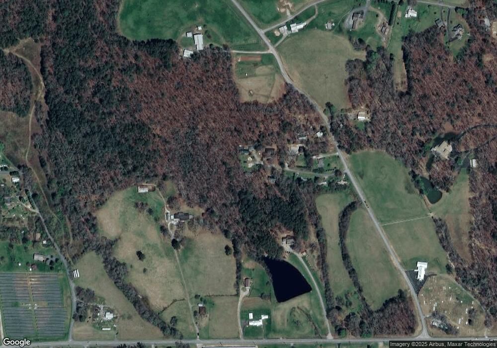
Map
Nearby Homes
- Lot 33 Burnette Rd N
- LT 39 Burnette Rd N
- LOT 40 Burnette Rd N
- Lt39 Burnette Rd N
- Lt 40 Burnette Rd N
- Lot 15 Burnette Rd N
- 329 Ed King Rd
- L 13/14 Anns Way
- 135 Floyds Way
- Lot 42 Coras Way Unit 42
- Lot 42 Coras Way
- 59 Meeks Ln
- 43 Melton Dr
- 6AC Pleasant Grove Rd
- 19 My Own Rd
- 141 Nathaniels Way
- 0 Nathaniels Way Unit 10438142
- 277 Hamilton Rd
- 497 Hidden Lake Rd
- 823 Hidden Lake Rd
- 89 No Where Rd
- 92 No-Where Rd
- 92 No Where Rd
- 78 No Where Rd
- 3869 No-Where Rd
- 78 No-Where Rd
- 277 Pleasant Grove Rd
- 255 Pleasant Grove Rd
- 255 Pleasant Grove Rd
- 4252 Blue Ridge Hwy
- 4396 Blue Ridge Hwy
- 3837 No-Where Rd
- 5155 Pleasant Grove Rd
- 4342 Blue Ridge Hwy
- 290 Pleasant Grove Rd
- 407 Pleasant Grove Rd
- 4340 Blue Ridge Hwy
- 4394 Blue Ridge Hwy
- 1025 Kings Rd
- 933 Kings Rd